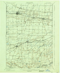
1899 Map of Bergen
USGS Topo · Published 1935About this map
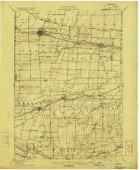
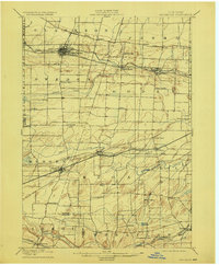
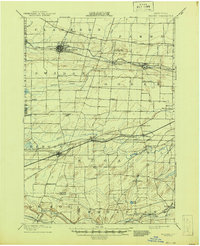
The Barge Canal corridor defines the northern landscape of this region, serving as a primary artery for trade and transportation through Brockport and Spencerport. This late 19th-century survey documents a dense network of farming hamlets and industrial hubs linked by an extensive rail system, including the New York Central and Hudson River and the West Shore railroads. Further south, the terrain transitions into the more rolling drumlins of Riga and Chili, where the village of Churchville sits at a critical intersection of rail and water. Local landmarks such as Stone Church and Fort Hill provide points of reference for genealogists tracking early Monroe and Genesee County families. The map also captures smaller, specialized settlements like Garbutt on Oatka Creek, illustrating the area's reliance on both natural waterways and the artificial canal system for its economic vitality at the turn of the century.
Find a feature on this map
58 named features on this map. Tap any name to fly to it.
Don’t see what you’re looking for? This feature index may not catch every label — zoom into the map to look around manually.
Map Details
Editions of this 1899 Bergen Map
8 editions found
Other maps of this area

1895 · Rochester
USGS Topo · 1:62,500

1895 · Ontario Beach
USGS Topo · 1:62,500

1897 · Albion
USGS Topo · 1:62,500

1897 · Oak Orchard
USGS Topo · 1:62,500

1898 · Rochester
USGS Topo · 1:62,500

1899 · Hamlin
USGS Topo · 1:62,500

1899 · Ontario Beach
USGS Topo · 1:62,500

1899 · Brockport
USGS Topo · 1:62,500

1901 · Honeoye
USGS Topo · 1:62,500

1904 · Batavia
USGS Topo · 1:62,500