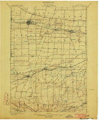
1899 Map of Brockport
USGS Topo · Published 1903About this map
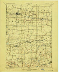
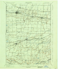
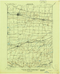
The Erie Canal forms the industrial backbone of this late 19th-century landscape, threading through key settlements like Brockport, Adams Basin, and Spencerport. This vital waterway, paralleled by the New York Central and Hudson River R. R., highlights the era's heavy reliance on coordinated water and rail transport for the movement of goods through Monroe County. Further south, the map reveals a dense network of smaller hamlets such as Churchville, Clifton, and Riga, connected by numerous secondary roads that diverge from the prominent Ridge Road in the north.
Find a feature on this map
56 named features on this map. Tap any name to fly to it.
Don’t see what you’re looking for? This feature index may not catch every label — zoom into the map to look around manually.
Map Details
Editions of this 1899 Brockport Map
8 editions found
Other maps of this area

1895 · Rochester
USGS Topo · 1:62,500

1895 · Ontario Beach
USGS Topo · 1:62,500

1897 · Albion
USGS Topo · 1:62,500

1897 · Oak Orchard
USGS Topo · 1:62,500

1898 · Rochester
USGS Topo · 1:62,500

1899 · Hamlin
USGS Topo · 1:62,500

1899 · Ontario Beach
USGS Topo · 1:62,500

1899 · Brockport
USGS Topo · 1:62,500

1901 · Honeoye
USGS Topo · 1:62,500

1904 · Batavia
USGS Topo · 1:62,500