
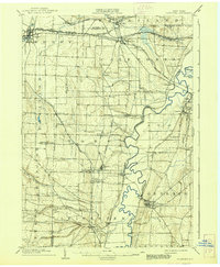
1904 Map of Caledonia
USGS Topo · Published 1904About this map
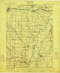
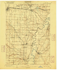
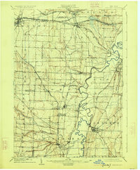
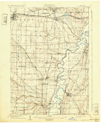
The Genesee River snakes through this landscape, defining the agricultural and industrial character of Western New York at the opening of the twentieth century. Major rail corridors converge at Caledonia, where the N.Y.C. and H.R. R.R. and the Erie R.R. Rochester Division intersect, facilitating the movement of goods from local salt mines and farms. Evidence of the region’s economic diversity is found in the concentrated settlement at Retsof and the presence of numerous small railway hamlets like Piffard and Fowlerville.
Find a feature on this map
60 named features on this map. Tap any name to fly to it.
Don’t see what you’re looking for? This feature index may not catch every label — zoom into the map to look around manually.
Map Details
Editions of this 1904 Caledonia Map
6 editions found
Other maps of this area

1895 · Rochester
USGS Topo · 1:62,500

1897 · Albion
USGS Topo · 1:62,500

1898 · Rochester
USGS Topo · 1:62,500

1899 · Brockport
USGS Topo · 1:62,500

1901 · Honeoye
USGS Topo · 1:62,500

1902 · Wayland
USGS Topo · 1:62,500

1904 · Wayland
USGS Topo · 1:62,500

1904 · Batavia
USGS Topo · 1:62,500

1904 · Honeoye
USGS Topo · 1:62,500

1905 · Portage
USGS Topo · 1:62,500