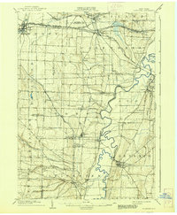
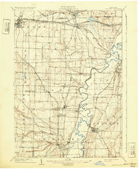
1904 Map of Caledonia
USGS Topo · Published 1938About this map
The Genesee River snakes through the heart of this Western New York landscape, defining the boundaries and economic patterns of Livingston and Genesee counties. This early 20th-century survey reveals a dense network of steam transportation, with the Pennsylvania RR and the Erie R.R. branching out to serve industrial and agricultural hubs. Notable among these is Retsof, a significant salt mining center, and the nearby Wadsworth P.O. S. Greigsville, indicating the vital role of local post offices and company-adjacent settlements in the era's social geography.
Find a feature on this map
65 named features on this map. Tap any name to fly to it.
Don’t see what you’re looking for? This feature index may not catch every label — zoom into the map to look around manually.
Map Details
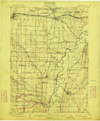
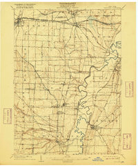
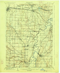
Editions of this 1904 Caledonia Map
6 editions found
Other maps of this area

1895 · Rochester
USGS Topo · 1:62,500

1897 · Albion
USGS Topo · 1:62,500

1898 · Rochester
USGS Topo · 1:62,500

1899 · Brockport
USGS Topo · 1:62,500

1901 · Honeoye
USGS Topo · 1:62,500

1902 · Wayland
USGS Topo · 1:62,500

1904 · Wayland
USGS Topo · 1:62,500

1904 · Batavia
USGS Topo · 1:62,500

1904 · Caledonia
USGS Topo · 1:62,500

1904 · Honeoye
USGS Topo · 1:62,500