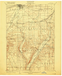
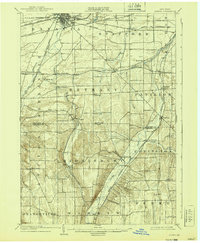
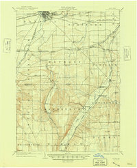
1904 Map of Batavia
USGS Topo · Published 1918About this map
Batavia serves as the dominant rail hub at the turn of the century, where the N. Y. Cent. and Hudson Riv. R. R. and Lehigh Valley R. R. converge before branching out across the Genesee and Wyoming county line. The landscape is defined by its complex drainage systems, with Tonawanda Creek flowing through the western townships and Oatka Creek carving a valley through the southeast near Wyoming.
Find a feature on this map
53 named features on this map. Tap any name to fly to it.
Don’t see what you’re looking for? This feature index may not catch every label — zoom into the map to look around manually.
Map Details
Editions of this 1904 Batavia Map
7 editions found
Other maps of this area

1897 · Albion
USGS Topo · 1:62,500

1897 · Medina
USGS Topo · 1:62,500

1899 · Brockport
USGS Topo · 1:62,500

1904 · Batavia
USGS Topo · 1:62,500

1904 · Caledonia
USGS Topo · 1:62,500

1905 · Attica
USGS Topo · 1:62,500

1905 · Portage
USGS Topo · 1:62,500

1905 · Nunda
USGS Topo · 1:62,500

1923 · Arcade
USGS Topo · 1:62,500

1925 · Arcade
USGS Topo · 1:62,500