
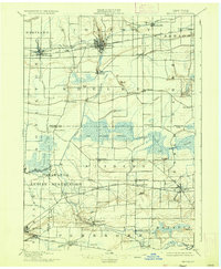
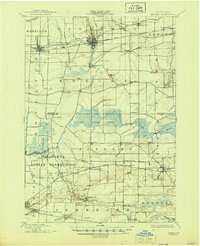
1897 Map of Medina
USGS Topo · Published 1897About this map
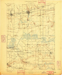
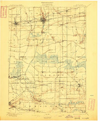
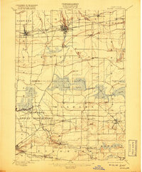
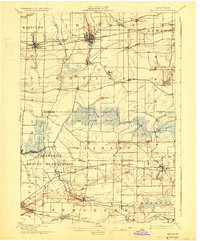
The Tonawanda Indian Reservation occupies a significant portion of this late-19th-century landscape, centered around the winding Tonawanda Creek and the settlement of Indian Falls. This area reflects a complex intersection of transportation and natural geography, where the Erie Canal cuts across the northern townships, fueling the growth of hubs like Medina and Middleport. South of the canal, the massive Oak Orchard Swamp dominates the center of the sheet, a vast wetland system through which Oak Orchard Creek flows toward the north.
Find a feature on this map
59 named features on this map. Tap any name to fly to it.
Don’t see what you’re looking for? This feature index may not catch every label — zoom into the map to look around manually.
Map Details
Editions of this 1897 Medina Map
7 editions found
Other maps of this area

1897 · Albion
USGS Topo · 1:62,500

1897 · Olcott
USGS Topo · 1:62,500

1897 · Lockport
USGS Topo · 1:62,500

1897 · Oak Orchard
USGS Topo · 1:62,500

1897 · Ridgeway
USGS Topo · 1:62,500

1899 · Niagara
USGS Topo · 1:125,000

1902 · Lockport
USGS Topo · 1:62,500

1904 · Batavia
USGS Topo · 1:62,500

1905 · Attica
USGS Topo · 1:62,500

1905 · Depew
USGS Topo · 1:62,500