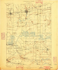
1897 Map of Medina
USGS Topo · Published 1902About this map
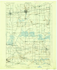
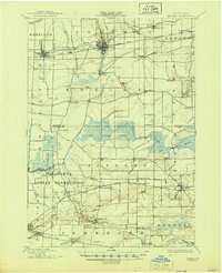
Erie Canal commerce and the industrial growth of Orleans and Genesee counties dominate this late nineteenth-century survey. The waterway serves as a central artery for several established villages, including Medina and Middleport, while the Niagara Falls Line and the New York Central and Hudson River railroads parallel its path, reflecting the era's transition from water to rail transport. The northern portion of the map is defined by the prehistoric shoreline of Ridge Road, while the southern reaches are marked by the extensive Oak Orchard Swamp and the Tonawanda Indian Reservation. Small agrarian settlements and station stops such as Shelby Basin, Knowlesville, and Oakfield are documented in detail, providing a clear record of the region's rural character before modern expansion. This survey preserves the placement of many family-named crossroads and hamlets like Wheatville, Basom, and Millville at the turn of the century.
Find a feature on this map
57 named features on this map. Tap any name to fly to it.
Don’t see what you’re looking for? This feature index may not catch every label — zoom into the map to look around manually.
Map Details
Editions of this 1897 Medina Map
7 editions found
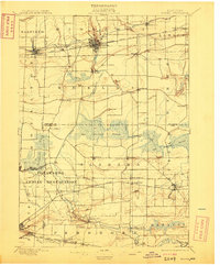
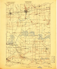
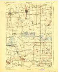
Other maps of this area

1897 · Albion
USGS Topo · 1:62,500

1897 · Olcott
USGS Topo · 1:62,500

1897 · Medina
USGS Topo · 1:62,500

1897 · Lockport
USGS Topo · 1:62,500

1897 · Oak Orchard
USGS Topo · 1:62,500

1897 · Ridgeway
USGS Topo · 1:62,500

1899 · Niagara
USGS Topo · 1:125,000

1902 · Lockport
USGS Topo · 1:62,500

1904 · Batavia
USGS Topo · 1:62,500

1905 · Attica
USGS Topo · 1:62,500