Loading...
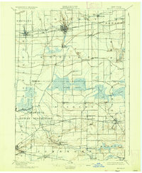
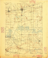
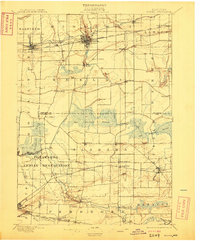
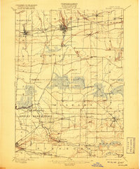
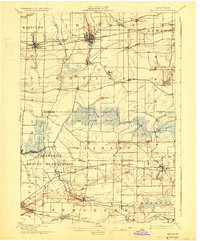
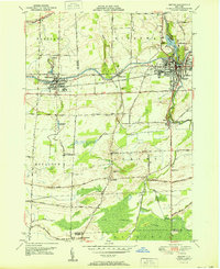
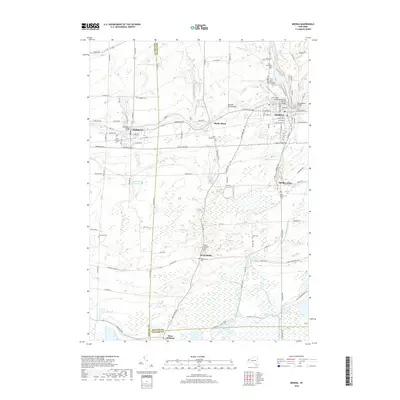
Loading map...1897 Map of Medina
USGS Topo · Published 1936About this map
The Erie Canal defines the northern corridor of this landscape, anchoring settlements like Medina and Knowlesville along its path. Just south of the canal, the New York Central and Hudson River railroad runs parallel, marking a period of intense industrial and transport competition. The central portion of the map is dominated by the sprawling Oak Orchard Swamp, a complex wetland system fed by Oak Orchard Creek and a dedicated Feeder Canal.
Find a feature on this map
57 named features on this map. Tap any name to fly to it.
Don’t see what you’re looking for? This feature index may not catch every label — zoom into the map to look around manually.
Map Details
Date Portrayed1897
Date Published1936
PublisherU.S. Geological Survey
Map TypeTopographic
Scale1:62,500
Physical Dimensions16.6 x 20.2 inches
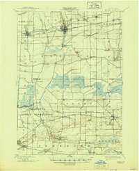
Editions of this 1897 Medina Map
7 editions found

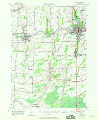
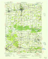
Historical Maps of Newstead Through Time
9 maps found

Featured Locations
Source Details
SourceU.S. Geological Survey
CopyrightPublic Domain