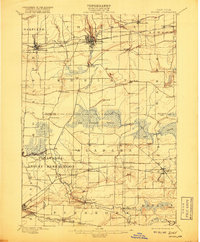
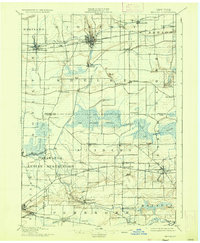
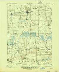
1897 Map of Medina
USGS Topo · Published 1917About this map
The Erie Canal cuts across the northern landscape, anchoring a string of commercial hubs including Middleport, Shelby Basin, and the village of Medina. This late nineteenth-century survey shows a region defined by its water infrastructure, where the Feeder Canal draws southward into the expansive Oak Orchard Swamp. To the south, the Tonawanda Indian Reservation spans the border of Genesee and Erie counties, with Tonawanda Creek winding through the terrain near the settlement of Indian Falls.
Find a feature on this map
58 named features on this map. Tap any name to fly to it.
Don’t see what you’re looking for? This feature index may not catch every label — zoom into the map to look around manually.
Map Details
Editions of this 1897 Medina Map
7 editions found
Other maps of this area

1897 · Albion
USGS Topo · 1:62,500

1897 · Olcott
USGS Topo · 1:62,500

1897 · Medina
USGS Topo · 1:62,500

1897 · Lockport
USGS Topo · 1:62,500

1897 · Oak Orchard
USGS Topo · 1:62,500

1897 · Ridgeway
USGS Topo · 1:62,500

1899 · Niagara
USGS Topo · 1:125,000

1902 · Lockport
USGS Topo · 1:62,500

1904 · Batavia
USGS Topo · 1:62,500

1905 · Attica
USGS Topo · 1:62,500