
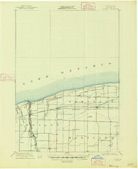
1897 Map of Olcott
USGS Topo · Published 1897About this map
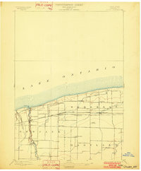
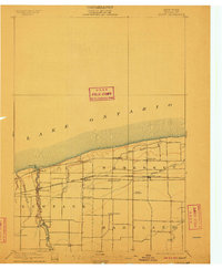
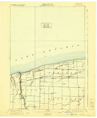
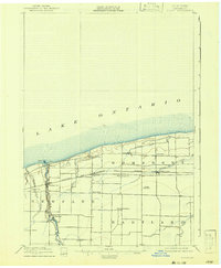
Lakeside agriculture and rail commerce define this late 19th-century landscape along the southern shore of Lake Ontario. The Olcott L.H. stands as a vital navigational beacon at the mouth of Eighteenmile Creek, where the village of Olcott serves as a northern hub. Moving inland, the map captures the organized rural development of Somerset, Newfane, and Hartland, characterized by a grid of farm roads and small crossroads settlements.
Find a feature on this map
24 named features on this map. Tap any name to fly to it.
Don’t see what you’re looking for? This feature index may not catch every label — zoom into the map to look around manually.
Map Details
Editions of this 1897 Olcott Map
6 editions found
Other maps of this area

1894 · Wilson
USGS Topo · 1:62,500

1897 · Tonawanda
USGS Topo · 1:62,500

1897 · Medina
USGS Topo · 1:62,500

1897 · Lockport
USGS Topo · 1:62,500

1897 · Ridgeway
USGS Topo · 1:62,500

1899 · Niagara
USGS Topo · 1:125,000

1900 · Wilson
USGS Topo · 1:62,500

1900 · Tonawanda
USGS Topo · 1:62,500

1901 · Tonawanda
USGS Topo · 1:62,500

1902 · Lockport
USGS Topo · 1:62,500