
1897 Map of Ridgeway
USGS Topo · Published 1897About this map
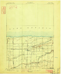
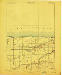
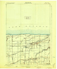
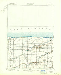
Lake Ontario borders the northern edge of this late nineteenth-century landscape, where the maritime influence meets a robust interior transportation network. The Erie Canal cuts through the southern portion of the region, anchored by the settlement of Eagle Harbor, while the Rome Watertown and Ogdensburg R. R. provides an essential rail link through villages like Lyndonville and Millers. The prominence of Ridge Road highlights an ancient geological shoreline used as a primary thoroughfare for early western New York travel.
Find a feature on this map
34 named features on this map. Tap any name to fly to it.
Don’t see what you’re looking for? This feature index may not catch every label — zoom into the map to look around manually.
Map Details
Editions of this 1897 Ridgeway Map
5 editions found
Other maps of this area

1897 · Albion
USGS Topo · 1:62,500

1897 · Olcott
USGS Topo · 1:62,500

1897 · Medina
USGS Topo · 1:62,500

1897 · Lockport
USGS Topo · 1:62,500

1897 · Oak Orchard
USGS Topo · 1:62,500

1899 · Niagara
USGS Topo · 1:125,000

1902 · Lockport
USGS Topo · 1:62,500

1905 · Lockport
USGS Topo · 1:62,500

1944 · Ashwood
USGS Topo · 1:31,680

1944 · Albion
USGS Topo · 1:31,680