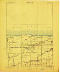
1897 Map of Ridgeway
USGS Topo · Published 1912About this map
Thirtymile Pt. L.H. stands as a sentinel on the Lake Ontario shoreline, marking the northern edge of a landscape defined by its vital late 19th-century transit corridors. The Erie Canal cuts through the southern reaches of the map at Eagle Harbor, while the Rome Watertown and Ogdensburg R. R. provides an east-west artery through central Orleans County, connecting small farm-to-market hubs like Lyndonville, Millers, and Carlyon. The interior is characterized by the deep, winding ravines of Johnson Creek and Oak Orchard Creek, which influenced the placement of early settlements and local infrastructure. Historic Ridge Road runs parallel to the canal, passing through the crossroads of Ridgeway and Jeddo, reflecting the importance of this glacial ridge for early New York travel. From the summer retreats at Lakeside Park to the milling sites at Waterport, the map captures a rural economy deeply integrated with the region's natural waterways.
Find a feature on this map
33 named features on this map. Tap any name to fly to it.
Don’t see what you’re looking for? This feature index may not catch every label — zoom into the map to look around manually.
Map Details
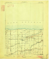
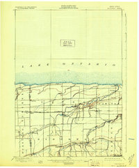
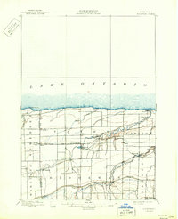
Editions of this 1897 Ridgeway Map
5 editions found
Other maps of this area

1897 · Albion
USGS Topo · 1:62,500

1897 · Olcott
USGS Topo · 1:62,500

1897 · Medina
USGS Topo · 1:62,500

1897 · Lockport
USGS Topo · 1:62,500

1897 · Oak Orchard
USGS Topo · 1:62,500

1897 · Ridgeway
USGS Topo · 1:62,500

1899 · Niagara
USGS Topo · 1:125,000

1902 · Lockport
USGS Topo · 1:62,500

1905 · Lockport
USGS Topo · 1:62,500

1944 · Ashwood
USGS Topo · 1:31,680