
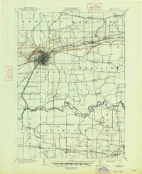
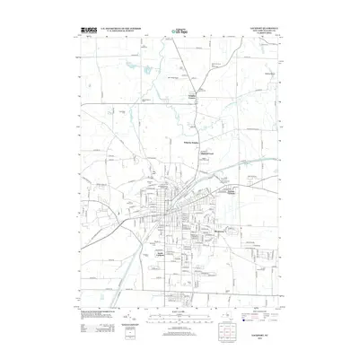
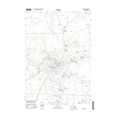
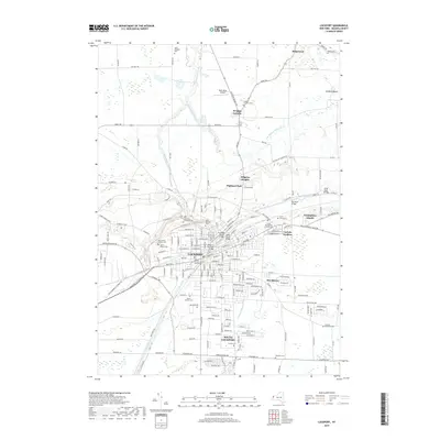
1905 Map of Lockport
USGS Topo · Published 1906About this map
Lockport serves as the central hub of this turn-of-the-century Niagara County landscape, where the Erie Canal cuts through the escarpment and flows eastward toward Reynales Basin. The map captures a critical moment in transportation history, showing the canal running parallel to the N. Y. C. and H. R. R. R. and the modern Electric R. R. line. In the southern portion of the quadrangle, the meandering path of Tonawanda Creek defines the local geography, surrounded by small crossroads settlements like Wolcottsville, Swifts Mills, and Clarence Center. North of the city, the ancient Ridge Road follows the glacial topography above Wrights Corners. This survey preserves the exact locations of rural post offices and early industrial sites, including the complex rail junctions at Akron and the transition between agricultural townships like Royalton and Pendleton.
Find a feature on this map
58 named features on this map. Tap any name to fly to it.
Don’t see what you’re looking for? This feature index may not catch every label — zoom into the map to look around manually.
Map Details
Editions of this 1905 Lockport Map
This is the sole edition of this map. No revisions or reprints were ever made.
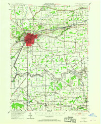
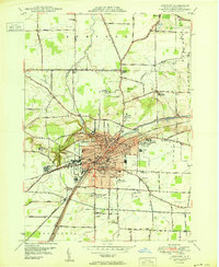
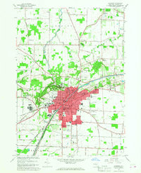
Historical Maps of Amherst Through Time
13 maps found

1897 Lockport
Niagara County, NY
1902 Lockport
Niagara County, NY
1905 Lockport
Niagara County, NY
1948 Lockport
Niagara County, NY
1950 Lockport
Niagara County, NY
1965 Lockport
Niagara County, NY
1980 Lockport
Niagara County, NY
1984 Lockport
Niagara County, NY
2010 Lockport
Niagara County, NY
2013 Lockport
Niagara County, NY
2016 Lockport
Niagara County, NY
2019 Lockport
Niagara County, NY

2023 Lockport
Niagara County, NY