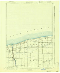
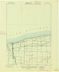
1897 Map of Olcott
USGS Topo · Published 1942About this map
Lake Ontario borders the northern edge of this Niagara County landscape, where the lakefront village of Olcott serves as a primary coastal anchor. Surveyed in the late 19th century, the map reveals a highly developed transportation network critical to the local fruit-growing and shipping economy. The Rome Watertown and Ogdensburg R.R. cuts a straight path across the townships of Somerset and Newfane, while the Electric R.R. runs parallel to Eighteenmile Creek, connecting the interior to the shore.
Find a feature on this map
24 named features on this map. Tap any name to fly to it.
Don’t see what you’re looking for? This feature index may not catch every label — zoom into the map to look around manually.
Map Details
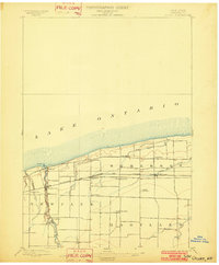
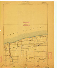
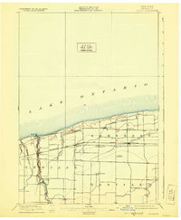
Editions of this 1897 Olcott Map
6 editions found
Other maps of this area

1894 · Wilson
USGS Topo · 1:62,500

1897 · Tonawanda
USGS Topo · 1:62,500

1897 · Olcott
USGS Topo · 1:62,500

1897 · Medina
USGS Topo · 1:62,500

1897 · Lockport
USGS Topo · 1:62,500

1897 · Ridgeway
USGS Topo · 1:62,500

1899 · Niagara
USGS Topo · 1:125,000

1900 · Wilson
USGS Topo · 1:62,500

1900 · Tonawanda
USGS Topo · 1:62,500

1901 · Tonawanda
USGS Topo · 1:62,500