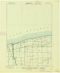
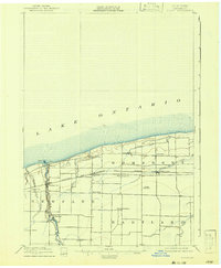
1897 Map of Olcott
USGS Topo · Published 1947About this map
Lake Ontario defines the northern reaches of this late 19th-century survey, where the Niagara County shoreline is marked by the Olcott L.H. and the mouth of Eighteenmile Creek. The landscape transition from the waterfront into the townships of Newfane, Somerset, and Hartland reveals a region deeply integrated with late-Victorian rail infrastructure. The Rome Watertown and Ogdensburg R.R. (Niagara Falls Line) cuts horizontally through the terrain, connecting rural hubs like Appleton and Barker. Parallel to the creek, an Electric R.R. runs south toward the interior, serving established settlements and transit points such as Newfane Sta. and Coomer Sta.. This detailed charting of the agricultural and coastal frontier captures the era before major 20th-century road expansion, highlighting small communities like West Somerset and Golden Hill that relied on these early rail arteries and the drainage of local waterways like Fish Creek and Johnson Creek.
Find a feature on this map
26 named features on this map. Tap any name to fly to it.
Don’t see what you’re looking for? This feature index may not catch every label — zoom into the map to look around manually.
Map Details
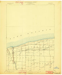
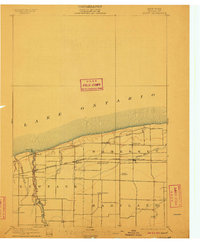
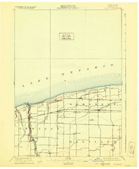
Editions of this 1897 Olcott Map
6 editions found
Other maps of this area

1894 · Wilson
USGS Topo · 1:62,500

1897 · Tonawanda
USGS Topo · 1:62,500

1897 · Olcott
USGS Topo · 1:62,500

1897 · Medina
USGS Topo · 1:62,500

1897 · Lockport
USGS Topo · 1:62,500

1897 · Ridgeway
USGS Topo · 1:62,500

1899 · Niagara
USGS Topo · 1:125,000

1900 · Wilson
USGS Topo · 1:62,500

1900 · Tonawanda
USGS Topo · 1:62,500

1901 · Tonawanda
USGS Topo · 1:62,500