
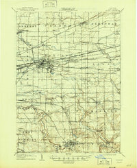
1905 Map of Depew
USGS Topo · Published 1905About this map
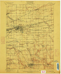
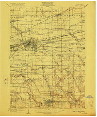
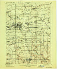
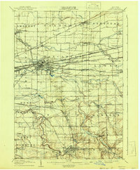
The industrial and rail nexus of eastern Erie County is anchored by the growing rail yards of Depew and the village of Lancaster. At the turn of the century, this landscape was defined by an incredible density of competing railroad lines, including the Lehigh Valley RR, the Erie RR, and the New York Central and Hudson River RR. These steel corridors carved through the drainage basins of Cayuga Creek and Ellicott Creek, connecting smaller outposts like Bowmansville, Grimesville, and the interestingly named Looneyville. To the north and east, the map reveals a more agrarian character in Clarence and Newstead, where hamlets like Williamsville and Harris Hill were established long before the suburban expansion of Buffalo reached these limits. The map preserves the specific locations of rural stations such as West Alden Sta. and Town Line Sta. that once served these farming communities.
Find a feature on this map
91 named features on this map. Tap any name to fly to it.
Don’t see what you’re looking for? This feature index may not catch every label — zoom into the map to look around manually.
Map Details
Editions of this 1905 Depew Map
6 editions found
Other maps of this area

1894 · Buffalo
USGS Topo · 1:62,500

1897 · Tonawanda
USGS Topo · 1:62,500

1897 · Medina
USGS Topo · 1:62,500

1897 · Lockport
USGS Topo · 1:62,500

1899 · Niagara
USGS Topo · 1:125,000

1900 · Tonawanda
USGS Topo · 1:62,500

1901 · Buffalo
USGS Topo · 1:62,500

1901 · Tonawanda
USGS Topo · 1:62,500

1902 · Lockport
USGS Topo · 1:62,500

1905 · Attica
USGS Topo · 1:62,500