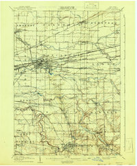
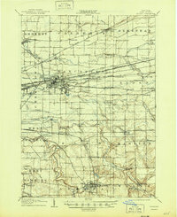
1905 Map of Depew
USGS Topo · Published 1941About this map
Depew and Lancaster serve as the industrial anchors of this Erie County landscape, where a dense network of competing railroads defines the local economy and settlement patterns. The map documents the turn-of-the-century infrastructure of the New York Central and Hudson River RR, the Lehigh Valley RR, and the Delaware Lackawanna and Western RR as they converge on these growing rail hubs. This survey provides a remarkable look at the transition from the concentrated industrial villages of the north to the more dispersed agricultural communities and creek-side settlements of the south.
Find a feature on this map
83 named features on this map. Tap any name to fly to it.
Don’t see what you’re looking for? This feature index may not catch every label — zoom into the map to look around manually.
Map Details
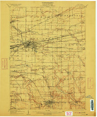
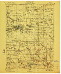
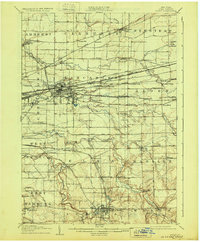
Editions of this 1905 Depew Map
6 editions found

Other maps of this area

1894 · Buffalo
USGS Topo · 1:62,500

1897 · Tonawanda
USGS Topo · 1:62,500

1897 · Medina
USGS Topo · 1:62,500

1897 · Lockport
USGS Topo · 1:62,500

1899 · Niagara
USGS Topo · 1:125,000

1900 · Tonawanda
USGS Topo · 1:62,500

1901 · Buffalo
USGS Topo · 1:62,500

1901 · Tonawanda
USGS Topo · 1:62,500

1902 · Lockport
USGS Topo · 1:62,500

1905 · Attica
USGS Topo · 1:62,500