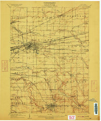
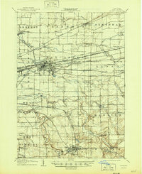
1905 Map of Depew
USGS Topo · Published 1912About this map
Depew and the surrounding Erie County townships emerge as a dense nexus of industrial transportation at the beginning of the twentieth century. The landscape is defined by the extraordinary concentration of major rail lines, including the Lehigh Valley R R, Erie R R, and the New York Central and Hudson River R R, which converge as they approach Buffalo. These corridors created a unique pattern of rail-dependent hamlets such as Looneyville Sta, Pavement, and Grimesville.
Find a feature on this map
85 named features on this map. Tap any name to fly to it.
Don’t see what you’re looking for? This feature index may not catch every label — zoom into the map to look around manually.
Map Details
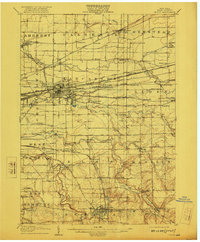
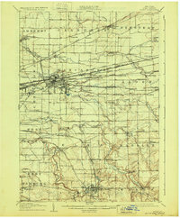
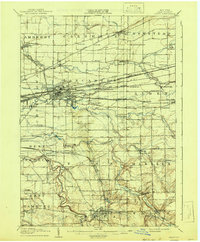
Editions of this 1905 Depew Map
6 editions found

Other maps of this area

1894 · Buffalo
USGS Topo · 1:62,500

1897 · Tonawanda
USGS Topo · 1:62,500

1897 · Medina
USGS Topo · 1:62,500

1897 · Lockport
USGS Topo · 1:62,500

1899 · Niagara
USGS Topo · 1:125,000

1900 · Tonawanda
USGS Topo · 1:62,500

1901 · Buffalo
USGS Topo · 1:62,500

1901 · Tonawanda
USGS Topo · 1:62,500

1902 · Lockport
USGS Topo · 1:62,500

1905 · Attica
USGS Topo · 1:62,500