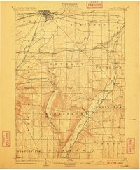
1904 Map of Batavia
USGS Topo · Published 1910About this map
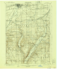
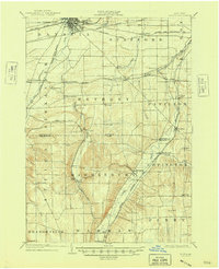
Batavia serves as the focal point for this early 20th-century landscape, which is defined by a sophisticated web of late-nineteenth-century rail infrastructure. Several major lines, including the Lehigh Valley and the N. Y. Cent. and Hudson Riv. R. R., converge at the northern rail hub, reflecting the region's importance as a transit corridor between Buffalo and Rochester. The terrain is deeply inscribed by the winding paths of Tonawanda Creek and Oatka Creek, which shaped the placement of rural settlements like Linden and Wyoming. Smaller hamlets such as East Alexander, Roanoke, and Pearl Creek are shown at their peak of late-Victorian development, often centered around railroad junctions or creek crossings. The map reveals the transition from the flatlands of Genesee County into the more prominent elevations of Wyoming County near Burk Hill, capturing the agricultural and industrial layout before modern highway expansion.
Find a feature on this map
52 named features on this map. Tap any name to fly to it.
Don’t see what you’re looking for? This feature index may not catch every label — zoom into the map to look around manually.
Map Details
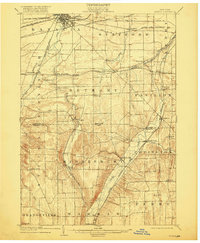
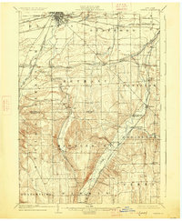
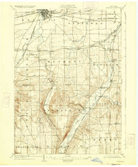
Editions of this 1904 Batavia Map
7 editions found
Other maps of this area

1897 · Albion
USGS Topo · 1:62,500

1897 · Medina
USGS Topo · 1:62,500

1899 · Brockport
USGS Topo · 1:62,500

1904 · Batavia
USGS Topo · 1:62,500

1904 · Caledonia
USGS Topo · 1:62,500

1905 · Attica
USGS Topo · 1:62,500

1905 · Portage
USGS Topo · 1:62,500

1905 · Nunda
USGS Topo · 1:62,500

1923 · Arcade
USGS Topo · 1:62,500

1925 · Arcade
USGS Topo · 1:62,500