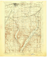
1904 Map of Batavia
USGS Topo · Published 1927About this map
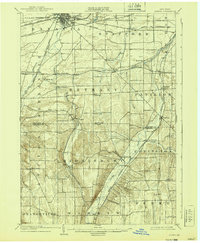
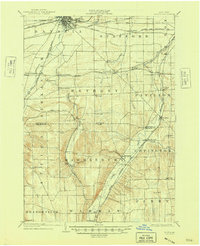
Batavia serves as the industrial and transit hub of this early twentieth-century landscape, where a dense network of competing rail lines converges. The New York Central R R and Lehigh Valley R R corridors dominate the northern plains, while the southern terrain transitions into the more dissected topography of Middlebury and Covington. The survey captures a time when small rural settlements like Linden and Dale were vital stops along the Erie R R, and Pavilion thrived at the junction of the Buffalo Rochester and Pittsburgh R R. Of particular interest to local historians is the County Farm located north of Linden, a specific marker of the era's social infrastructure. The course of Tonawanda Creek and Oatka Creek dictates the placement of roads and rails through the valleys, providing a clear view of the settlement patterns established before modern highway development changed the county's character.
Find a feature on this map
48 named features on this map. Tap any name to fly to it.
Don’t see what you’re looking for? This feature index may not catch every label — zoom into the map to look around manually.
Map Details
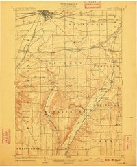
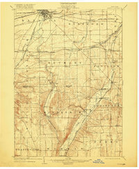
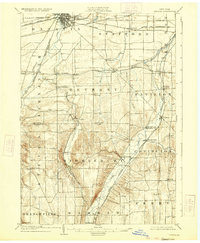
Editions of this 1904 Batavia Map
7 editions found
Other maps of this area

1897 · Albion
USGS Topo · 1:62,500

1897 · Medina
USGS Topo · 1:62,500

1899 · Brockport
USGS Topo · 1:62,500

1904 · Batavia
USGS Topo · 1:62,500

1904 · Caledonia
USGS Topo · 1:62,500

1905 · Attica
USGS Topo · 1:62,500

1905 · Portage
USGS Topo · 1:62,500

1905 · Nunda
USGS Topo · 1:62,500

1923 · Arcade
USGS Topo · 1:62,500

1925 · Arcade
USGS Topo · 1:62,500