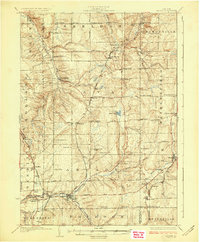
1925 Map of Arcade
USGS Topo · Published 1925About this map
Cattaraugus Creek carves through the southern landscape of this 1920s survey, anchoring a network of small dairy-era settlements and rail junctions. The Arcade and Attica railroad connects the valley floor at Arcade, while the Pennsylvania line runs north through Chaffee and Java Center. This period shows the transition from isolated rural townships like Sheldon and Java toward a more integrated regional economy, evidenced by the numerous district schools, such as School No 1 and School No 13, which served the family farms of Wyoming County.
Find a feature on this map
85 named features on this map. Tap any name to fly to it.
Don’t see what you’re looking for? This feature index may not catch every label — zoom into the map to look around manually.
Map Details
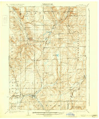
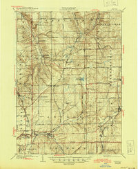
Editions of this 1925 Arcade Map
4 editions found
Other maps of this area

1904 · Batavia
USGS Topo · 1:62,500

1905 · Attica
USGS Topo · 1:62,500

1905 · Portage
USGS Topo · 1:62,500

1905 · Depew
USGS Topo · 1:62,500

1906 · Angelica
USGS Topo · 1:62,500

1923 · Arcade
USGS Topo · 1:62,500

1924 · Ellicottville
USGS Topo · 1:62,500

1924 · Franklinville
USGS Topo · 1:62,500

1925 · Springville
USGS Topo · 1:62,500

1925 · Arcade
USGS Topo · 1:62,500