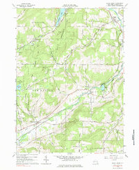
1964 Map of Black Creek
USGS Topo · Published 1985About this map
Oramel and Belfast sit along the eastern edge of this landscape, where the Genesee River carves a wide valley. Parallel to the river, the path of the Genesee Valley Canal and the Erie-Lackawanna Railroad highlight the historical importance of this corridor for regional transit and trade. The interior of the quadrangle is defined by steep, wooded terrain and conservation efforts, including the State Reforestation Area and the Hanging Bog G M A. Smaller settlements like Black Creek and Rockville are situated at critical junctions of the local creek system, which includes the namesake Black Creek and Caneadea Creek. Evidence of local industry and rural life appears through several Gravel Pits and family-named cemeteries such as Bellville Cem and Marshall Cem, providing concrete data points for genealogists tracking early Allegany County families.
Find a feature on this map
50 named features on this map. Tap any name to fly to it.
Don’t see what you’re looking for? This feature index may not catch every label — zoom into the map to look around manually.
Map Details
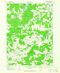
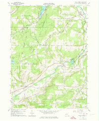
Editions of this 1964 Black Creek Map
Other maps of this area

1898 · Olean
USGS Topo · 1:62,500

1906 · Angelica
USGS Topo · 1:62,500

1924 · Franklinville
USGS Topo · 1:62,500

1925 · Belmont
USGS Topo · 1:62,500

1938 · Olean
USGS Topo · 1:62,500

1939 · Belmont
USGS Topo · 1:62,500

1941 · Angelica
USGS Topo · 1:62,500

1942 · Franklinville
USGS Topo · 1:62,500

1943 · Olean
USGS Topo · 1:62,500

1960 · Buffalo
USGS Topo · 1:250,000