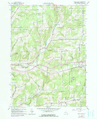
1964 Map of West Almond
USGS Topo · Published 1978About this map
Bennetts and West Almond anchor this mid-1960s survey of the Allegany County landscape, where the Erie RR cuts through the valley floor. The map highlights a region shaped by large tracts of State Reforestation Area, indicating a transition from earlier intensive farming back to managed forest. Local industry and infrastructure are noted through the presence of several Gravel Pits, a Drill Hole, and a prominent Lookout Tower atop Jersey Hill. A specific social landmark, the County Home, sits west of Angelica Creek, while the landscape is dissected by numerous family-named routes such as Terwilliger Road and Mulligan Rd. The hydrology is defined by the convergence of Black Creek and Phillips Creek, creating a network of valleys that dictated the placement of settlements like Scholes.
Find a feature on this map
65 named features on this map. Tap any name to fly to it.
Don’t see what you’re looking for? This feature index may not catch every label — zoom into the map to look around manually.
Map Details
Editions of this 1964 West Almond Map
2 editions found
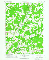
Other maps of this area

1906 · Angelica
USGS Topo · 1:62,500

1916 · Canaseraga
USGS Topo · 1:62,500

1925 · Belmont
USGS Topo · 1:62,500

1926 · Wellsville
USGS Topo · 1:62,500

1939 · Belmont
USGS Topo · 1:62,500

1940 · Canaseraga
USGS Topo · 1:62,500

1941 · Angelica
USGS Topo · 1:62,500

1950 · Elmira
USGS Topo · 1:250,000

1958 · Elmira
USGS Topo · 1:250,000

1960 · Buffalo
USGS Topo · 1:250,000