
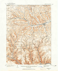
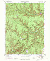
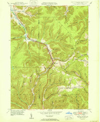
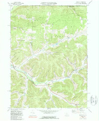
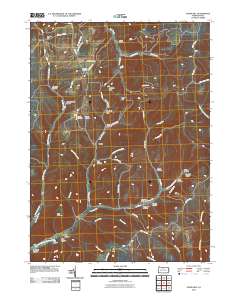
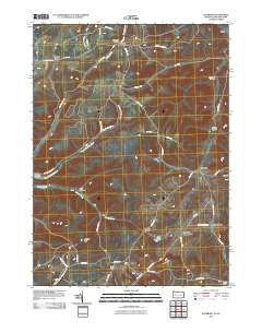
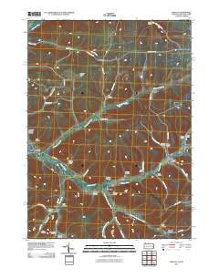
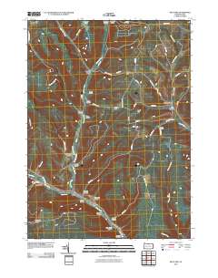
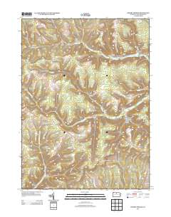
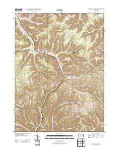
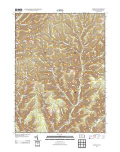
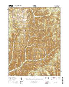
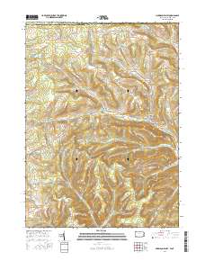
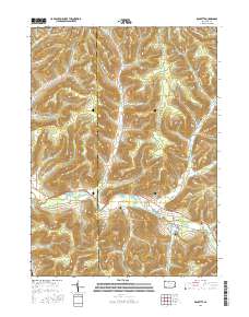
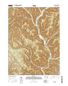
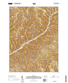
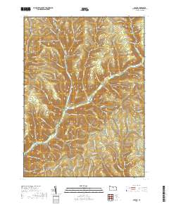
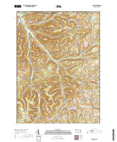
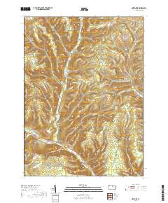
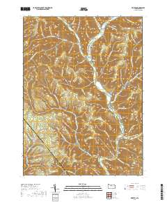
1932 Map of Genesee
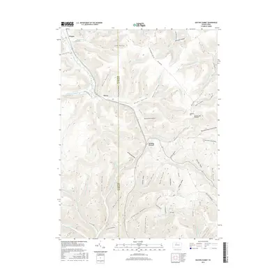
USGS Topo · Published 1961About this map
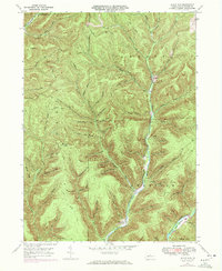
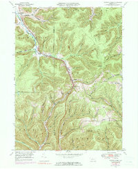
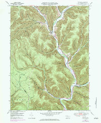
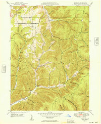
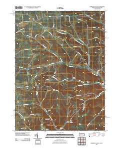
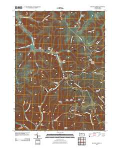
The Allegheny River and Genesee River both find their headwaters in this corner of Pennsylvania, creating a complex landscape of narrow valleys and high ridges. In the early 1930s, this area remained defined by small agricultural hamlets and a declining timber-era rail network. The New York Central and Hudson River RR and Pennsylvania RR traverse the terrain alongside the Abandoned Central RR, illustrating the shifting industrial priorities of the time. Settlement patterns are dense with genealogy-rich locations such as Andrews Settlement and Irish Settlement, while local infrastructure is marked by numerous rural schoolhouses like Woodville Sch and Jackson Sch. A unique geological curiosity, the Ice Mine, sits near Lymansville, highlighting the distinctive natural features found along the Coudersport and Wellsboro Highway.
Find a feature on this map
68 named features on this map. Tap any name to fly to it.
Don’t see what you’re looking for? This feature index may not catch every label — zoom into the map to look around manually.
Map Details
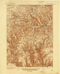
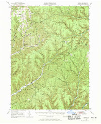
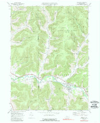
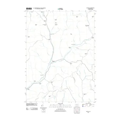
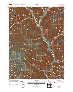
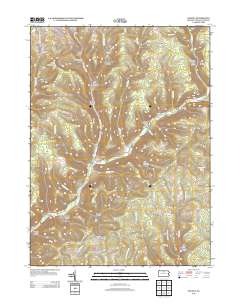
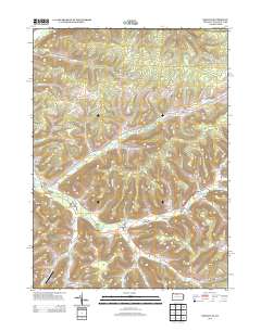
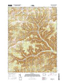
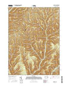
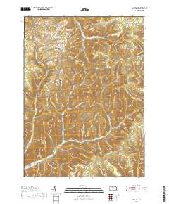
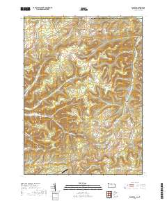
Editions of this 1932 Genesee Map
This is the sole edition of this map. No revisions or reprints were ever made.
Historical Maps of Willing Through Time
101 maps found
1899 Gaines
Potter County, PA
1900 Gaines
Potter County, PA
1932 Genesee
Potter County, PA
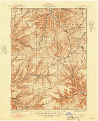
1937 Genesee
Potter County, PA
1947 Ayers Hill
Potter County, PA
1947 Cherry Springs
Potter County, PA
1947 Conrad
Potter County, PA
1947 Conrad
Potter County, PA
1947 Oleona
Potter County, PA
1947 Short Run
Potter County, PA
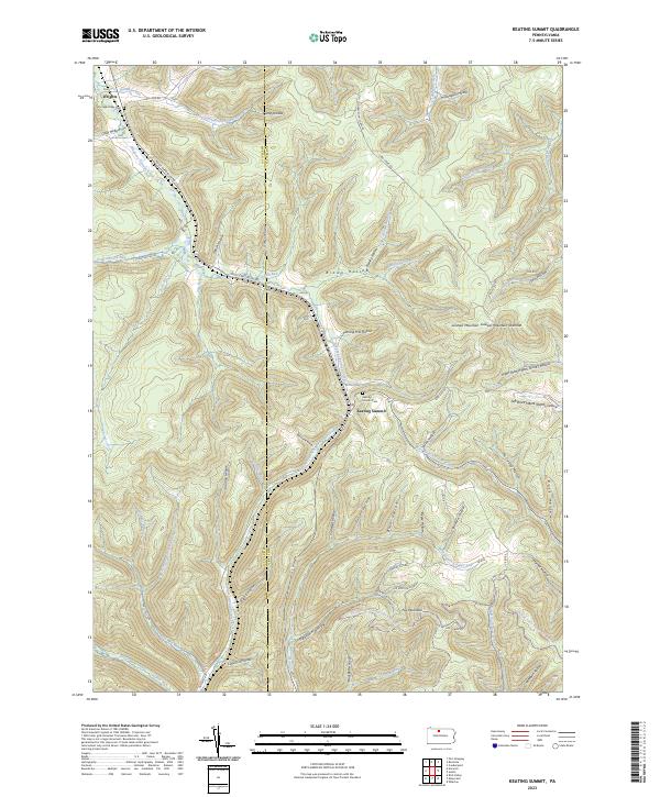
1948 Keating Summit
Potter County, PA
1948 Wharton
Potter County, PA
1949 Ayers Hill
Potter County, PA

1949 Cherry Springs
Potter County, PA

1949 Short Run
Potter County, PA

1950 Conrad
Potter County, PA
1950 Keating Summit
Potter County, PA

1950 Oleona
Potter County, PA

1950 Wharton
Potter County, PA
1957 Harrison Valley
Potter County, PA
1969 Brookland
Potter County, PA
1969 Ellisburg
Potter County, PA
1969 Oswayo
Potter County, PA
1969 Roulette
Potter County, PA
1969 Ulysses
Potter County, PA
1969 West Pike
Potter County, PA

1971 Short Run
Potter County, PA

1994 Cherry Springs
Potter County, PA

1994 Conrad
Potter County, PA

1994 Wharton
Potter County, PA

1995 Oleona
Potter County, PA
2010 Ayers Hill
Potter County, PA
2010 Brookland
Potter County, PA
2010 Cherry Springs
Potter County, PA
2010 Conrad
Potter County, PA
2010 Ellisburg
Potter County, PA
2010 Harrison Valley
Potter County, PA
2010 Keating Summit
Potter County, PA
2010 Oleona
Potter County, PA
2010 Oswayo
Potter County, PA
2010 Roulette
Potter County, PA
2010 Short Run
Potter County, PA
2010 Ulysses
Potter County, PA
2010 West Pike
Potter County, PA
2010 Wharton
Potter County, PA
2013 Ayers Hill
Potter County, PA
2013 Brookland
Potter County, PA
2013 Cherry Springs
Potter County, PA
2013 Conrad
Potter County, PA
2013 Ellisburg
Potter County, PA
2013 Harrison Valley
Potter County, PA
2013 Keating Summit
Potter County, PA
2013 Oleona
Potter County, PA
2013 Oswayo
Potter County, PA
2013 Roulette
Potter County, PA
2013 Short Run
Potter County, PA
2013 Ulysses
Potter County, PA
2013 West Pike
Potter County, PA
2013 Wharton
Potter County, PA
2016 Ayers Hill
Potter County, PA
2016 Brookland
Potter County, PA

2016 Cherry Springs
Potter County, PA
2016 Conrad
Potter County, PA
2016 Ellisburg
Potter County, PA
2016 Harrison Valley
Potter County, PA
2016 Keating Summit
Potter County, PA
2016 Oleona
Potter County, PA
2016 Oswayo
Potter County, PA
2016 Roulette
Potter County, PA
2016 Short Run
Potter County, PA
2016 Ulysses
Potter County, PA
2016 West Pike
Potter County, PA
2016 Wharton
Potter County, PA
2019 Ayers Hill
Potter County, PA
2019 Brookland
Potter County, PA
2019 Cherry Springs
Potter County, PA
2019 Conrad
Potter County, PA
2019 Ellisburg
Potter County, PA
2019 Harrison Valley
Potter County, PA
2019 Keating Summit
Potter County, PA
2019 Oleona
Potter County, PA
2019 Oswayo
Potter County, PA
2019 Roulette
Potter County, PA
2019 Short Run
Potter County, PA
2019 Ulysses
Potter County, PA
2019 West Pike
Potter County, PA
2019 Wharton
Potter County, PA

2023 Ayers Hill
Potter County, PA

2023 Brookland
Potter County, PA

2023 Cherry Springs
Potter County, PA

2023 Conrad
Potter County, PA

2023 Ellisburg
Potter County, PA

2023 Harrison Valley
Potter County, PA
2023 Keating Summit
Potter County, PA
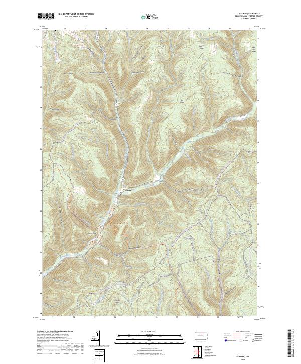
2023 Oleona
Potter County, PA
2023 Oswayo
Potter County, PA
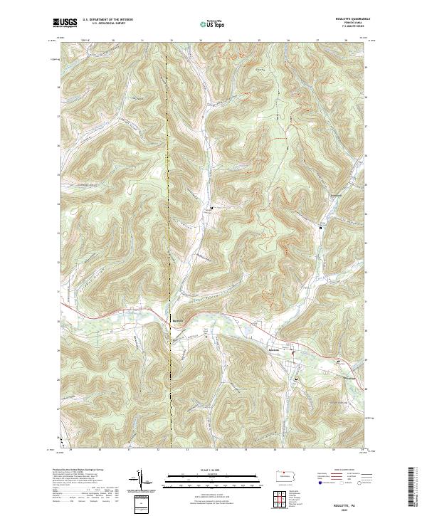
2023 Roulette
Potter County, PA

2023 Short Run
Potter County, PA

2023 Ulysses
Potter County, PA

2023 West Pike
Potter County, PA

2023 Wharton
Potter County, PA