
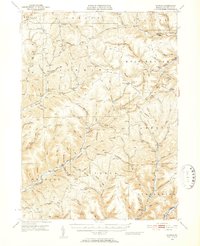
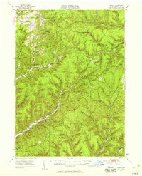
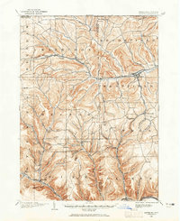
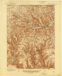
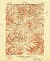
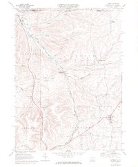
1947 Map of Conrad
USGS Topo · Published 1952About this map
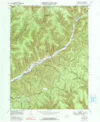
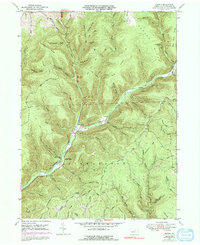
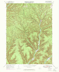
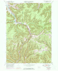
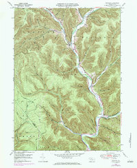
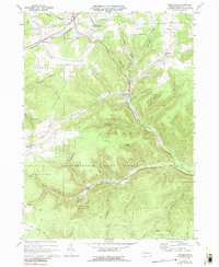
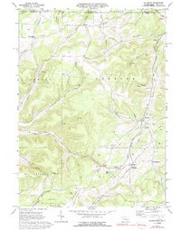
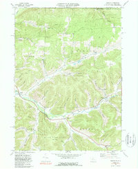
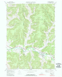
The Coudersport Pike and Jersey Shore Turnpike intersect in this mid-century survey of Potter County, tracing the high ridges of the Pennsylvania Wilds. This landscape is defined by the deep dissection of the Allegheny Plateau, where the First Fork Sinnemahoning Creek and East Fork Sinnemahoning Creek carve through steep-walled hollows. The settlement pattern is sparse, with small communities like Conrad and Borie serving as anchor points for rural life.
Find a feature on this map
120 named features on this map. Tap any name to fly to it.
Don’t see what you’re looking for? This feature index may not catch every label — zoom into the map to look around manually.
Map Details
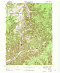
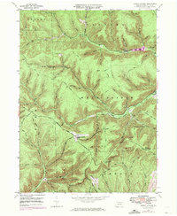
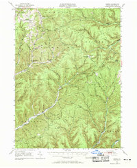
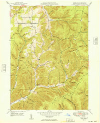
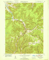
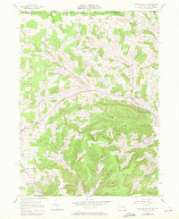
Editions of this 1947 Conrad Map
4 editions found
Historical Maps of Sweden Township Through Time
45 maps found
1899 Gaines
Potter County, PA
1900 Gaines
Potter County, PA

1932 Genesee
Potter County, PA
1937 Genesee
Potter County, PA
1947 Ayers Hill
Potter County, PA
1947 Cherry Springs
Potter County, PA
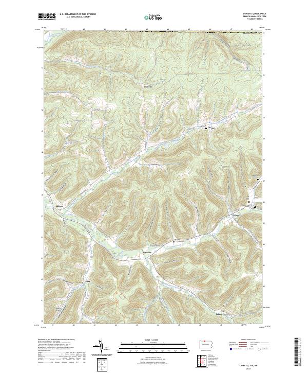
1947 Conrad
Potter County, PA
1947 Conrad
Potter County, PA
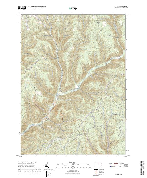
1947 Oleona
Potter County, PA
1947 Short Run
Potter County, PA
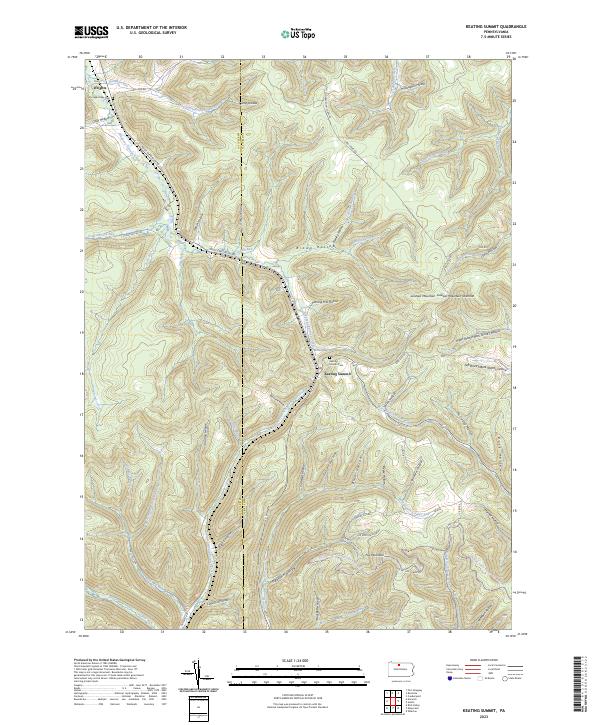
1948 Keating Summit
Potter County, PA
1948 Wharton
Potter County, PA
1949 Ayers Hill
Potter County, PA

1949 Cherry Springs
Potter County, PA

1949 Short Run
Potter County, PA

1950 Conrad
Potter County, PA
1950 Keating Summit
Potter County, PA

1950 Oleona
Potter County, PA

1950 Wharton
Potter County, PA
1957 Harrison Valley
Potter County, PA
1969 Brookland
Potter County, PA
1969 Ellisburg
Potter County, PA
1969 Oswayo
Potter County, PA
1969 Roulette
Potter County, PA
1969 Ulysses
Potter County, PA
1969 West Pike
Potter County, PA

1971 Short Run
Potter County, PA

1994 Cherry Springs
Potter County, PA

1994 Conrad
Potter County, PA

1994 Wharton
Potter County, PA

1995 Oleona
Potter County, PA

2023 Ayers Hill
Potter County, PA

2023 Brookland
Potter County, PA

2023 Cherry Springs
Potter County, PA

2023 Conrad
Potter County, PA

2023 Ellisburg
Potter County, PA

2023 Harrison Valley
Potter County, PA
2023 Keating Summit
Potter County, PA
2023 Oleona
Potter County, PA
2023 Oswayo
Potter County, PA
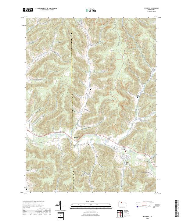
2023 Roulette
Potter County, PA

2023 Short Run
Potter County, PA

2023 Ulysses
Potter County, PA

2023 West Pike
Potter County, PA

2023 Wharton
Potter County, PA
Featured Locations
- Abbott Township, PA
- Sweden Township, PA
- West Branch Township, PA
- Wharton Township, PA
- Borie, Summit Township