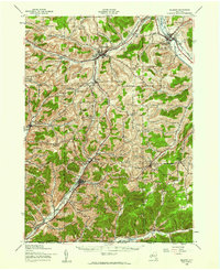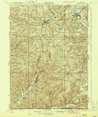
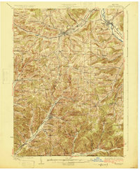
1925 Map of Belmont
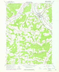
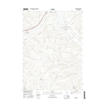
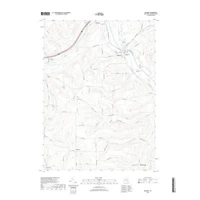
USGS Topo · Published 1943About this map
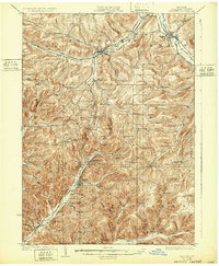
Belmont and the surrounding Allegany County hills represent a landscape defined by deep valleys and the transition from early rail dominance to the emergence of modern highways. The Genesee River cuts through the northeast, where the Erie RR and Liberty Highway converge at Belvidere, illustrating the region's historical role as a transportation corridor. Further south, the map reveals a high density of rural infrastructure, including numerous one-room schoolhouses like Corbin Hill School and Moulton School that served isolated upland farming communities. The southern reaches near Bolivar and Petrolia reflect the area's industrial heritage, as the Shawmut RR snakes through narrow valleys such as Coon Hollow and Wisen Hollow, following the topography to connect small settlements and resource extraction points along the New York Pennsylvania Boundary Line.
Find a feature on this map
105 named features on this map. Tap any name to fly to it.
Don’t see what you’re looking for? This feature index may not catch every label — zoom into the map to look around manually.
Map Details
Editions of this 1925 Belmont Map
4 editions found

Historical Maps of Wellsville Through Time
8 maps found