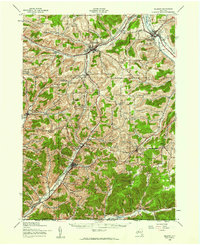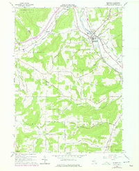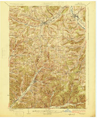
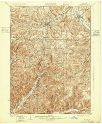
1925 Map of Belmont
USGS Topo · Published 1925About this map
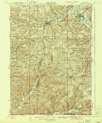
The Genesee River valley and the surrounding hills of Allegany County dominate this mid-1920s landscape, revealing a dense network of early 20th-century transportation and rural education. The northern reaches are anchored by Belmont and Belvidere, where the Erie R R follows the river's path, while the southern terrain is defined by the Shawmut R R and the Electric R R threading through Bolivar and Little Genesee. This period shows a region deeply organized around small-scale districts, evidenced by the numerous named schoolhouses such as Moulton School, Pink School, and Carnahan School that dot the hollows and hillsides.
Find a feature on this map
91 named features on this map. Tap any name to fly to it.
Don’t see what you’re looking for? This feature index may not catch every label — zoom into the map to look around manually.
Map Details
Editions of this 1925 Belmont Map
4 editions found

Historical Maps of Wellsville Through Time
8 maps found