Old Maps of Dayton, New York for Metal Detecting
Plan your next treasure hunt with 35 historic maps of Dayton. Find old homesites, ghost towns, trails, and gathering spots that may be lost to time — perfect for identifying promising metal detecting locations.
- Locate forgotten sites: Uncover places like long-lost settlements, abandoned rail lines, or gathering spots.
- Plan better hunts: Use map overlays combined with LiDAR or satellite views to narrow in on historically rich areas.
- Made for detectorists: Thousands of hobbyists use these maps to discover relics, coins, and hidden history.
Use these historic maps to boost your research and find new opportunities beneath the surface of Dayton.
Dayton, NY maps
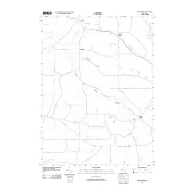
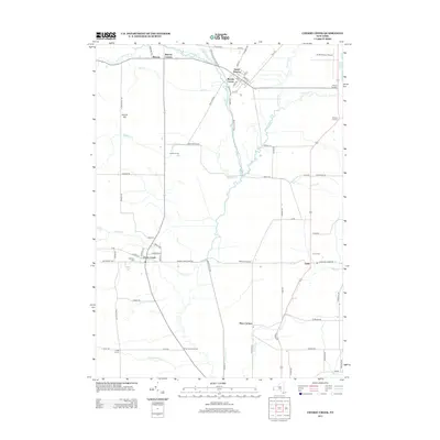
(35)- 1900 Map of Cherry Creek
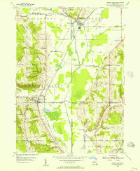
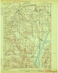 1900 Cherry Creek1900 Print · USGSWestern New York near the turn of the century shows a landscape of developing rail hubs and managed wetlands. Genealogists can trace family roots through settlements like Forestville, South Dayton, and Leon, or locate vanished stations like Smiths Mills Sta. and the rural crossroads at Charlotte Center.6 unique versions available
 - 1923 Map of Cattaraugus
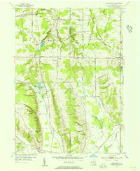
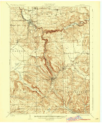 1923 Cattaraugus1923 Print · USGSWestern New York's rugged hill country is captured here during the early twenties, showing a landscape defined by deep creek valleys and a dense network of country schools. Genealogists can trace family locations near landmarks like the State Asylum, Judd Corners, or the dozens of rural schoolhouses such as Rosenburg School.4 unique versions available
 - 1938 Map of Cattaraugus
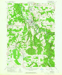
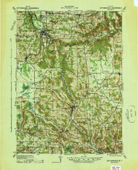 1938 Cattaraugus1938 Print · USGSWestern New York in the late thirties is captured here during a transition to modern mapping, anchored by the Erie railroad and the Cattaraugus Indian Reservation. Researchers can trace dozens of local landmarks like the State Asylum, Zoar Bridge, and the Poverty Hill School.
 - 1941 Map of Cattaraugus
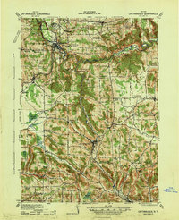 1941 Cattaraugus1941 Print · USGSWestern New York’s rural townships are captured here just before the mid-century, from the Cattaraugus Indian Reservation to the valley of Little Valley. Genealogists can trace dozens of early schoolhouses and local hamlets like Bagdad, Eddyville, and Five Points.
 - 1941 Map of Cherry Creek
 1941 Cherry Creek1941 Print · USGSChautauqua and Cattaraugus counties are captured here at the dawn of the 1940s, when the Erie railroad still bound these rural townships together. Genealogists can trace family footprints through numerous small villages like Forestville, South Dayton, and Charlotte Center.
 - 1954 Map of Cherry Creek, 1956 Print
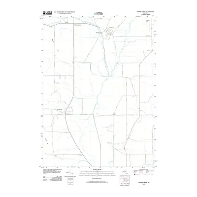
 1954 Cherry Creek1956 Print · USGSMid-century Chautauqua and Cattaraugus Counties are captured here just as the rural school system and railroad economy were consolidating. Researchers can locate family landmarks at Kings School Corner, trace the Erie RR through South Dayton, or find the Union Cem near Leon.3 unique versions available
 - 1954 Map of Perrysburg, 1956 Print
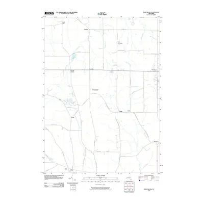
 1954 Perrysburg1956 Print · USGSChautauqua County in the mid-fifties is seen here through its network of small hamlets and the critical Erie RR line. Genealogists can trace family names through landmarks like Wrights Corners, Villenova Cem, and School No 1.4 unique versions available
 - 1960 Map of Buffalo
 1960 Buffalo1960 Print · USGSWestern New York and the Niagara Peninsula thrive during the mid-twentieth century industrial peak. Genealogists and historians can trace family-named points and early settlements from Dunkirk Light to the Allegany Indian Reservation.
 - 1962 Map of Buffalo, 1980 Print
 1962 Buffalo1980 Print · USGSThe Niagara Frontier and Western New York are captured here in the early sixties, showing the vital industrial and maritime nexus between the U.S. and Canada. Researchers can trace the path of the Welland Canal, locate the Allegany Indian Reservation, or find family sites near Chautauqua Lake.2 unique versions available
 - 1963 Map of Gowanda, 1964 Print
 1963 Gowanda1964 Print · USGSThe Erie and Cattaraugus county line comes alive in the early 1960s, showing the bustling village of Gowanda and the Erie-Lackawanna rail corridor. Trace family roots at Pine Grove Cem, the Pine Woods Ch, and the Gowanda State Hospital grounds.2 unique versions available
 - 1963 Map of New Albion, 1964 Print
 1963 New Albion1964 Print · USGSCattaraugus County in the early sixties is shown here as a landscape of crossroads hamlets and highland hollows. Trace family roots and local history through New Albion, the Erie-Lackawanna RR, and sites like Tug Hill Cem.2 unique versions available
 - 1967 Map of Buffalo
 1967 Buffalo1967 Print · USGSWestern New York and the Lake Erie shoreline are shown here during the mid-1960s industrial peak. Researchers can trace the massive rail networks of the Erie Railroad, locate the Cattaraugus Indian Reservation, or find historic sites like Fort Erie.
 - 1973 Map of Buffalo
 1973 Buffalo1973 Print · USGSWestern New York and Ontario's Golden Horseshoe meet in the early seventies, spanning from the industrial waterfronts of Buffalo to the hills of Allegany State Park. Trace the paths of the Welland Canal and Erie Lackawanna railroad through the lakefront towns of Dunkirk and Port Colborne.
 - 1986 Map of Olean
 1986 Olean1986 Print · USGSThe Southern Tier and northern Pennsylvania border are captured here in the mid-1980s as the regional rail and river economy evolved. Genealogists and local historians can trace family-named sites across the Allegany Indian Reservation, identify old Oil Field tracts, or locate landmarks like St Bonaventure University and the Tannery.2 unique versions available
 - 1986 Map of Jamestown
 1986 Jamestown1986 Print · USGSChautauqua County and the Lake Erie shoreline are captured in the mid-eighties as the region balanced its industrial rail hubs with lakeside culture. Local historians can trace the grounds of the Chautauqua Institution, the expansion of Jamestown, and rural landmarks like Sunset Hill Cemetery.2 unique versions available
 - 2010 Map of Gowanda, 2010 Print
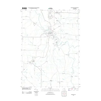
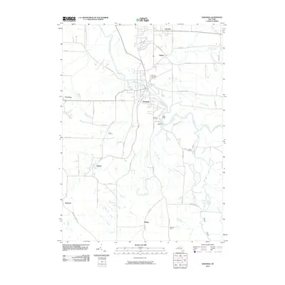 2010 Gowanda2010 Print · USGSCovers Dayton, including Collins, Gowanda, and other nearby areas
 - 2010 Map of New Albion, 2010 Print
 2010 New Albion2010 Print · USGSCovers Dayton, including Persia, New Albion, and other nearby areas
 - 2010 Map of Cherry Creek, 2010 Print
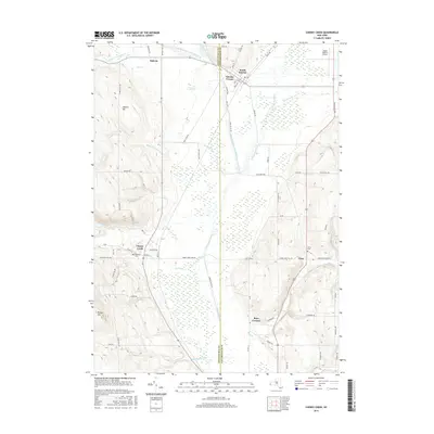
 2010 Cherry Creek2010 Print · USGSCovers Dayton, including Conewango, Ellington, and other nearby areas
 - 2010 Map of Perrysburg, 2010 Print
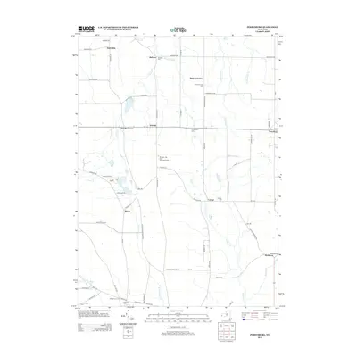
 2010 Perrysburg2010 Print · USGSCovers Dayton, including Hanover, Perrysburg, and other nearby areas
 - 2013 Map of Perrysburg, 2013 Print
 2013 Perrysburg2013 Print · USGSCovers Dayton, including Hanover, Perrysburg, and other nearby areas
 - 2013 Map of Cherry Creek, 2013 Print
 2013 Cherry Creek2013 Print · USGSCovers Dayton, including Conewango, Ellington, and other nearby areas
 - 2013 Map of New Albion, 2013 Print
 2013 New Albion2013 Print · USGSCovers Dayton, including Persia, New Albion, and other nearby areas
 - 2013 Map of Gowanda, 2013 Print
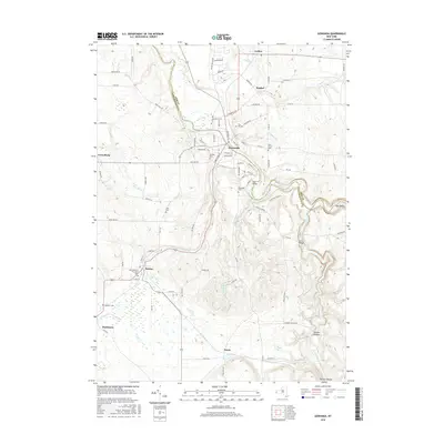
 2013 Gowanda2013 Print · USGSCovers Dayton, including Collins, Gowanda, and other nearby areas
 - 2016 Map of Cherry Creek, 2016 Print
 2016 Cherry Creek2016 Print · USGSCovers Dayton, including Conewango, Ellington, and other nearby areas
 - 2016 Map of Gowanda, 2016 Print
 2016 Gowanda2016 Print · USGSCovers Dayton, including Collins, Gowanda, and other nearby areas
Showing maps 1-25 of 35
Top cities near Dayton
- Evans historical maps
- Ellicott historical maps
- Concord historical maps
- Boston historical maps
- Eden historical maps
- Hanover historical maps
See more
Top neighborhoods of Dayton
- East Leon historical maps
- Wesley historical maps
- Markhams historical maps
- Cottage historical maps
- South Dayton historical maps
Frequently asked questions
- What are the different types of historical maps available for Dayton?
- What is the oldest map of Dayton?
- Where can I purchase historical maps of Dayton for my home or office?
- Where can I download high-res historical maps of Dayton?
- Are there historical topographic maps available for Dayton?
- Is there historical aerial imagery available for Dayton?
- Where are historical maps of Dayton sourced from?