2000s (21st Century) Maps of Franklinville, New York
Explore 10 historic maps of Franklinville from the 2000s (21st Century). These maps offer a rare glimpse into what life looked like during the 2000s — showing old roads, neighborhoods, homes, and landmarks that have changed or disappeared over time.
Whether you're researching your family's past, planning a metal detecting trip, or studying how Franklinville's landscape evolved across the 2000s, these high-resolution maps are a powerful tool for exploring the history of this region.
- Focus on a specific era: All maps on this page are from the 2000s, giving you a focused view of this time period.
- See what’s changed: Compare century-old streets, trails, and buildings to today's modern landscape using overlays and satellite layers.
- Research with precision: Use these maps for genealogy, historical research, land use analysis, or educational projects.
- View, download, or print: Maps are fully viewable online in high resolution, and can be downloaded or printed for your own records.
Start exploring Franklinville's history through authentic maps from the 2000s. This is your window into the past.
Franklinville, NY maps
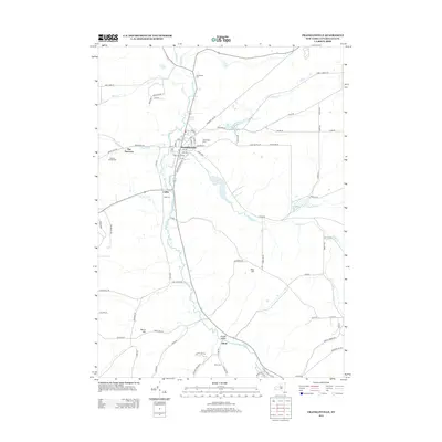
(10)- 2010 Map of Franklinville, 2010 Print
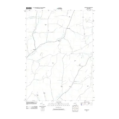
 2010 Franklinville2010 Print · USGSCovers Franklinville, including Machias, Farmersville, and other nearby areas
 - 2010 Map of Ashford, 2010 Print
 2010 Ashford2010 Print · USGSCovers Franklinville, including Machias, Ashford, and other nearby areas
 - 2013 Map of Ashford, 2013 Print
 2013 Ashford2013 Print · USGSCovers Franklinville, including Machias, Ashford, and other nearby areas
 - 2013 Map of Franklinville, 2013 Print
 2013 Franklinville2013 Print · USGSCovers Franklinville, including Machias, Farmersville, and other nearby areas
 - 2016 Map of Ashford, 2016 Print
 2016 Ashford2016 Print · USGSCovers Franklinville, including Machias, Ashford, and other nearby areas
 - 2016 Map of Franklinville, 2016 Print
 2016 Franklinville2016 Print · USGSCovers Franklinville, including Machias, Farmersville, and other nearby areas
 - 2019 Map of Ashford, 2019 Print
 2019 Ashford2019 Print · USGSCovers Franklinville, including Machias, Ashford, and other nearby areas
 - 2019 Map of Franklinville, 2019 Print
 2019 Franklinville2019 Print · USGSCovers Franklinville, including Machias, Farmersville, and other nearby areas
 - 2023 Map of Ashford, 2023 Print
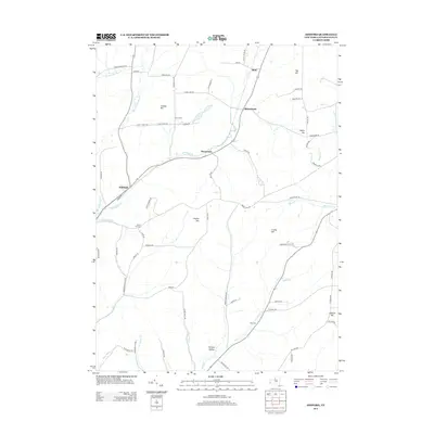
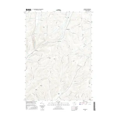
 2023 Ashford2023 Print · USGSCattaraugus County’s high ridges and hollows are detailed here, showing the rural character of the Ashford and Devereaux area today. Researchers can locate family landmarks like Bryant Hill Cem, trace the Finger Lakes Trl - North Country Trl, and explore the drainage of Great Valley Creek.
 - 2023 Map of Franklinville, 2023 Print
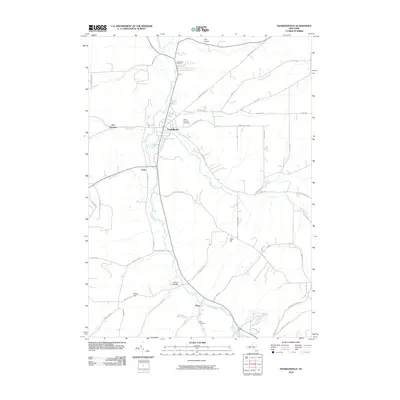
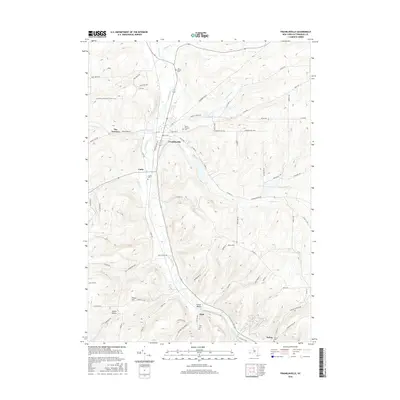
 2023 Franklinville2023 Print · USGSThe Ischua Valley comes into focus in this contemporary survey of Cattaraugus County, centered on the village of Franklinville. Genealogists can locate several key burial sites including Ten Broeck Cem and Cadiz Cem, while hikers can trace the North Country National Scenic Trl.
End of results
Showing maps 1-10 of 10
Top cities near Franklinville
- Olean historical maps
- Concord historical maps
- Allegany historical maps
- Salamanca historical maps
- Springville historical maps
- Arcade historical maps
See more
Top neighborhoods of Franklinville
- Devereaux historical maps
- Cadiz historical maps
- The Narrows historical maps
- Fitch historical maps
- Franklinville historical maps
Frequently asked questions
- What are the different types of historical maps available for Franklinville?
- What is the oldest map of Franklinville?
- Where can I purchase historical maps of Franklinville for my home or office?
- Where can I download high-res historical maps of Franklinville?
- Are there historical topographic maps available for Franklinville?
- Is there historical aerial imagery available for Franklinville?
- Where are historical maps of Franklinville sourced from?