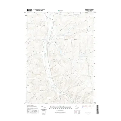
2016 Map of Franklinville
USGS Topo · Published 2016About this map
Ischua Creek winds through the heart of this valley, anchoring a string of settlements including Franklinville, Cadiz, Fitch, and Ischua. The map reveals a landscape defined by significant elevation changes, from the prominent East Hill to the topographical bottleneck known as The Narrows. This corridor has long served as a vital transit route, evidenced by the dense network of roads like Pennsylvania Ave and the modern path of the N Country National Scenic Trail crossing the western hills.
Find a feature on this map
84 named features on this map. Tap any name to fly to it.
Don’t see what you’re looking for? This feature index may not catch every label — zoom into the map to look around manually.
Map Details
Editions of this 2016 Franklinville Map
This is the sole edition of this map. No revisions or reprints were ever made.
Other maps of this area

1898 · Olean
USGS Topo · 1:62,500

1900 · Salamanca
USGS Topo · 1:62,500

1924 · Ellicottville
USGS Topo · 1:62,500

1924 · Franklinville
USGS Topo · 1:62,500

1938 · Salamanca
USGS Topo · 1:62,500

1938 · Olean
USGS Topo · 1:62,500

1941 · Ellicottville
USGS Topo · 1:62,500

1942 · Franklinville
USGS Topo · 1:62,500

1943 · Olean
USGS Topo · 1:62,500

1943 · Salamanca
USGS Topo · 1:62,500