Old Maps of Salamanca, New York for Metal Detecting
Plan your next treasure hunt with 23 historic maps of Salamanca. Find old homesites, ghost towns, trails, and gathering spots that may be lost to time — perfect for identifying promising metal detecting locations.
- Locate forgotten sites: Uncover places like long-lost settlements, abandoned rail lines, or gathering spots.
- Plan better hunts: Use map overlays combined with LiDAR or satellite views to narrow in on historically rich areas.
- Made for detectorists: Thousands of hobbyists use these maps to discover relics, coins, and hidden history.
Use these historic maps to boost your research and find new opportunities beneath the surface of Salamanca.
Salamanca, NY maps
(23)- 1900 Map of Salamanca
 1900 Salamanca1900 Print · USGSCattaraugus County's rail and timber era is documented here as it appeared in the late 1890s, centered on the river-bend hub of Salamanca. Genealogists and historians can trace the early boundaries of the Allegheny Indian Reservation and locate vanished rail stops like Irvine Mills and Peth.6 unique versions available
 - 1922 Map of Randolph, 1955 Print
 1922 Randolph1955 Print · USGSCattaraugus County in the early twenties shows a landscape of river-valley commerce and mountain parkland. Genealogists can locate dozens of country schoolhouses like Archer Hill School and vanished rail stops such as Onoville Sta and Elkdale Sta.2 unique versions available
 - 1923 Map of Randolph
 1923 Randolph1923 Print · USGSCattaraugus County's southern borderlands are captured here in the early 1920s, showing a landscape defined by the winding Allegheny River and burgeoning state park. Genealogists can trace family footprints at the Wolf Run Elko PO, Oldtown School, or the many rural schoolhouses like Bunker Hill School.4 unique versions available
 - 1938 Map of Salamanca, 1954 Print
 1938 Salamanca1954 Print · USGSIn the late 1930s, this portion of Cattaraugus County was a critical rail and river hub where the Allegheny River meets major transit lines. Researchers can trace the layout of the Allegheny Reservation and locate vanished stop points like Irvine Mills and Kill Buck.2 unique versions available
 - 1943 Map of Randolph
 1943 Randolph1943 Print · USGSCattaraugus County's river-and-rail corridor is captured here in the 1940s, highlighting the Allegheny Indian Reservation and the rugged lands of South Valley. Genealogists and researchers can trace rural life through numerous district landmarks like the Bone Run School, Wolf Run Elko PO, and the chemical plant at Red House.
 - 1943 Map of Salamanca
 1943 Salamanca1943 Print · USGSCattaraugus County during the early 1940s reveals a landscape defined by the intersection of the Allegheny River and major rail lines. Genealogists and rail historians can trace the paths of the Erie and Baltimore and Ohio railroads through Salamanca and Killbuck.
 - 1960 Map of Buffalo
 1960 Buffalo1960 Print · USGSWestern New York and the Niagara Peninsula thrive during the mid-twentieth century industrial peak. Genealogists and historians can trace family-named points and early settlements from Dunkirk Light to the Allegany Indian Reservation.
 - 1961 Map of Salamanca, 1963 Print
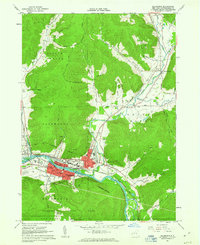 1961 Salamanca1963 Print · USGSSalamanca and the Allegheny River valley are shown here in the early sixties, a landscape defined by industrial rail lines and the surrounding reservation. Genealogists and historians can trace local landmarks like Wildwood Cem, School No 1, and the Whig St Ch.3 unique versions available
 - 1962 Map of Little Valley, 1964 Print
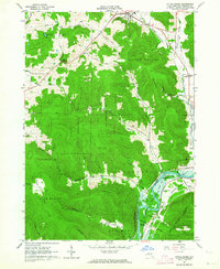 1962 Little Valley1964 Print · USGSCattaraugus County is shown in the early 1960s as the Allegheny Reservoir began to alter the river valley. Genealogists and researchers can trace the Allegany Indian Reservation boundary, locate the Jimmersontown Ch, and follow the Erie-Lackawanna rail lines.5 unique versions available
 - 1962 Map of Buffalo, 1980 Print
 1962 Buffalo1980 Print · USGSThe Niagara Frontier and Western New York are captured here in the early sixties, showing the vital industrial and maritime nexus between the U.S. and Canada. Researchers can trace the path of the Welland Canal, locate the Allegany Indian Reservation, or find family sites near Chautauqua Lake.2 unique versions available
 - 1967 Map of Buffalo
 1967 Buffalo1967 Print · USGSWestern New York and the Lake Erie shoreline are shown here during the mid-1960s industrial peak. Researchers can trace the massive rail networks of the Erie Railroad, locate the Cattaraugus Indian Reservation, or find historic sites like Fort Erie.
 - 1973 Map of Buffalo
 1973 Buffalo1973 Print · USGSWestern New York and Ontario's Golden Horseshoe meet in the early seventies, spanning from the industrial waterfronts of Buffalo to the hills of Allegany State Park. Trace the paths of the Welland Canal and Erie Lackawanna railroad through the lakefront towns of Dunkirk and Port Colborne.
 - 1986 Map of Olean
 1986 Olean1986 Print · USGSThe Southern Tier and northern Pennsylvania border are captured here in the mid-1980s as the regional rail and river economy evolved. Genealogists and local historians can trace family-named sites across the Allegany Indian Reservation, identify old Oil Field tracts, or locate landmarks like St Bonaventure University and the Tannery.2 unique versions available
 - 2010 Map of Little Valley, 2010 Print
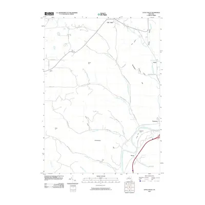 2010 Little Valley2010 Print · USGSThe Allegheny River valley and the hills surrounding Salamanca appear in high detail during the early 2010s. Trace local landmarks like Bucktooth Island, Hoags Flat, and the winding path of Sunfish Run.
 - 2010 Map of Salamanca, 2010 Print
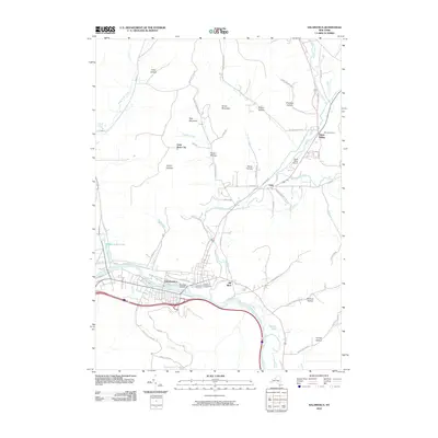 2010 Salamanca2010 Print · USGSIn the valley of the Allegheny River during the early twenty-first century, this area shows the historic settlements and terrain of Cattaraugus County. Researchers can trace local landmarks like Wildwood Cemetery, the community of Kill Buck, and the prominent Lindell Lookout.
 - 2013 Map of Little Valley, 2013 Print
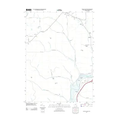 2013 Little Valley2013 Print · USGSThe valleys and ridges of Cattaraugus County are shown in detail here during the early twenty-first century. Researchers can trace rural landmarks and family burial sites like Annis Cem, the settlement of Elkdale, and the waters of the Allegheny Reservoir.
 - 2013 Map of Salamanca, 2013 Print
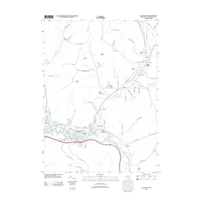 2013 Salamanca2013 Print · USGSSalamanca and the Allegheny riverfront are shown here during the early twenty-first century, highlighting the area's transition from waterway to ridge. Researchers can locate local burial sites like Wildwood Cem and trace the landscape up to Little Rock City or the Great Valley Airport.
 - 2016 Map of Little Valley, 2016 Print
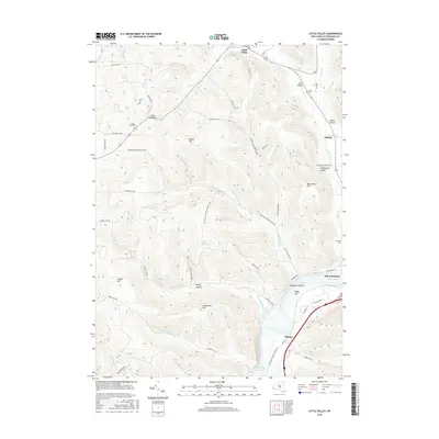 2016 Little Valley2016 Print · USGSCattaraugus County's southern highlands are documented here during the mid-2010s, showing the rural landscape between Little Valley and Salamanca. Researchers can trace the N Country National Scenic Trail or locate historical burial grounds like Maple Grove Cem and Annis Cem.
 - 2016 Map of Salamanca, 2016 Print
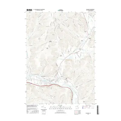 2016 Salamanca2016 Print · USGSCattaraugus County's river-valley geography is on full display here during the early twenty-first century, centered on the city of Salamanca. Researchers can trace old family burial grounds like Wildwood Cem or explore the distinctive geological formations at Little Rock City.
 - 2019 Map of Salamanca, 2019 Print
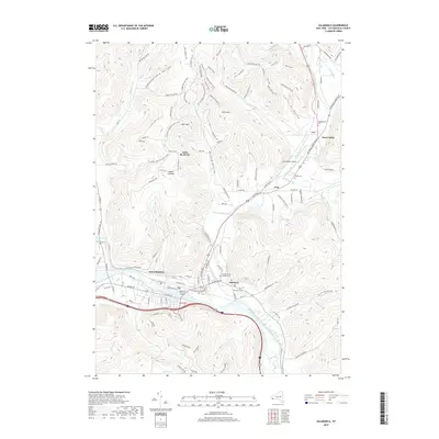 2019 Salamanca2019 Print · USGSSalamanca and the Allegheny River valley are captured here in the late twenty-teens, showing the dense network of hollows and cemeteries that define this corner of New York. Genealogists and hikers can trace sites like Little Rock City, Calvary Cemetery, and the North Country National Scenic Trail.
 - 2019 Map of Little Valley, 2019 Print
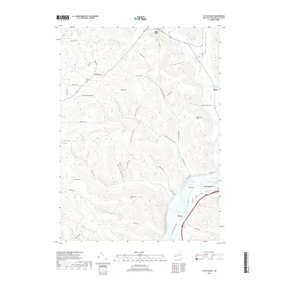 2019 Little Valley2019 Print · USGSThe northern reaches of the Allegheny Plateau appear in this modern survey, capturing the rugged ridges between Little Valley and Salamanca. Genealogists can trace family landmarks like Maple Grove Cemetery or explore the hollows around Elkdale and Shongo.
 - 2023 Map of Salamanca, 2023 Print
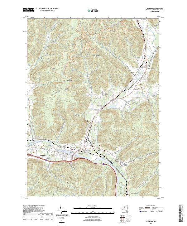 2023 Salamanca2023 Print · USGSSalamanca and the Allegheny River valley are shown in this modern survey, capturing the region's mix of industry, aviation, and geography. Researchers can trace local burial sites like Wildwood Cem and Kill Buck Cem or locate landmarks like Little Rock City.
 - 2023 Map of Little Valley, 2023 Print
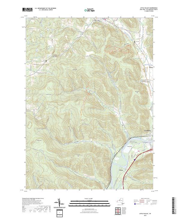 2023 Little Valley2023 Print · USGSCattaraugus County's high ridges and river valleys are captured here in the early twenty-first century as recreational trails began to define the landscape. Local historians can trace old family sites and landmarks like Maple Grove Cem, Bucktooth Island, and the quiet settlement of Elkdale.
End of results
Showing maps 1-23 of 23
Top cities near Salamanca
- Bradford historical maps
- Allegany historical maps
- Franklinville historical maps
- Randolph historical maps
- Machias historical maps
- Persia historical maps
See more
Frequently asked questions
- What are the different types of historical maps available for Salamanca?
- What is the oldest map of Salamanca?
- Where can I purchase historical maps of Salamanca for my home or office?
- Where can I download high-res historical maps of Salamanca?
- Are there historical topographic maps available for Salamanca?
- Is there historical aerial imagery available for Salamanca?
- Where are historical maps of Salamanca sourced from?