2020s Maps of South Valley, New York
Explore 4 historic maps of South Valley from the 2020s. These maps offer a rare glimpse into what life looked like during the 2020s — showing old roads, neighborhoods, homes, and landmarks that have changed or disappeared over time.
Whether you're researching your family's past, planning a metal detecting trip, or studying how South Valley's landscape evolved across the 2020s, these high-resolution maps are a powerful tool for exploring the history of this region.
- Focus on a specific era: All maps on this page are from the 2020s, giving you a focused view of this time period.
- See what’s changed: Compare century-old streets, trails, and buildings to today's modern landscape using overlays and satellite layers.
- Research with precision: Use these maps for genealogy, historical research, land use analysis, or educational projects.
- View, download, or print: Maps are fully viewable online in high resolution, and can be downloaded or printed for your own records.
Start exploring South Valley's history through authentic maps from the 2020s. This is your window into the past.
South Valley, NY maps
(4)- 2023 Map of Ivory, 2023 Print
 2023 Ivory2023 Print · USGSWestern New York's ridge-and-valley landscape is documented here in the 2020s, showing the enduring rural layout of the Chautauqua borderlands. Genealogists and hikers can trace the winding paths of Frews Run or locate quiet landmarks like Ivory Cemetery and the settlement of Vollentine.
 - 2023 Map of Cornplanter Run, 2023 Print
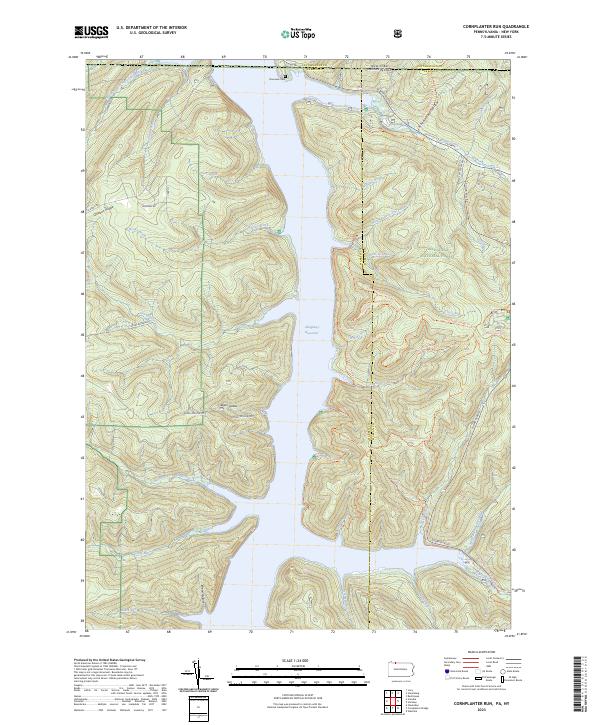 2023 Cornplanter Run2023 Print · USGSThe Allegheny National Forest meets the New York border in the 2020s, showing a landscape defined by the Allegheny Reservoir. Researchers can trace old routes like Cornplanter Road or find family landmarks at Riverview Cemetery and Roper Hollow.
 - 2023 Map of Scandia, 2023 Print
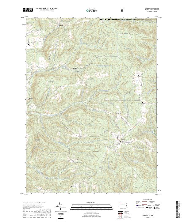 2023 Scandia2023 Print · USGSWarren County, Pennsylvania, is shown here as a landscape of deep valleys and forested ridges during the early twenty-first century. Researchers can locate numerous family-named burial grounds like Macks Corners Cem and Smith Cem alongside landmarks such as Scandia Air Park.
 - 2023 Map of Steamburg, 2023 Print
 2023 Steamburg2023 Print · USGSSteamburg and the southern Allegheny River valley are shown in this contemporary era, where the massive Allegheny Reservoir has reshaped the terrain. Genealogists can locate Steamburg Cem and the Old Town Cem, or trace landmarks like Halliday Island.
End of results
Showing maps 1-4 of 4
Top cities near South Valley
- Jamestown historical maps
- Warren historical maps
- Ellicott historical maps
- Salamanca historical maps
- Carroll historical maps
- Randolph historical maps
See more
Top neighborhoods of South Valley
Frequently asked questions
- What are the different types of historical maps available for South Valley?
- What is the oldest map of South Valley?
- Where can I purchase historical maps of South Valley for my home or office?
- Where can I download high-res historical maps of South Valley?
- Are there historical topographic maps available for South Valley?
- Is there historical aerial imagery available for South Valley?
- Where are historical maps of South Valley sourced from?