2000s (21st Century) Maps of Dunkirk, New York
Explore 15 historic maps of Dunkirk from the 2000s (21st Century). These maps offer a rare glimpse into what life looked like during the 2000s — showing old roads, neighborhoods, homes, and landmarks that have changed or disappeared over time.
Whether you're researching your family's past, planning a metal detecting trip, or studying how Dunkirk's landscape evolved across the 2000s, these high-resolution maps are a powerful tool for exploring the history of this region.
- Focus on a specific era: All maps on this page are from the 2000s, giving you a focused view of this time period.
- See what’s changed: Compare century-old streets, trails, and buildings to today's modern landscape using overlays and satellite layers.
- Research with precision: Use these maps for genealogy, historical research, land use analysis, or educational projects.
- View, download, or print: Maps are fully viewable online in high resolution, and can be downloaded or printed for your own records.
Start exploring Dunkirk's history through authentic maps from the 2000s. This is your window into the past.
Dunkirk, NY maps
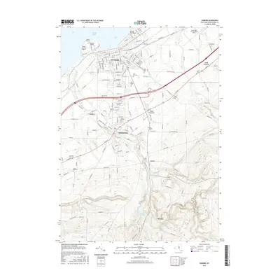
(15)- 2010 Map of Dunkirk, 2010 Print
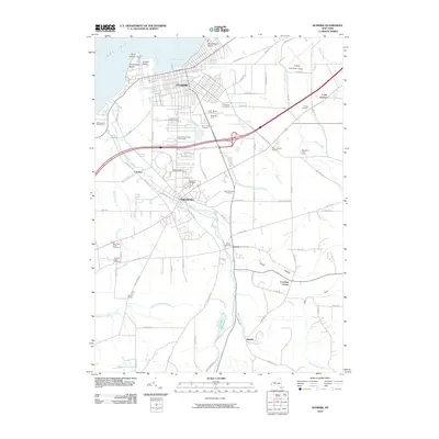 2010 Dunkirk2010 Print · USGSCovers Dunkirk, including Pomfret, Fredonia, and other nearby areas
 - 2010 Map of North of Dunkirk, 2010 Print
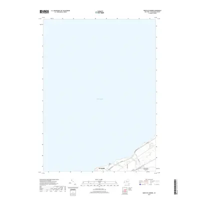
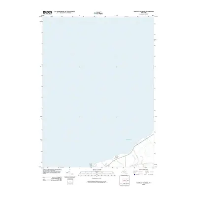 2010 North of Dunkirk2010 Print · USGSCovers Dunkirk, including Sheridan, Chautauqua County, and other nearby areas
 - 2010 Map of Brocton, 2010 Print
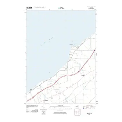 2010 Brocton2010 Print · USGSCovers Dunkirk, including Pomfret, Portland, and other nearby areas
 - 2013 Map of Brocton, 2013 Print
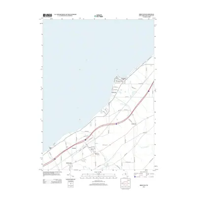 2013 Brocton2013 Print · USGSCovers Dunkirk, including Pomfret, Portland, and other nearby areas
 - 2013 Map of North of Dunkirk, 2013 Print
 2013 North of Dunkirk2013 Print · USGSCovers Dunkirk, including Sheridan, Chautauqua County, and other nearby areas
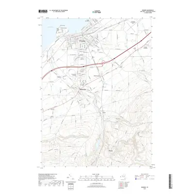
 - 2013 Map of Dunkirk, 2013 Print
 2013 Dunkirk2013 Print · USGSCovers Dunkirk, including Pomfret, Fredonia, and other nearby areas
 - 2016 Map of North of Dunkirk, 2016 Print
 2016 North of Dunkirk2016 Print · USGSCovers Dunkirk, including Sheridan, Chautauqua County, and other nearby areas
 - 2016 Map of Brocton, 2016 Print
 2016 Brocton2016 Print · USGSCovers Dunkirk, including Pomfret, Portland, and other nearby areas
 - 2016 Map of Dunkirk, 2016 Print
 2016 Dunkirk2016 Print · USGSCovers Dunkirk, including Pomfret, Fredonia, and other nearby areas
 - 2019 Map of Dunkirk, 2019 Print
 2019 Dunkirk2019 Print · USGSCovers Dunkirk, including Pomfret, Fredonia, and other nearby areas
 - 2019 Map of North of Dunkirk, 2019 Print
 2019 North of Dunkirk2019 Print · USGSCovers Dunkirk, including Sheridan, Chautauqua County, and other nearby areas
 - 2019 Map of Brocton, 2019 Print
 2019 Brocton2019 Print · USGSCovers Dunkirk, including Pomfret, Portland, and other nearby areas
 - 2023 Map of North of Dunkirk, 2023 Print
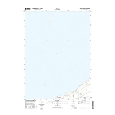
 2023 North of Dunkirk2023 Print · USGSThe eastern edge of Dunkirk and its Lake Erie shoreline are shown here in modern detail. Researchers can trace local landmarks like Saint Hyacinth Cem and the routes of Scott Creek and Beaver Creek as they meet the lake.
 - 2023 Map of Dunkirk, 2023 Print
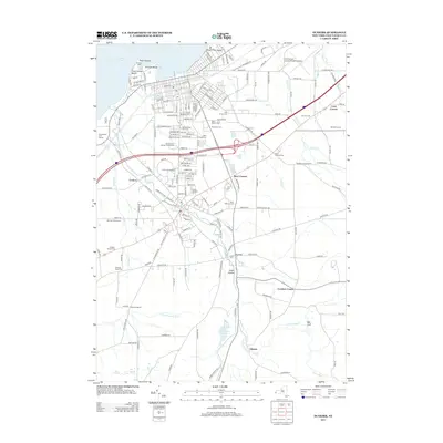
 2023 Dunkirk2023 Print · USGSThe Chautauqua County shoreline comes into sharp focus in this recent survey of the growing corridor between Lake Erie and the inland hills. Genealogists and local researchers can trace numerous burial grounds including Forest Hill Cem and Saint Josephs Cem, or locate landmarks like SUNY Fredonia.
 - 2023 Map of Brocton, 2023 Print
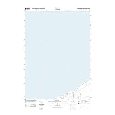
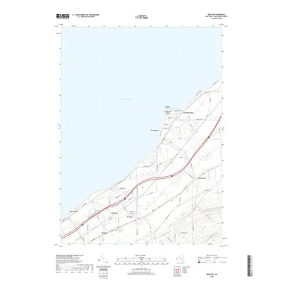
 2023 Brocton2023 Print · USGSThe Lake Erie waterfront and the vineyard-rich lowlands of western New York are documented here in the early twenty-first century. Researchers can trace family sites near Pecor Cem or examine the development of local hubs like Brocton, Lamberton, and Van Buren Point.
End of results
Showing maps 1-15 of 15
Top cities near Dunkirk
- Pomfret historical maps
- Dunkirk historical maps
- Fredonia historical maps
- Hanover historical maps
- Westfield historical maps
- Portland historical maps
See more
Frequently asked questions
- What are the different types of historical maps available for Dunkirk?
- What is the oldest map of Dunkirk?
- Where can I purchase historical maps of Dunkirk for my home or office?
- Where can I download high-res historical maps of Dunkirk?
- Are there historical topographic maps available for Dunkirk?
- Is there historical aerial imagery available for Dunkirk?
- Where are historical maps of Dunkirk sourced from?