Old Maps of Kiantone, New York for Genealogy
Trace your family roots with 28 historic maps of Kiantone. These high-res maps reveal old neighborhoods, homesites, landmarks, and streets — helping you uncover where your ancestors lived and how the area evolved over time.
- Explore historic neighborhoods: Identify where your relatives may have lived in the 1800s or 1900s.
- Compare maps over time: Trace the changes in streets, buildings, and landmarks for multi-generational research.
- Perfect for genealogy & ancestry research: Used by family historians and researchers to map out lineage and migration.
These maps are an incredible resource for exploring your personal connection to Kiantone's past.
Kiantone, NY maps
(28)- 1905 Map of Jamestown
 1905 Jamestown1905 Print · USGSJamestown and the surrounding Chautauqua County valleys are captured here at the start of the twentieth century. Researchers can trace early rail corridors like the Erie R.R. and locate family-named landmarks in Frewsburg, Ellington, and Kiantone.5 unique versions available
 - 1906 Map of Warren
 1906 Warren1906 Print · USGSWarren and its surrounding river valleys are captured here at the height of the early rail era. Genealogists can trace family names across dozens of rural landmarks, from the State Insane Asylum to scattered outposts like Lander and Old Clarendon.3 unique versions available
 - 1907 Map of Warren
 1907 Warren1907 Print · USGSWarren and its riverfront neighborhoods thrived at the dawn of the century as a hub for the Pennsylvania RR. Local historians can trace the footprint of the State Insane Asylum and find rural schools such as Dutch Hill School and Knupp School.
 - 1908 Map of Warren
 1908 Warren1908 Print · USGSThe river-and-rail economy of Warren County is documented here at the turn of the century. Genealogists can trace family-named landmarks and rural hubs like Lander, Oakland Cem, and the State Insane Asylum.3 unique versions available
 - 1942 Map of Jamestown
 1942 Jamestown1942 Print · USGSJamestown and the Chautauqua County interior are captured here in the early 1940s, showing a landscape defined by industry and deep-set river valleys. Genealogists can trace family roots in old settlements like Frewsburg, Gerry, and the Rutledge Conewango PO.
 - 1954 Map of Russell, 1956 Print
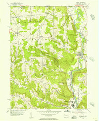 1954 Russell1956 Print · USGSWarren County in the mid-1950s shows a landscape of institutional farms and rural crossroads along the Conewango Creek. Trace the New York Central Railroad corridor through Russell and Akeley, or locate ancestral sites like Marshtown Cem and Putnamville.4 unique versions available
 - 1954 Map of Jamestown, 1956 Print
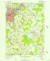 1954 Jamestown1956 Print · USGSJamestown and its neighboring valleys in the mid-fifties show a bustling industrial center transitioning into Chautauqua County farmland. Researchers can trace family roots through numerous sites like Mt Olivet Cem, Lillian Dickson Sch, and the outlying hamlet of Frewsburg.3 unique versions available
 - 1957 Map of Warren, 1964 Print
 1957 Warren1964 Print · USGSThe northern Pennsylvania oil and timber country comes into focus in the mid-fifties, showing the region before modern highway expansions. Trace the industrial rail networks of the Pennsylvania RR and the early Allegheny River Reservoir near Warren and Oil City.4 unique versions available
 - 1958 Map of Warren
 1958 Warren1958 Print · USGSNorthern Pennsylvania’s timber and oil country is captured here during the late fifties, showing the interplay of industrial valleys and vast state forests. Genealogists can trace family connections across the Cornplanter Indian Reservation or through rail hubs like Oil City and Saint Marys.
 - 1959 Map of Warren
 1959 Warren1959 Print · USGSNorthern Pennsylvania's oil and timber country comes alive in this late-fifties study of the forest-clad plateaus. Trace the historic Cornplanter (Indian Reservation), the sprawling Oil Field, and the rail lines of the Pennsylvania RR.2 unique versions available
 - 1960 Map of Buffalo
 1960 Buffalo1960 Print · USGSWestern New York and the Niagara Peninsula thrive during the mid-twentieth century industrial peak. Genealogists and historians can trace family-named points and early settlements from Dunkirk Light to the Allegany Indian Reservation.
 - 1962 Map of Buffalo, 1980 Print
 1962 Buffalo1980 Print · USGSThe Niagara Frontier and Western New York are captured here in the early sixties, showing the vital industrial and maritime nexus between the U.S. and Canada. Researchers can trace the path of the Welland Canal, locate the Allegany Indian Reservation, or find family sites near Chautauqua Lake.2 unique versions available
 - 1967 Map of Buffalo
 1967 Buffalo1967 Print · USGSWestern New York and the Lake Erie shoreline are shown here during the mid-1960s industrial peak. Researchers can trace the massive rail networks of the Erie Railroad, locate the Cattaraugus Indian Reservation, or find historic sites like Fort Erie.
 - 1971 Map of Warren
 1971 Warren1971 Print · USGSNorth Central Pennsylvania is captured here in the early seventies, showing a landscape defined by industrial centers and massive state forests. Genealogists and historians can trace the rail lines of the Penn Central and Erie Lackawanna connecting towns like Warren, Kane, and Du Bois.
 - 1973 Map of Buffalo
 1973 Buffalo1973 Print · USGSWestern New York and Ontario's Golden Horseshoe meet in the early seventies, spanning from the industrial waterfronts of Buffalo to the hills of Allegany State Park. Trace the paths of the Welland Canal and Erie Lackawanna railroad through the lakefront towns of Dunkirk and Port Colborne.
 - 1979 Map of Jamestown, 1980 Print
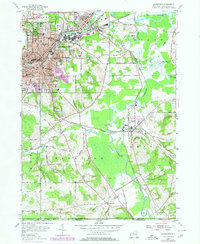 1979 Jamestown1980 Print · USGSJamestown and its surrounding Chautauqua County townships are shown here during the late 1970s, illustrating the transition from urban industry to river valley farmland. Genealogists can trace family names and local history across Falconer, Frewsburg, and Kiantone, while locating sites like Mt Olivet Cem and Riverside Sch.
 - 1983 Map of Warren, 1984 Print
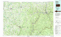 1983 Warren1984 Print · USGSNorthwestern Pennsylvania at the dawn of the 1980s reveals a landscape defined by the petroleum industry and expansive public lands. Trace the legacy of early oil at Drake Well Memorial Park and Pithole City Historical Site, or locate family sites near Warren State Hospital and Kellettville.
 - 1986 Map of Jamestown
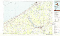 1986 Jamestown1986 Print · USGSChautauqua County and the Lake Erie shoreline are captured in the mid-eighties as the region balanced its industrial rail hubs with lakeside culture. Local historians can trace the grounds of the Chautauqua Institution, the expansion of Jamestown, and rural landmarks like Sunset Hill Cemetery.2 unique versions available
 - 2010 Map of Jamestown, 2010 Print
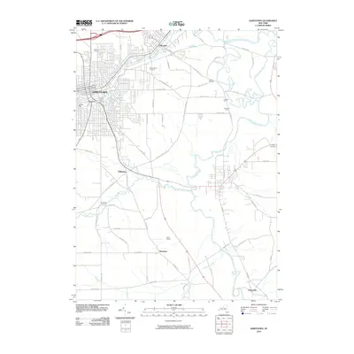 2010 Jamestown2010 Print · USGSJamestown and its surrounding valley communities are captured in detail during the early twenty-first century. Genealogists can trace family plots at Lake View Cemetery and Mount Olivet Cemetery, or explore outlying settlements like Falconer, Kiantone, and Fentonville.
 - 2010 Map of Russell, 2010 Print
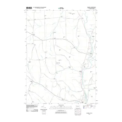 2010 Russell2010 Print · USGSThe Pennsylvania and New York border comes to life in this detailed map of rural crossroads and creek valleys. Genealogists and local historians can trace family-named locations like Mahan Corners, Wheeler Corners, and Foster Cemetery.
 - 2013 Map of Jamestown, 2013 Print
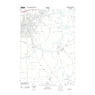 2013 Jamestown2013 Print · USGSJamestown and the surrounding valley communities are captured in this Chautauqua County survey during the early 2010s. Researchers can trace family history at Lake View Cem or locate the site of the Park 60 Drive-In and Laska Airport.
 - 2013 Map of Russell, 2013 Print
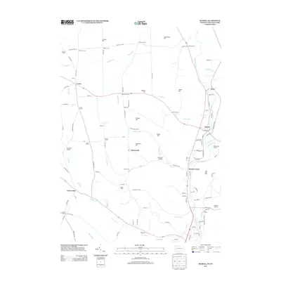 2013 Russell2013 Print · USGSThe Pennsylvania-New York borderlands are shown here in the early twenty-first century, centered on the winding Conewango Cr. Genealogists and local historians can trace family-named sites like Fairbanks Corners, Lander, and the Guy C Irving House.
 - 2016 Map of Russell, 2016 Print
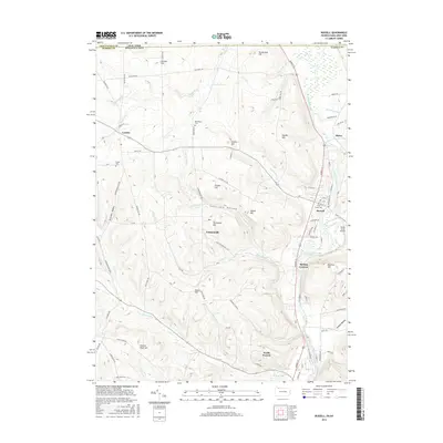 2016 Russell2016 Print · USGSThe Pennsylvania and New York border comes to life in this recent survey of the Conewango valley. Researchers can trace family roots at Marshtown Cem and Pine Grove Cem, or locate landmarks like Shield Farm Airport and Backup Corners.
 - 2016 Map of Jamestown, 2016 Print
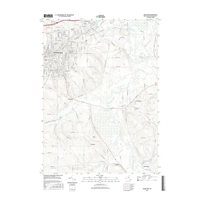 2016 Jamestown2016 Print · USGSJamestown and its surrounding valley are captured in detail here during a period of modern development and preserved rural spaces. Genealogists and local historians can trace family plots at Lake View Cemetery or explore the river-side hamlets of Stillwater and Fentonville.
 - 2019 Map of Russell, 2019 Print
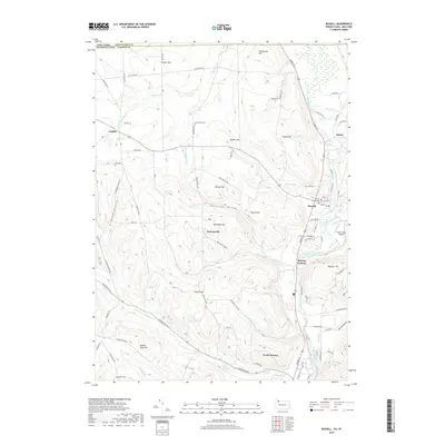 2019 Russell2019 Print · USGSThe borderlands of New York and Pennsylvania come into focus in this late 2010s survey of the Conewango valley. Researchers can trace family history through several sites including Pine Grove Cem, Marshtown Cem, and the old settlement at Lander.
Showing maps 1-25 of 28
Top cities near Kiantone
- Jamestown historical maps
- Warren historical maps
- Ellicott historical maps
- Busti historical maps
- Ellery historical maps
- Chautauqua historical maps
See more
Top neighborhoods of Kiantone
Frequently asked questions
- What are the different types of historical maps available for Kiantone?
- What is the oldest map of Kiantone?
- Where can I purchase historical maps of Kiantone for my home or office?
- Where can I download high-res historical maps of Kiantone?
- Are there historical topographic maps available for Kiantone?
- Is there historical aerial imagery available for Kiantone?
- Where are historical maps of Kiantone sourced from?