Old Maps of Chemung County, New York for Genealogy
Trace your family roots with 99 historic maps of Chemung County. These high-res maps reveal old neighborhoods, homesites, landmarks, and streets — helping you uncover where your ancestors lived and how the area evolved over time.
- Explore historic neighborhoods: Identify where your relatives may have lived in the 1800s or 1900s.
- Compare maps over time: Trace the changes in streets, buildings, and landmarks for multi-generational research.
- Perfect for genealogy & ancestry research: Used by family historians and researchers to map out lineage and migration.
These maps are an incredible resource for exploring your personal connection to Chemung County's past.
Chemung County, NY maps
(99)- 1893 Map of Ithaca, 1960 Print
 1893 Ithaca1960 Print · USGSThe Finger Lakes region at the end of the nineteenth century was a landscape of steep gorges and rail-connected hamlets. Genealogists and local historians can trace old property lines and rural crossroads from Ithaca to Trumbull Corner and the secluded Pony Hollow.
 - 1895 Map of Ithaca
 1895 Ithaca1895 Print · USGSThe Finger Lakes region at the end of the nineteenth century is defined by its dramatic lakefront topography and rural hamlets. Genealogists and historians can trace family locations across Ithaca, Newfield, and the high reaches of Connecticut Hill.13 unique versions available
 - 1895 Map of Elmira
 1895 Elmira1895 Print · USGSChemung County and the northern Pennsylvania border appear as a thriving rail hub in the 1890s. Genealogists and local historians can trace the early grids of Elmira, the important rail junctions at State Line Junction, and family-named landmarks like Hawley Hill.10 unique versions available
 - 1898 Map of Watkins Glen, 1961 Print
 1898 Watkins Glen1961 Print · USGSSteamboat routes and competing rail lines define the Schuyler County landscape at the close of the nineteenth century. Researchers can trace the early rail stops at Rock Stream Station, the heights of Watkins Hill, and vanished post offices like Barnes P. O.
 - 1901 Map of Watkins
 1901 Watkins1901 Print · USGSSchuyler County at the turn of the century centered on the bustling rail-and-canal nexus of the southern Finger Lakes. Genealogists and historians can trace the exact 1901 locations of Watkins, Montour Falls, and rural post offices like Barnes P. O.10 unique versions available
 - 1902 Map of Waverly
 1902 Waverly1902 Print · USGSThe Chemung River valley and the Pennsylvania borderlands come alive in this turn-of-the-century survey of Tioga and Chemung counties. Genealogists and rail historians can trace defunct stations and crossroads like Van Etten Junction, Owens Mills, and the village of Wellsburg.7 unique versions available
 - 1905 Map of Watkins Glen
 1905 Watkins Glen1905 Print · USGSThe Finger Lakes and Southern Tier regions are captured at the start of the century, showing a landscape defined by deep glens and heavy rail. Genealogists and historians can trace the paths of the Northern Central RR through Watkins or locate family sites near Burdett and Horseheads.4 unique versions available
 - 1950 Map of Elmira
 1950 Elmira1950 Print · USGSThe Finger Lakes region thrived in the late 1940s as a hub of industry and transport. Trace family roots and vanished landmarks near Seneca Lake or explore the rail lines of the Erie RR and the sprawling Seneca Ordnance Depot.2 unique versions available
 - 1950 Map of Alpine, 1952 Print
 1950 Alpine1952 Print · USGSSchuyler and Tompkins counties in the mid-century are defined here by high ridges and the winding route of the Lehigh Valley railroad. Researchers can trace the old rail junctions and find landmarks like Lawrence Memorial Chapel, Hinman Swamp, and the Fish Hatchery near Cayuta.2 unique versions available
 - 1950 Map of West Danby, 1952 Print
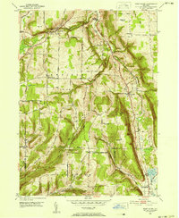 1950 West Danby1952 Print · USGSMid-century Tompkins County is mapped here as a network of hill-and-valley settlements and vital rail lines. Local researchers can trace family landmarks and community nodes like Woodlawn Cem, Kellogg Corners, and the southern waters of Spencer Lake.2 unique versions available
 - 1950 Map of Montour Falls, 1952 Print
 1950 Montour Falls1952 Print · USGSThe southern tip of Seneca Lake and the glacial valleys of Schuyler County are captured here in the early postwar era. Genealogists and local historians can trace old homesteads and landmarks like St Johns Seminary, Highland Cem, and School No 9.4 unique versions available
 - 1953 Map of Beaver Dams, 1955 Print
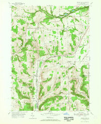 1953 Beaver Dams1955 Print · USGSSchuyler and Chemung counties are seen here in the early 1950s, centered on the railroad corridor and rural hamlets. Researchers can trace family history through local landmarks like Savory Cem, Catlin Center Sch, and the New York Central line at Beaver Dams.3 unique versions available
 - 1953 Map of Horseheads, 1955 Print
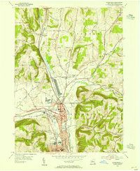 1953 Horseheads1955 Print · USGSChemung County thrived as a vital railroad junction and industrial center in the years following the Second World War. Genealogists and local historians can trace the development of Horseheads through its numerous landmarks, including the County Fairgrounds, Maple Grove Cem, and several numbered country schools.2 unique versions available
 - 1953 Map of Big Flats, 1955 Print
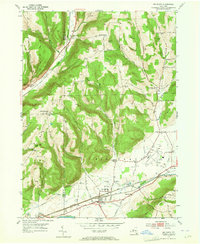 1953 Big Flats1955 Print · USGSBig Flats and the Chemung River valley are shown in detail during the early fifties, a time when rail travel still dominated the local corridor. Researchers can pinpoint long-standing landmarks like the Rural Home Cem, Fisherville, and several neighborhood schools including Farr Sch.2 unique versions available
 - 1953 Map of Seeley Creek, 1955 Print
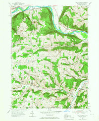 1953 Seeley Creek1955 Print · USGSThe Chemung River valley and the hills of the state line appear here in the early fifties, before modern expansion. Researchers can trace rural school districts like Caton Sch No 2, family-named summits such as Kinner Hill, and the grounds of the Mt Savior Monastery.2 unique versions available
 - 1953 Map of Elmira, 1955 Print
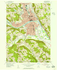 1953 Elmira1955 Print · USGSThe Chemung River valley is shown at a mid-century peak of rail and institutional development. Researchers can trace the extensive Erie RR network and locate family plots in Woodlawn Cemetery or the Fulton Street Cem.2 unique versions available
 - 1953 Map of Elmira, 1961 Print
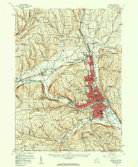 1953 Elmira1961 Print · USGSChemung County and the Pennsylvania borderlands are captured here in the early fifties, showing the industrial pulse of the river valley. Trace family roots through numerous district schools like Quackenbush Sch and burial grounds such as Woodlawn Cem.2 unique versions available
 - 1954 Map of Erin, 1956 Print
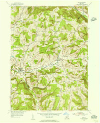 1954 Erin1956 Print · USGSChemung County in the mid-fifties is a landscape of valley hamlets and family-named ridges like Laurel Hill. Genealogists and historians can trace local roots through several burial sites, including Old Scotchtown Cem and Hilltop Cem near Breesport.
 - 1954 Map of Waverly, 1956 Print
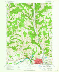 1954 Waverly1956 Print · USGSThe village of Waverly appears here as a bustling rail crossroads during the mid-fifties, situated right at the New York and Pennsylvania state line. You can trace the legacy of early settlements and rural infrastructure through Owens Mill, the Bogart Hill Sch, and the winding tracks of the Lehigh Valley railroad.2 unique versions available
 - 1954 Map of Wellsburg, 1956 Print
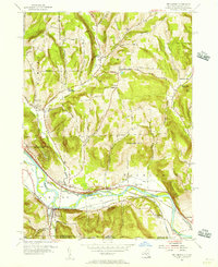 1954 Wellsburg1956 Print · USGSThe Chemung River valley in the mid-1950s shows a dense network of rail and river history along the New York-Pennsylvania border. Researchers can trace defunct infrastructure like the Abandoned Canal or locate local landmarks including The Red Schoolhouse and Riverside Cem.
 - 1954 Map of Van Etten, 1956 Print
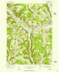 1954 Van Etten1956 Print · USGSChemung and Tioga Counties are seen here in the mid-1950s, centered on the vital rail junction at Van Etten. Genealogists and local historians can trace family-named sites like Rumsey Cem, Hicks, and landmarks along the Lehigh Valley line.
 - 1954 Map of Waverly, 1961 Print
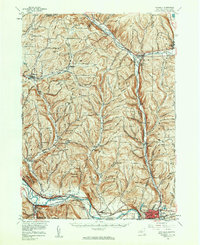 1954 Waverly1961 Print · USGSThe Southern Tier's river valleys and rail networks are caught at a mid-century peak in this survey of Tioga and Chemung counties. Genealogists can trace family names through landmarks like Austin Hill Cem, the Double Mill Sch, and the historical Newtown Battlefield State Park.2 unique versions available
 - 1958 Map of Elmira
 1958 Elmira1958 Print · USGSThe New York Finger Lakes during the late fifties reveal a complex landscape of glacial geology and industrial growth. Researchers can trace historic transport corridors like the Erie Canal and Erie RR, or locate institutional landmarks like Cornell University.2 unique versions available
 - 1961 Map of Montour Falls
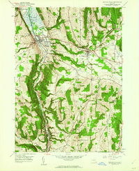 1961 Montour Falls1961 Print · USGSMontour Falls and the surrounding Finger Lakes highlands are captured here in the mid-twentieth century as the valley's rail-and-water economy remained in full swing. Researchers can trace the paths of the Pennsylvania Railroad and locate local landmarks like St Johns Seminary and Laurel Hill Cem.
 - 1962 Map of Elmira, 1969 Print
 1962 Elmira1969 Print · USGSThe Finger Lakes region and Southern Tier are captured here during a period of industrial maturity and highway expansion. Researchers can trace the path of the Erie Canal, the footprint of the Seneca Army Depot, and legacy rail lines through Elmira and Ithaca.4 unique versions available
Showing maps 1-25 of 99
Top cities of Chemung County
- Elmira historical maps
- Horseheads historical maps
- Southport historical maps
- Big Flats historical maps
- Elmira historical maps
- Elmira Heights historical maps
See more
Frequently asked questions
- What are the different types of historical maps available for Chemung County?
- What is the oldest map of Chemung County?
- Where can I purchase historical maps of Chemung County for my home or office?
- Where can I download high-res historical maps of Chemung County?
- Are there historical topographic maps available for Chemung County?
- Is there historical aerial imagery available for Chemung County?
- Where are historical maps of Chemung County sourced from?