2020s Maps of Plattsburgh, New York
Explore 9 historic maps of Plattsburgh from the 2020s. These maps offer a rare glimpse into what life looked like during the 2020s — showing old roads, neighborhoods, homes, and landmarks that have changed or disappeared over time.
Whether you're researching your family's past, planning a metal detecting trip, or studying how Plattsburgh's landscape evolved across the 2020s, these high-resolution maps are a powerful tool for exploring the history of this region.
- Focus on a specific era: All maps on this page are from the 2020s, giving you a focused view of this time period.
- See what’s changed: Compare century-old streets, trails, and buildings to today's modern landscape using overlays and satellite layers.
- Research with precision: Use these maps for genealogy, historical research, land use analysis, or educational projects.
- View, download, or print: Maps are fully viewable online in high resolution, and can be downloaded or printed for your own records.
Start exploring Plattsburgh's history through authentic maps from the 2020s. This is your window into the past.
Plattsburgh, NY maps
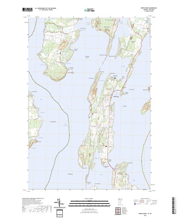
(9)- 2021 Map of North Hero, 2021 Print
 2021 North Hero2021 Print · USGSCovers Plattsburgh, including Beekmantown, Chazy, and other nearby areas
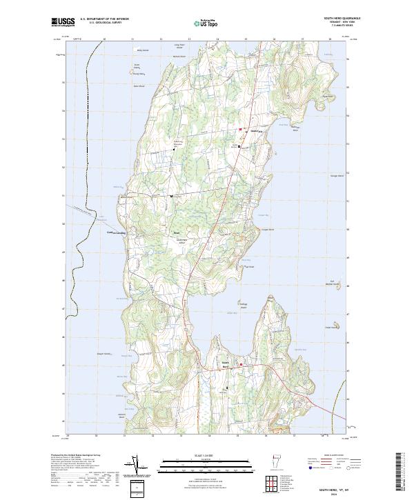
 - 2021 Map of South Hero, 2021 Print
 2021 South Hero2021 Print · USGSCovers Plattsburgh, including Milton, Grand Isle, and other nearby areas
 - 2023 Map of Beekmantown, 2023 Print
 2023 Beekmantown2023 Print · USGSThe western shores of Lake Champlain are captured in this recent survey, showing the historic hamlets and irregular coastline of Clinton County. Researchers can trace family sites near Doane Cem, the village of Beekmantown, and the expansive Point Au Roche.
 - 2023 Map of Plattsburgh, 2023 Print
 2023 Plattsburgh2023 Print · USGSPlattsburgh and the Lake Champlain shoreline are shown in detail as they appeared in the early 2020s. Researchers can trace historic burial sites like Old Roman Catholic Cem or study the evolving grounds of SUNY Plattsburgh.
 - 2023 Map of Dannemora, 2023 Print
 2023 Dannemora2023 Print · USGSThe northern Adirondack foothills come into focus in this contemporary survey of Dannemora and the Saranac River valley. Genealogists can trace several institutional and community burial sites, including the State Prison Cem and Saint James Catholic Cem.
 - 2023 Map of Keeseville, 2023 Print
 2023 Keeseville2023 Print · USGSLake Champlain's western shore comes alive in this survey of the northern Adirondack foothills and the Ausable River delta. Researchers can trace historic cemeteries like Blockhouse Cem, the iconic geology of Ausable Chasm, and the quiet waterfront at Port Kent.
 - 2023 Map of Morrisonville, 2023 Print
 2023 Morrisonville2023 Print · USGSInland Clinton County as it appeared in 2023 shows a landscape shaped by the Saranac River and a history of rural settlement. Researchers can locate several distinct burial grounds like Irish Settlement Cem and Magdala Solitude Cem alongside the modern footprint of Morrisonville.
 - 2024 Map of South Hero, 2024 Print
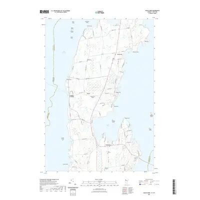
 2024 South Hero2024 Print · USGSSouth Hero Island and the surrounding waters of Lake Champlain are mapped here in the early twenty-first century. Researchers can trace local lineage through numerous island burial grounds like Quaker and Macomber Cem and the South Hero Cem.
 - 2024 Map of North Hero, 2024 Print
 2024 North Hero2024 Print · USGSThe Lake Champlain islands of Grand Isle County are captured here in their contemporary form, showing the enduring settlement patterns of North Hero and Isle La Motte. Researchers can locate family landmarks such as the Grand Isle County Courthouse and several historic cemeteries including Hyde Cem and Jerusalem Cem.
End of results
Showing maps 1-9 of 9
Top cities near Plattsburgh
- South Burlington historical maps
- Plattsburgh historical maps
- Colchester historical maps
- Peru historical maps
- Champlain historical maps
- Beekmantown historical maps
See more
Top neighborhoods of Plattsburgh
- Pleasant Ridge Corners historical maps
- South Plattsburgh historical maps
- West Plattsburgh historical maps
- South Junction historical maps
- Cliff Haven historical maps
- Halseys Corners historical maps
See more
Frequently asked questions
- What are the different types of historical maps available for Plattsburgh?
- What is the oldest map of Plattsburgh?
- Where can I purchase historical maps of Plattsburgh for my home or office?
- Where can I download high-res historical maps of Plattsburgh?
- Are there historical topographic maps available for Plattsburgh?
- Is there historical aerial imagery available for Plattsburgh?
- Where are historical maps of Plattsburgh sourced from?