Old Maps of Philmont, Claverack for Academic Research
Study the evolution of Philmont with 24 high-resolution historic maps. Whether you're teaching, researching, or modeling changes in land use, these maps provide essential visual documentation of urban, environmental, and geographic change.
- Analyze long-term change: Track patterns in development, transportation, and natural features.
- Ideal for environmental or urban studies: Support academic projects with primary historical map data.
- Use in the classroom or lab: Educators and researchers rely on these maps to bring historical context to life.
These maps are a powerful tool for teaching, research, and visualizing how Philmont has changed over the decades.
Philmont, Claverack maps
(24)- 1902 Map of Copake, 1954 Print
 1902 Copake1954 Print · USGSColumbia County at the turn of the century shows a landscape defined by industry and iron, before modern highways bypassed these hillside hamlets. Trace the rail-and-mine economy through Copake Ironworks, the Weed Mines, and the busy junction at Boston Corners.
 - 1903 Map of Kinderhook
 1903 Kinderhook1903 Print · USGSColumbia County at the turn of the century shows a landscape defined by the intersection of water power and rail. Trace the industrial heritage of Stuyvesant Falls and White Mills or locate ancestral homes in Old Chatham and Valatie.6 unique versions available
 - 1904 Map of Copake
 1904 Copake1904 Print · USGSColumbia County at the turn of the century shows a landscape defined by deep-rooted industry and an extensive rail network. Researchers can trace the legacy of mining and milling at Ancram Leadmines, Weed Mines, and the Spaulding Furnace along the Roeliff Jansen Kill.7 unique versions available
 - 1933 Map of Kinderhook
 1933 Kinderhook1933 Print · USGSColumbia County in the early thirties is a landscape of thriving mill towns and rail junctions. Genealogists and historians can locate family-named schoolhouses like Woltermire Sch or trace the grounds of the Martin Van Buren Homestead.3 unique versions available
 - 1947 Map of Claverack
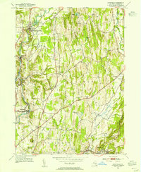
 1947 Claverack1947 Print · USGSPost-war Columbia County comes to life in this survey of the hills and hamlets south of Ghent. Trace the legacy of family farms and early industry through the New York Central Railroad, Red Mills, and numerous district schools.3 unique versions available
 - 1948 Map of Albany, 1951 Print
 1948 Albany1951 Print · USGSThe Hudson and Connecticut River valleys are captured here in the late 1940s, showing the vital rail and water corridors of the Northeast. You can trace the Boston and Maine tracks past Mt Greylock or locate early settlements like Great Barrington and Bennington.
 - 1949 Map of Kinderhook
 1949 Kinderhook1949 Print · USGSColumbia County’s landscape is captured here during the post-war era, showing a region shaped by both rail-borne industry and early American history. Genealogists and historians can trace the Boston and Albany tracks to landmarks like the Martin Van Buren Homestead and the Ichabod Crane Sch.
 - 1953 Map of Stottville, 1955 Print
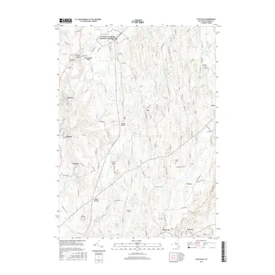
 1953 Stottville1955 Print · USGSColumbia County at mid-century reveals a landscape shaped by early American history and the valley's industrial waterways. Genealogists and historians can trace family roots through the Martin Van Buren Homestead, the Ichabod Crane Home, and landmarks like Brick Tavern.3 unique versions available
 - 1956 Map of Albany, 1968 Print
 1956 Albany1968 Print · USGSThe industrial heart of the Northeast is revealed in the mid-1950s, from the Hudson Valley to the Connecticut River. Researchers can trace the legacy of the Quabbin Reservoir, locate Westover Air Force Base, or follow the Rutland RR through the Green Mountains.2 unique versions available
 - 1957 Map of Albany
 1957 Albany1957 Print · USGSThe Tri-State region and Connecticut River Valley are captured here during a period of significant postwar growth and infrastructure expansion. Genealogists and historians can trace the rail-and-river economy through landmarks like the Boston and Maine railroad, Quabbin Reservoir, and Westover Air Force Base.
 - 1959 Map of Albany
 1959 Albany1959 Print · USGSThe Hudson and Connecticut River valleys are captured here during the late fifties, showing the region's dense rail networks and massive water projects. Researchers can trace the New York State Thruway or locate local landmarks like Mt Greylock and the Quabbin Reservoir.
 - 1960 Map of Claverack, 1962 Print
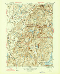
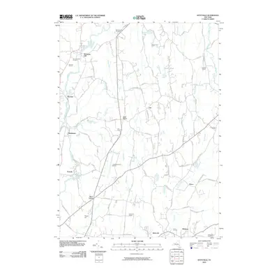
 1960 Claverack1962 Print · USGSColumbia County at the dawn of the sixties shows a landscape where historic mill villages meet the modern sweep of the parkway. Genealogists and historians can trace family locations near Churchtown, Philmont, and the rural School No 7 and Trinity Ch.4 unique versions available
 - 1962 Map of Albany
 1962 Albany1962 Print · USGSThe Hudson and Connecticut River valleys meet the Green Mountains and Berkshires in this mid-century overview of the Northeast. Genealogists and historians can trace the industrial hearts of Albany and Springfield or locate features like Quabbin Reservoir and Westover Air Force Base.
 - 1986 Map of Pittsfield
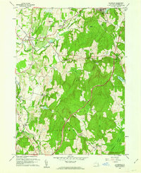
 1986 Pittsfield1986 Print · USGSThe Berkshires and the Hudson Valley meet in the mid-1980s, documenting a cross-border landscape of mountain forests and river towns. Genealogists and historians can trace the paths of Conrail and the Taconic State Parkway as they pass through Stockbridge, Great Barrington, and Kinderhook.2 unique versions available
 - 2010 Map of Claverack, 2010 Print
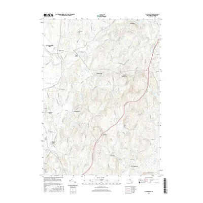
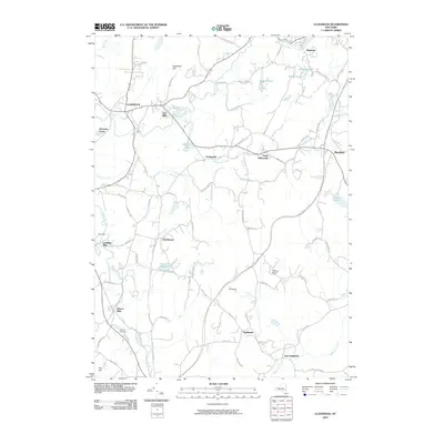 2010 Claverack2010 Print · USGSCovers Philmont, including Claverack, Greenport, and other nearby areas
 - 2010 Map of Stottville, 2010 Print
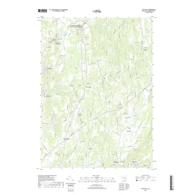
 2010 Stottville2010 Print · USGSCovers Philmont, including Kinderhook, Claverack, and other nearby areas
 - 2013 Map of Stottville, 2013 Print
 2013 Stottville2013 Print · USGSCovers Philmont, including Kinderhook, Claverack, and other nearby areas
 - 2013 Map of Claverack, 2013 Print
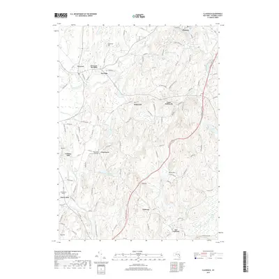
 2013 Claverack2013 Print · USGSCovers Philmont, including Claverack, Greenport, and other nearby areas
 - 2016 Map of Stottville, 2016 Print
 2016 Stottville2016 Print · USGSCovers Philmont, including Kinderhook, Claverack, and other nearby areas
 - 2016 Map of Claverack, 2016 Print
 2016 Claverack2016 Print · USGSCovers Philmont, including Claverack, Greenport, and other nearby areas
 - 2019 Map of Stottville, 2019 Print
 2019 Stottville2019 Print · USGSCovers Philmont, including Kinderhook, Claverack, and other nearby areas
 - 2019 Map of Claverack, 2019 Print
 2019 Claverack2019 Print · USGSCovers Philmont, including Claverack, Greenport, and other nearby areas
 - 2023 Map of Stottville, 2023 Print
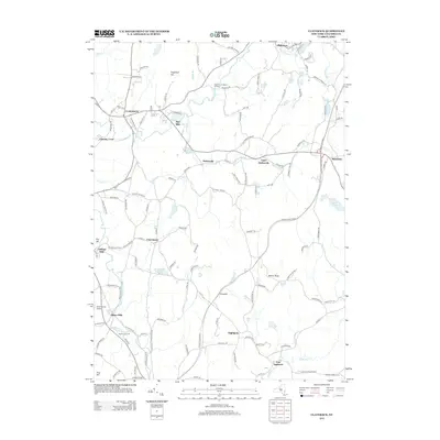
 2023 Stottville2023 Print · USGSStuyvesant Falls and the surrounding Columbia County hills are shown in this modern survey. Genealogists can trace family heritage through sites like Snyder Cem and Saint Marys Cem, or locate landmarks such as Brick Tavern.
 - 2023 Map of Claverack, 2023 Print
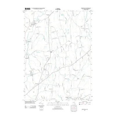
 2023 Claverack2023 Print · USGSColumbia County hamlets and historic parishes define the landscape in this contemporary survey of eastern New York. Genealogists and local historians can trace the foundations of Churchtown, Philmont, and Glenco Mills near sites like Saint Thomas Evangelical Lutheran Church.
End of results
Showing maps 1-24 of 24
Top cities near Philmont
- Schodack historical maps
- Catskill historical maps
- Red Hook historical maps
- Coxsackie historical maps
- Kinderhook historical maps
- Coeymans historical maps
See more
Frequently asked questions
- What are the different types of historical maps available for Philmont?
- What is the oldest map of Philmont?
- Where can I purchase historical maps of Philmont for my home or office?
- Where can I download high-res historical maps of Philmont?
- Are there historical topographic maps available for Philmont?
- Is there historical aerial imagery available for Philmont?
- Where are historical maps of Philmont sourced from?