Old Maps of Fraser, Delhi for Metal Detecting
Plan your next treasure hunt with 14 historic maps of Fraser. Find old homesites, ghost towns, trails, and gathering spots that may be lost to time — perfect for identifying promising metal detecting locations.
- Locate forgotten sites: Uncover places like long-lost settlements, abandoned rail lines, or gathering spots.
- Plan better hunts: Use map overlays combined with LiDAR or satellite views to narrow in on historically rich areas.
- Made for detectorists: Thousands of hobbyists use these maps to discover relics, coins, and hidden history.
Use these historic maps to boost your research and find new opportunities beneath the surface of Fraser.
Fraser, Delhi maps
(14)- 1922 Map of Andes, 1955 Print
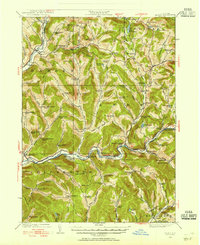 1922 Andes1955 Print · USGSThe East Branch Delaware River valley is captured in the 1920s before the creation of the Pepacton Reservoir. Researchers can trace the original locations of Pepacton, Shavertown, and Union Grove, alongside numerous rural schoolhouses like Basin Clove School and Arbuckle School.2 unique versions available
 - 1924 Map of Andes
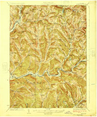 1924 Andes1924 Print · USGSDelaware County during the mid-twenties shows a landscape of mountain hollows and river valley life. Genealogists can locate family-named landmarks and local schoolhouses like Miller Hollow School, the settlement of Shavertown, and Cabin Hill Church.4 unique versions available
 - 1948 Map of Binghamton, 1980 Print
 1948 Binghamton1980 Print · USGSCentral New York and the Southern Tier thrive in the late 1940s as a hub of rail traffic and mountain industry. Researchers can trace historic transit lines like the Erie Railroad through Binghamton or find old valley settlements near Oneonta and Delhi.
 - 1950 Map of Binghamton
 1950 Binghamton1950 Print · USGSBinghamton and the surrounding Southern Tier are shown in the mid-century era, highlighting the intricate rail and river networks that drove local industry. Researchers can trace the path of the Erie Railroad and locate landmarks from Otsego Lake to Sidney Mountain.2 unique versions available
 - 1958 Map of Binghamton
 1958 Binghamton1958 Print · USGSCentral New York in the late fifties was a network of manufacturing cities and river valleys connected by vital rail lines. Genealogists and historians can trace family roots in Oneonta, Norwich, and Cooperstown or locate long-standing farms along Schoharie Creek.
 - 1963 Map of Binghamton
 1963 Binghamton1963 Print · USGSThe Southern Tier and Catskill peaks are shown in the early sixties as new reservoirs reshaped the valleys. Trace historic rail corridors like the Erie Lackawanna RR and explore lakeside settlements such as Cooperstown and Oneonta.
 - 1965 Map of Hamden, 1967 Print
 1965 Hamden1967 Print · USGSMid-century Delaware County life centers on the river valley between Hamden and De Lancey in this mid-1960s survey. Researchers can trace family-named landmarks through the steep terrain, from Arbuckle Hollow to the ridges of the Devils Backbone.2 unique versions available
 - 1982 Map of Hamden, 1983 Print
 1982 Hamden1983 Print · USGSDelaware County's river valleys and high ridges appear in detail during the early eighties, showing the traditional settlements along the West Branch Delaware River. Researchers can locate family landmarks like the Covered Bridge or trace the winding paths of Terry Clove Road and Bagley Brook.
 - 1986 Map of Pepacton Reservoir
 1986 Pepacton Reservoir1986 Print · USGSThe Catskills in the mid-eighties show a landscape shaped by the Pepacton Reservoir and protected wilderness. Local historians can trace mountain rail corridors like the Delaware & Ulster RR and locate high-elevation landmarks from Slide Mountain to Hunter Mountain.2 unique versions available
 - 2010 Map of Hamden, 2010 Print
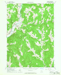
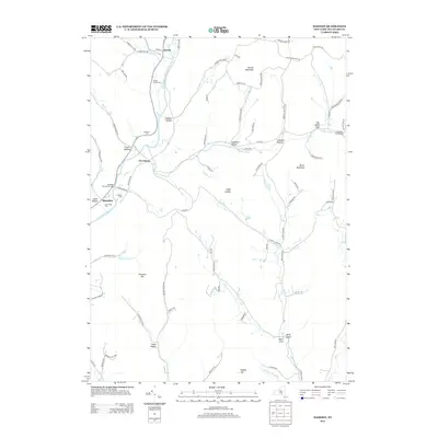
 2010 Hamden2010 Print · USGSCovers Fraser, including Walton, Delhi, and other nearby areas
 - 2013 Map of Hamden, 2013 Print
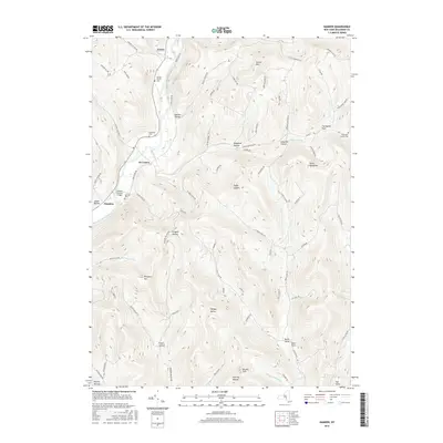
 2013 Hamden2013 Print · USGSCovers Fraser, including Walton, Delhi, and other nearby areas
 - 2016 Map of Hamden, 2016 Print
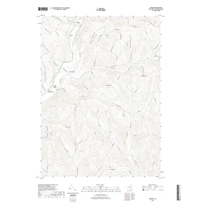
 2016 Hamden2016 Print · USGSCovers Fraser, including Walton, Delhi, and other nearby areas
 - 2019 Map of Hamden, 2019 Print
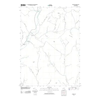
 2019 Hamden2019 Print · USGSCovers Fraser, including Walton, Delhi, and other nearby areas
 - 2023 Map of Hamden, 2023 Print
 2023 Hamden2023 Print · USGSDelaware County’s steep valleys and river hamlets are captured here in the early twenty-first century. Genealogists and hikers can trace the geography of Hamden and De Lancey or locate remote sites like Yendes Cem and Devils Backbone.
End of results
Showing maps 1-14 of 14
Top cities near Fraser
- Oneonta historical maps
- Walton historical maps
- Oneonta historical maps
- Delhi historical maps
- Middletown historical maps
- Davenport historical maps
See more
Frequently asked questions
- What are the different types of historical maps available for Fraser?
- What is the oldest map of Fraser?
- Where can I purchase historical maps of Fraser for my home or office?
- Where can I download high-res historical maps of Fraser?
- Are there historical topographic maps available for Fraser?
- Is there historical aerial imagery available for Fraser?
- Where are historical maps of Fraser sourced from?