2000s (21st Century) Maps of Tompkins, New York
Explore 30 historic maps of Tompkins from the 2000s (21st Century). These maps offer a rare glimpse into what life looked like during the 2000s — showing old roads, neighborhoods, homes, and landmarks that have changed or disappeared over time.
Whether you're researching your family's past, planning a metal detecting trip, or studying how Tompkins's landscape evolved across the 2000s, these high-resolution maps are a powerful tool for exploring the history of this region.
- Focus on a specific era: All maps on this page are from the 2000s, giving you a focused view of this time period.
- See what’s changed: Compare century-old streets, trails, and buildings to today's modern landscape using overlays and satellite layers.
- Research with precision: Use these maps for genealogy, historical research, land use analysis, or educational projects.
- View, download, or print: Maps are fully viewable online in high resolution, and can be downloaded or printed for your own records.
Start exploring Tompkins's history through authentic maps from the 2000s. This is your window into the past.
Tompkins, NY maps
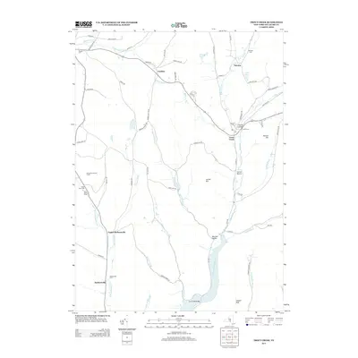
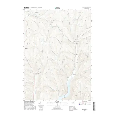
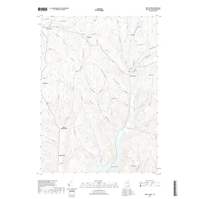
(30)- 2010 Map of Trout Creek, 2010 Print
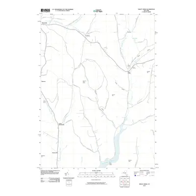 2010 Trout Creek2010 Print · USGSCovers Tompkins, including Deposit, Masonville, and other nearby areas
 - 2010 Map of Walton West, 2010 Print
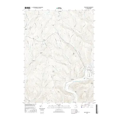
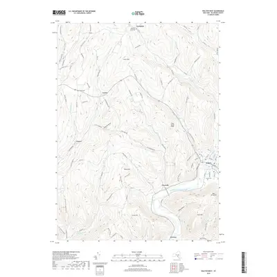
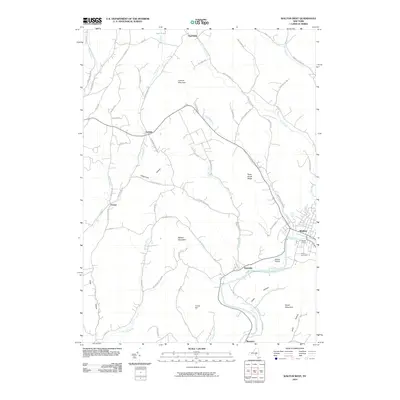 2010 Walton West2010 Print · USGSCovers Tompkins, including Sidney, Walton, and other nearby areas
 - 2010 Map of Readburn, 2010 Print
 2010 Readburn2010 Print · USGSCovers Tompkins, including Walton, Hancock, and other nearby areas
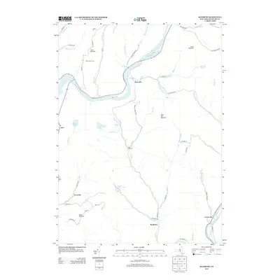
 - 2010 Map of Cannonsville Reservoir, 2010 Print
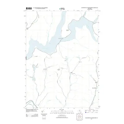
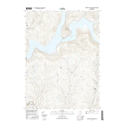
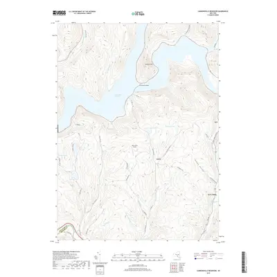
 2010 Cannonsville Reservoir2010 Print · USGSCovers Tompkins, including Hancock, Sanford, and other nearby areas
 - 2010 Map of Corbett, 2010 Print
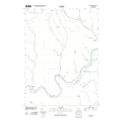 2010 Corbett2010 Print · USGSCovers Tompkins, including Walton, Hancock, and other nearby areas
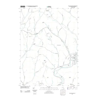
 - 2010 Map of Hancock, 2010 Print
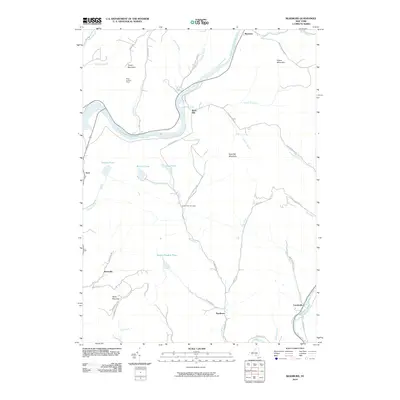
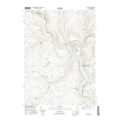
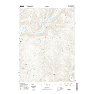
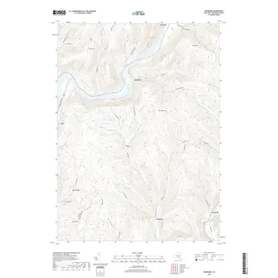
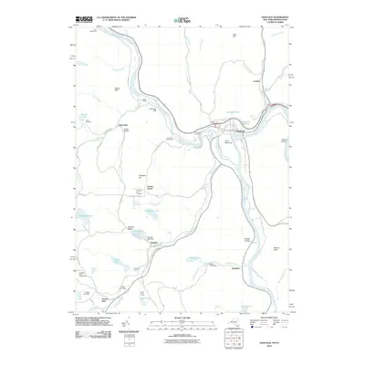 2010 Hancock2010 Print · USGSCovers Tompkins, including Hancock, Sanford, and other nearby areas
 - 2013 Map of Corbett, 2013 Print
 2013 Corbett2013 Print · USGSCovers Tompkins, including Walton, Hancock, and other nearby areas
 - 2013 Map of Cannonsville Reservoir, 2013 Print
 2013 Cannonsville Reservoir2013 Print · USGSCovers Tompkins, including Hancock, Sanford, and other nearby areas
 - 2013 Map of Trout Creek, 2013 Print
 2013 Trout Creek2013 Print · USGSCovers Tompkins, including Deposit, Masonville, and other nearby areas
 - 2013 Map of Walton West, 2013 Print
 2013 Walton West2013 Print · USGSCovers Tompkins, including Sidney, Walton, and other nearby areas
 - 2013 Map of Readburn, 2013 Print
 2013 Readburn2013 Print · USGSCovers Tompkins, including Walton, Hancock, and other nearby areas
 - 2013 Map of Hancock, 2013 Print
 2013 Hancock2013 Print · USGSCovers Tompkins, including Hancock, Sanford, and other nearby areas
 - 2016 Map of Hancock, 2016 Print
 2016 Hancock2016 Print · USGSCovers Tompkins, including Hancock, Sanford, and other nearby areas
 - 2016 Map of Walton West, 2016 Print
 2016 Walton West2016 Print · USGSCovers Tompkins, including Sidney, Walton, and other nearby areas
 - 2016 Map of Corbett, 2016 Print
 2016 Corbett2016 Print · USGSCovers Tompkins, including Walton, Hancock, and other nearby areas
 - 2016 Map of Trout Creek, 2016 Print
 2016 Trout Creek2016 Print · USGSCovers Tompkins, including Deposit, Masonville, and other nearby areas
 - 2016 Map of Cannonsville Reservoir, 2016 Print
 2016 Cannonsville Reservoir2016 Print · USGSCovers Tompkins, including Hancock, Sanford, and other nearby areas
 - 2016 Map of Readburn, 2016 Print
 2016 Readburn2016 Print · USGSCovers Tompkins, including Walton, Hancock, and other nearby areas
 - 2019 Map of Hancock, 2019 Print
 2019 Hancock2019 Print · USGSCovers Tompkins, including Hancock, Sanford, and other nearby areas
 - 2019 Map of Walton West, 2019 Print
 2019 Walton West2019 Print · USGSCovers Tompkins, including Sidney, Walton, and other nearby areas
 - 2019 Map of Trout Creek, 2019 Print
 2019 Trout Creek2019 Print · USGSCovers Tompkins, including Deposit, Masonville, and other nearby areas
 - 2019 Map of Readburn, 2019 Print
 2019 Readburn2019 Print · USGSCovers Tompkins, including Walton, Hancock, and other nearby areas
 - 2019 Map of Cannonsville Reservoir, 2019 Print
 2019 Cannonsville Reservoir2019 Print · USGSCovers Tompkins, including Hancock, Sanford, and other nearby areas
 - 2019 Map of Corbett, 2019 Print
 2019 Corbett2019 Print · USGSCovers Tompkins, including Walton, Hancock, and other nearby areas
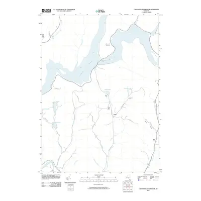
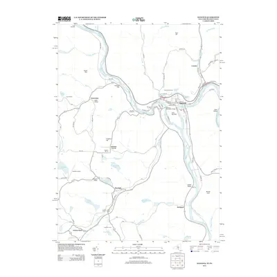
 - 2023 Map of Corbett, 2023 Print
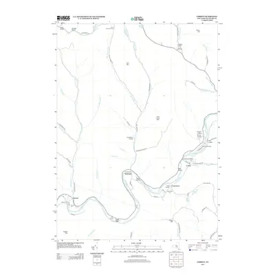
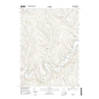
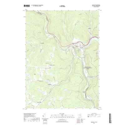
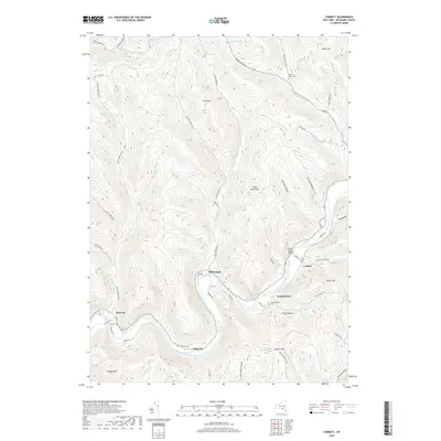
 2023 Corbett2023 Print · USGSSettlements along the East Branch Delaware River define this part of Delaware County in the early twenty-first century. Researchers can locate burial sites at Wilson Hollow Cem and trace the path of the West Delaware Aqueduct.
Showing maps 1-25 of 30
Top cities near Tompkins
- Sidney historical maps
- Walton historical maps
- Delhi historical maps
- Unadilla historical maps
- Sidney historical maps
- Bainbridge historical maps
See more
Top neighborhoods of Tompkins
- Kerry Siding historical maps
- Cleaver historical maps
- Apex historical maps
- Rock Rift historical maps
- Kelsey historical maps
- Trout Creek historical maps
See more
Frequently asked questions
- What are the different types of historical maps available for Tompkins?
- What is the oldest map of Tompkins?
- Where can I purchase historical maps of Tompkins for my home or office?
- Where can I download high-res historical maps of Tompkins?
- Are there historical topographic maps available for Tompkins?
- Is there historical aerial imagery available for Tompkins?
- Where are historical maps of Tompkins sourced from?