Old Maps of Kelsey, Tompkins for Hiking & Exploration
Hike through history with 14 historic maps of Kelsey. Explore old trails, ghost towns, and forgotten backroads — perfect for outdoor adventurers and local explorers.
- Rediscover forgotten places: Map out old mining camps, roads, and footpaths that no longer exist on modern maps.
- Layer with modern tools: Combine with LiDAR or satellite views to plan hikes through historical terrain.
- Made for exploration: Popular among hikers, overlanders, and local history lovers.
Use these maps to find adventure and explore the hidden past of Kelsey.
Kelsey, Tompkins maps
(14)- 1924 Map of Deposit, 1957 Print
 1924 Deposit1957 Print · USGSDelaware and Broome Counties are shown here in the mid-twenties, centered on the river-and-rail corridor near Deposit. Researchers can trace the original locations of communities like Cannonsville and Rock Royal, or find ancestral schoolhouses like Slow and Easy School.
 - 1926 Map of Deposit
 1926 Deposit1926 Print · USGSThe West Branch of the Delaware River winds through these hills in the mid-twenties, passing through the villages of Deposit and Cannonsville. Genealogists can trace dozens of rural school districts, including the Slow and Easy School, and find old homesteads near McClure Settlement.4 unique versions available
 - 1944 Map of Deposit
 1944 Deposit1944 Print · USGSDelaware and Broome Counties come alive in the mid-1940s, showing the river-valley communities before later reservoir projects transformed the landscape. Trace genealogical roots through dozens of rural landmarks like McClure Settlement, Rock Royal, and Hale Eddy.
 - 1948 Map of Binghamton, 1980 Print
 1948 Binghamton1980 Print · USGSCentral New York and the Southern Tier thrive in the late 1940s as a hub of rail traffic and mountain industry. Researchers can trace historic transit lines like the Erie Railroad through Binghamton or find old valley settlements near Oneonta and Delhi.
 - 1950 Map of Binghamton
 1950 Binghamton1950 Print · USGSBinghamton and the surrounding Southern Tier are shown in the mid-century era, highlighting the intricate rail and river networks that drove local industry. Researchers can trace the path of the Erie Railroad and locate landmarks from Otsego Lake to Sidney Mountain.2 unique versions available
 - 1958 Map of Binghamton
 1958 Binghamton1958 Print · USGSCentral New York in the late fifties was a network of manufacturing cities and river valleys connected by vital rail lines. Genealogists and historians can trace family roots in Oneonta, Norwich, and Cooperstown or locate long-standing farms along Schoharie Creek.
 - 1963 Map of Binghamton
 1963 Binghamton1963 Print · USGSThe Southern Tier and Catskill peaks are shown in the early sixties as new reservoirs reshaped the valleys. Trace historic rail corridors like the Erie Lackawanna RR and explore lakeside settlements such as Cooperstown and Oneonta.
 - 1965 Map of Cannonsville Reservoir, 1967 Print
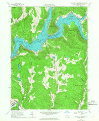 1965 Cannonsville Reservoir1967 Print · USGSThe West Branch Delaware River valley appears in the mid-1960s as the massive Cannonsville Reservoir transforms the landscape. Trace the local rail history along the Erie-Lackawanna RR or locate rural landmarks like Kelsey and the Kingswood Camp.3 unique versions available
 - 1985 Map of Binghamton, 1986 Print
 1985 Binghamton1986 Print · USGSThe Southern Tier during the mid-1980s shows a landscape of river-valley industry and expanding university campuses. Genealogists and local historians can trace family roots through riverside towns like Bainbridge, Sidney, and the Calvary Cem in the Binghamton area.2 unique versions available
 - 2010 Map of Cannonsville Reservoir, 2010 Print
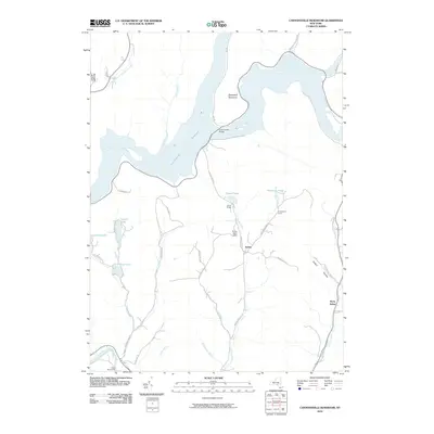 2010 Cannonsville Reservoir2010 Print · USGSDelaware County and the upper Delaware River region are shown here in the early twenty-first century, featuring the expansive Cannonsville Reservoir. Researchers can trace the local landscape through landmarks like the Initial Monument, the settlement at Kelsey, and the historic Kerry Siding.
 - 2013 Map of Cannonsville Reservoir, 2013 Print
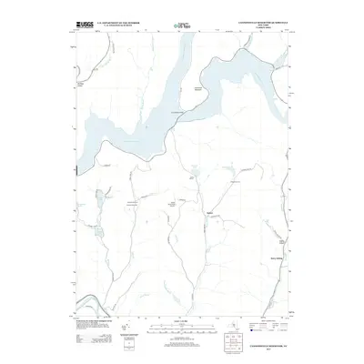 2013 Cannonsville Reservoir2013 Print · USGSThe Delaware County hills in the early twenty-first century are defined by the massive Cannonsville Reservoir and its surrounding watershed. Researchers can trace the local landscape from the Cannonsville Bridge to small communities like Kelsey and the Kerry Siding rail stop.
 - 2016 Map of Cannonsville Reservoir, 2016 Print
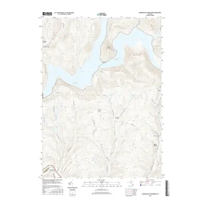 2016 Cannonsville Reservoir2016 Print · USGSDelaware County's highlands and the massive Cannonsville Reservoir are captured here in the mid-2010s. Researchers can trace the modern layout of rural settlements like Kelsey and Apex or locate the old rail-related site at Kerry Siding.
 - 2019 Map of Cannonsville Reservoir, 2019 Print
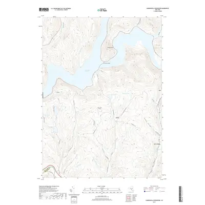 2019 Cannonsville Reservoir2019 Print · USGSDelaware County’s western highlands are captured here in the decade before the 2020s, centered on the massive Cannonsville Reservoir. Researchers can trace the legacy of remote settlements like Kelsey and Apex or locate landmarks like the White Birch Airport.
 - 2023 Map of Cannonsville Reservoir, 2023 Print
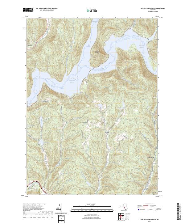 2023 Cannonsville Reservoir2023 Print · USGSThe western Catskills landscape of Delaware County is shown here in the 2020s, centered on the massive Cannonsville Reservoir and its surrounding peaks. Researchers can trace rural lineages through local landmarks like White Birch Airport and the settlements at Kelsey and Apex.
End of results
Showing maps 1-14 of 14
Top cities near Kelsey
- Sidney historical maps
- Walton historical maps
- Bainbridge historical maps
- Walton historical maps
- Afton historical maps
- Hancock historical maps
See more
Frequently asked questions
- What are the different types of historical maps available for Kelsey?
- What is the oldest map of Kelsey?
- Where can I purchase historical maps of Kelsey for my home or office?
- Where can I download high-res historical maps of Kelsey?
- Are there historical topographic maps available for Kelsey?
- Is there historical aerial imagery available for Kelsey?
- Where are historical maps of Kelsey sourced from?