Old Maps of Kerryville, Tompkins for Metal Detecting
Plan your next treasure hunt with 13 historic maps of Kerryville. Find old homesites, ghost towns, trails, and gathering spots that may be lost to time — perfect for identifying promising metal detecting locations.
- Locate forgotten sites: Uncover places like long-lost settlements, abandoned rail lines, or gathering spots.
- Plan better hunts: Use map overlays combined with LiDAR or satellite views to narrow in on historically rich areas.
- Made for detectorists: Thousands of hobbyists use these maps to discover relics, coins, and hidden history.
Use these historic maps to boost your research and find new opportunities beneath the surface of Kerryville.
Kerryville, Tompkins maps
(13)- 1923 Map of Walton
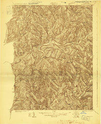 1923 Walton1923 Print · USGSDelaware County in the early 1920s is defined by the winding Delaware River and the busy New York Ontario and Western RR. Genealogists can locate dozens of rural school sites, from the Texas School to Carcass Brook School, alongside hamlets like Beerston and Rock Rift.3 unique versions available
 - 1925 Map of Walton
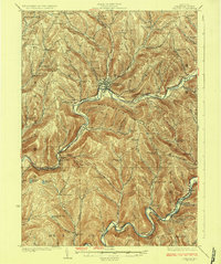 1925 Walton1925 Print · USGSDelaware County during the mid-1920s is a landscape of rugged river valleys and remote hill-country farming communities. Genealogists can trace family roots through numerous local landmarks like Knickerbocker School, the village of Shinhopple, and the rail stops of the New York Ontario and Western RR.5 unique versions available
 - 1948 Map of Binghamton, 1980 Print
 1948 Binghamton1980 Print · USGSCentral New York and the Southern Tier thrive in the late 1940s as a hub of rail traffic and mountain industry. Researchers can trace historic transit lines like the Erie Railroad through Binghamton or find old valley settlements near Oneonta and Delhi.
 - 1950 Map of Binghamton
 1950 Binghamton1950 Print · USGSBinghamton and the surrounding Southern Tier are shown in the mid-century era, highlighting the intricate rail and river networks that drove local industry. Researchers can trace the path of the Erie Railroad and locate landmarks from Otsego Lake to Sidney Mountain.2 unique versions available
 - 1958 Map of Binghamton
 1958 Binghamton1958 Print · USGSCentral New York in the late fifties was a network of manufacturing cities and river valleys connected by vital rail lines. Genealogists and historians can trace family roots in Oneonta, Norwich, and Cooperstown or locate long-standing farms along Schoharie Creek.
 - 1963 Map of Binghamton
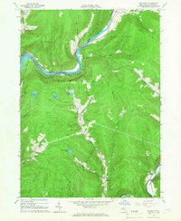
 1963 Binghamton1963 Print · USGSThe Southern Tier and Catskill peaks are shown in the early sixties as new reservoirs reshaped the valleys. Trace historic rail corridors like the Erie Lackawanna RR and explore lakeside settlements such as Cooperstown and Oneonta.
 - 1965 Map of Readburn, 1966 Print
 1965 Readburn1966 Print · USGSDelaware County's river valleys and forest preserves are shown here in the mid-sixties during a period of significant hydrological change. Researchers can trace rural life at Readburn and Beerston, or locate family sites like the Readburn Cem and Community Full Gospel Ch.3 unique versions available
 - 1985 Map of Binghamton, 1986 Print
 1985 Binghamton1986 Print · USGSThe Southern Tier during the mid-1980s shows a landscape of river-valley industry and expanding university campuses. Genealogists and local historians can trace family roots through riverside towns like Bainbridge, Sidney, and the Calvary Cem in the Binghamton area.2 unique versions available
 - 2010 Map of Readburn, 2010 Print
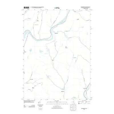
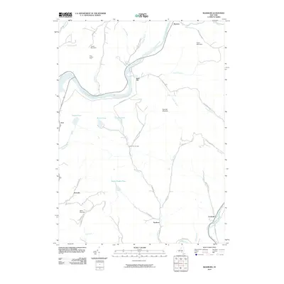 2010 Readburn2010 Print · USGSCovers Kerryville, including Walton, Hancock, and other nearby areas
 - 2013 Map of Readburn, 2013 Print
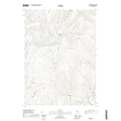
 2013 Readburn2013 Print · USGSCovers Kerryville, including Walton, Hancock, and other nearby areas
 - 2016 Map of Readburn, 2016 Print
 2016 Readburn2016 Print · USGSCovers Kerryville, including Walton, Hancock, and other nearby areas
 - 2019 Map of Readburn, 2019 Print
 2019 Readburn2019 Print · USGSCovers Kerryville, including Walton, Hancock, and other nearby areas
 - 2023 Map of Readburn, 2023 Print
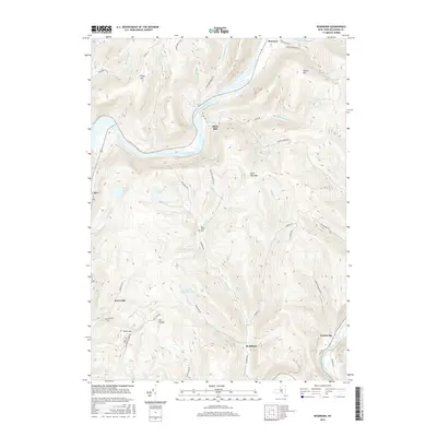
 2023 Readburn2023 Print · USGSDelaware County’s river valleys and mountain peaks are captured here in the contemporary era. Researchers can trace family-named sites and infrastructure such as the West Delaware Aqueduct, Read Creek Cem, and the small settlement at Readburn.
End of results
Showing maps 1-13 of 13
Top cities near Kerryville
- Sidney historical maps
- Walton historical maps
- Delhi historical maps
- Bainbridge historical maps
- Callicoon historical maps
- Walton historical maps
See more
Frequently asked questions
- What are the different types of historical maps available for Kerryville?
- What is the oldest map of Kerryville?
- Where can I purchase historical maps of Kerryville for my home or office?
- Where can I download high-res historical maps of Kerryville?
- Are there historical topographic maps available for Kerryville?
- Is there historical aerial imagery available for Kerryville?
- Where are historical maps of Kerryville sourced from?