Old Maps of Pine Plains, New York for Genealogy
Trace your family roots with 37 historic maps of Pine Plains. These high-res maps reveal old neighborhoods, homesites, landmarks, and streets — helping you uncover where your ancestors lived and how the area evolved over time.
- Explore historic neighborhoods: Identify where your relatives may have lived in the 1800s or 1900s.
- Compare maps over time: Trace the changes in streets, buildings, and landmarks for multi-generational research.
- Perfect for genealogy & ancestry research: Used by family historians and researchers to map out lineage and migration.
These maps are an incredible resource for exploring your personal connection to Pine Plains's past.
Pine Plains, NY maps
(37)- 1899 Map of Millbrook, 1956 Print
 1899 Millbrook1956 Print · USGSDutchess County enters a period of high rail connectivity in the late nineteenth century, as iron and agriculture drive local growth. Genealogists and historians can trace the paths of four railroads through hamlets like Millerton, Bangall, and Amenia Union.
 - 1902 Map of Millbrook
 1902 Millbrook1902 Print · USGSEastern Dutchess County at the turn of the century was a bustling corridor of intersecting railroads and valley settlements. Genealogists and rail historians can trace the paths of the Central New England R. R. and find local landmarks like Lithgow, Shekomeko, and Hammertown.10 unique versions available
 - 1902 Map of Copake, 1954 Print
 1902 Copake1954 Print · USGSColumbia County at the turn of the century shows a landscape defined by industry and iron, before modern highways bypassed these hillside hamlets. Trace the rail-and-mine economy through Copake Ironworks, the Weed Mines, and the busy junction at Boston Corners.
 - 1904 Map of Copake
 1904 Copake1904 Print · USGSColumbia County at the turn of the century shows a landscape defined by deep-rooted industry and an extensive rail network. Researchers can trace the legacy of mining and milling at Ancram Leadmines, Weed Mines, and the Spaulding Furnace along the Roeliff Jansen Kill.7 unique versions available
 - 1947 Map of Hartford, 1955 Print
 1947 Hartford1955 Print · USGSSouthern New England and the Hudson Valley are shown in detail during the post-war expansion era. Genealogists and researchers can trace local landmarks from the State Capitol and Yale University to the Stratford Lighthouse and Woodlawn Cem.2 unique versions available
 - 1948 Map of Ancram
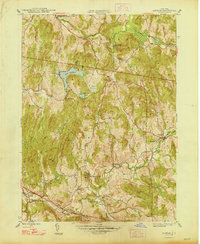 1948 Ancram1948 Print · USGSColumbia County in the late 1940s remained a landscape of dispersed hamlets and rural school districts. Researchers can trace historic industry at Spaulding Furnace and locate family landmarks like Vedder Ch, Silvernails, and New Forge.2 unique versions available
 - 1948 Map of Hartford
 1948 Hartford1948 Print · USGSSouthern New England is captured here in the late 1940s, showcasing a landscape of thriving industrial cities and developing parkways. Genealogists and historians can trace the rail networks of the New York New Haven and Hartford RR or locate coastal defense sites like Fort Terry and Camp Shanks.2 unique versions available
 - 1948 Map of Pine Plains
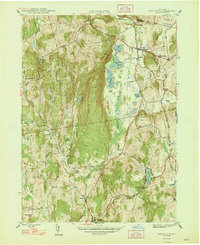 1948 Pine Plains1948 Print · USGSMid-century Dutchess County is captured here in a moment of quiet transition, showing the rural landscape before modern development. Genealogists can locate family-named landmarks like Pachin Mills, Old Attlebury, and rural schoolhouses such as Bear Market Sch.
 - 1948 Map of Albany, 1951 Print
 1948 Albany1951 Print · USGSThe Hudson and Connecticut River valleys are captured here in the late 1940s, showing the vital rail and water corridors of the Northeast. You can trace the Boston and Maine tracks past Mt Greylock or locate early settlements like Great Barrington and Bennington.
 - 1955 Map of Millerton, 1957 Print
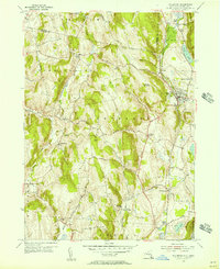 1955 Millerton1957 Print · USGSThe borderlands of New York and Connecticut appear here in the mid-1950s, showing a landscape defined by dairy farms and railroad junctions. Genealogists and local historians can trace the New York Central line through stops like Coleman Station and Sharon Station, or locate family sites at Irondale Cem and Bryan Cem.4 unique versions available
 - 1956 Map of Albany, 1968 Print
 1956 Albany1968 Print · USGSThe industrial heart of the Northeast is revealed in the mid-1950s, from the Hudson Valley to the Connecticut River. Researchers can trace the legacy of the Quabbin Reservoir, locate Westover Air Force Base, or follow the Rutland RR through the Green Mountains.2 unique versions available
 - 1957 Map of Albany
 1957 Albany1957 Print · USGSThe Tri-State region and Connecticut River Valley are captured here during a period of significant postwar growth and infrastructure expansion. Genealogists and historians can trace the rail-and-river economy through landmarks like the Boston and Maine railroad, Quabbin Reservoir, and Westover Air Force Base.
 - 1959 Map of Albany
 1959 Albany1959 Print · USGSThe Hudson and Connecticut River valleys are captured here during the late fifties, showing the region's dense rail networks and massive water projects. Researchers can trace the New York State Thruway or locate local landmarks like Mt Greylock and the Quabbin Reservoir.
 - 1960 Map of Ancram, 1962 Print
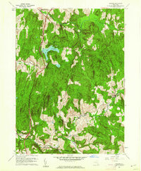 1960 Ancram1962 Print · USGSColumbia and Dutchess County rural life is detailed here as it stood in the early sixties, centered on the historic settlements and waterways of the Hudson Highlands. Genealogists and historians can trace family locations near Ancram Union Cem or locate old industrial sites like Spaulding Furnace and New Forge.4 unique versions available
 - 1960 Map of Pine Plains, 1963 Print
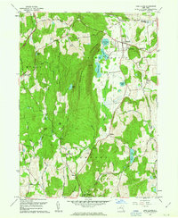 1960 Pine Plains1963 Print · USGSNorthern Dutchess County remains a landscape of glacial lakes and mountain ridges in the early sixties. Genealogists and local historians can trace family-named sites like Conklin Hill or locate the Church of the Regeneration and Evergreen Cem in Pine Plains.4 unique versions available
 - 1961 Map of Hartford
 1961 Hartford1961 Print · USGSSouthern New England and the Hudson Valley are shown here in the mid-fifties, capturing a landscape of booming coastal cities and interior hill towns. Researchers can trace the legacy of the New York New Haven and Hartford rail corridor and find strategic sites like Camp Shanks and Fort Michie.
 - 1962 Map of Albany
 1962 Albany1962 Print · USGSThe Hudson and Connecticut River valleys meet the Green Mountains and Berkshires in this mid-century overview of the Northeast. Genealogists and historians can trace the industrial hearts of Albany and Springfield or locate features like Quabbin Reservoir and Westover Air Force Base.
 - 1962 Map of Hartford, 1971 Print
 1962 Hartford1971 Print · USGSSouthern New England and the Hudson Valley are shown in the early sixties, as suburban growth reached into the foothills. Trace the path of the New York New Haven & Hartford RR and find landmarks like Camp Nathan Hale and Gillette Castle State Park.3 unique versions available
 - 1965 Map of Hartford
 1965 Hartford1965 Print · USGSSouthern New England and the Hudson Valley are shown here during the mid-sixties expansion of the Interstate era. Trace the path of the New York New Haven & Hartford RR or locate historic landmarks like West Point Military Reservation and the Merritt Parkway.2 unique versions available
 - 1985 Map of Waterbury, 1986 Print
 1985 Waterbury1986 Print · USGSThe Western Connecticut highlands and the Hudson Valley are captured in the mid-1980s, showing a landscape of deep forests and industrial river towns. Genealogists can trace family connections from Waterbury up through Litchfield and Torrington, while exploring the vast Barkhamsted Reservoir and Candlewood Lake basins.
 - 1986 Map of Pittsfield
 1986 Pittsfield1986 Print · USGSThe Berkshires and the Hudson Valley meet in the mid-1980s, documenting a cross-border landscape of mountain forests and river towns. Genealogists and historians can trace the paths of Conrail and the Taconic State Parkway as they pass through Stockbridge, Great Barrington, and Kinderhook.2 unique versions available
 - 1993 Map of Waterbury
 1993 Waterbury1993 Print · USGSWestern Connecticut and the Hudson Valley appear in the early nineties as a landscape of established industrial cities and deep forest preserves. Researchers can trace the rail corridors of the Metro-North Railroad or locate family sites near the Taft School and Riverside Cemetery.
 - 2010 Map of Ancram, 2010 Print
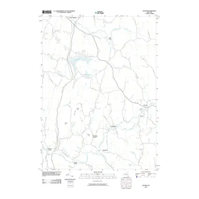 2010 Ancram2010 Print · USGSColumbia County's rural hamlets and creek-side settlements are detailed here in the early twenty-first century. Genealogists and historians can trace family locations near Ancram Old Cemetery or the sites of Spaulding Furnace and Silvernails.
 - 2010 Map of Millerton, 2010 Print
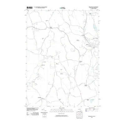 2010 Millerton2010 Print · USGSDutchess County is shown here in the early twenty-first century, capturing a landscape of rural hamlets and upland farms along the Connecticut border. Researchers can trace ancestral sites at the Smithfield Burying Grounds or locate early rail hubs at Sharon Station and Coleman Station.
 - 2010 Map of Pine Plains, 2010 Print
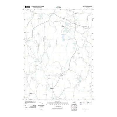 2010 Pine Plains2010 Print · USGSDutchess County's northern valley is captured here in the early twenty-first century, showing a landscape defined by prominent ridges and historic hamlets. Researchers can trace the local heritage of rural settlements like Pachin Mills, Lafayetteville, and Bangall alongside the waters of Thompson Pond.
Showing maps 1-25 of 37
Top cities near Pine Plains
- Hyde Park historical maps
- Catskill historical maps
- Red Hook historical maps
- Pleasant Valley historical maps
- Dover historical maps
- Rhinebeck historical maps
See more
Top neighborhoods of Pine Plains
- Mount Ross historical maps
- Pulvers Corners historical maps
- Bethel historical maps
- Pachin Mills historical maps
- Hammertown historical maps
Frequently asked questions
- What are the different types of historical maps available for Pine Plains?
- What is the oldest map of Pine Plains?
- Where can I purchase historical maps of Pine Plains for my home or office?
- Where can I download high-res historical maps of Pine Plains?
- Are there historical topographic maps available for Pine Plains?
- Is there historical aerial imagery available for Pine Plains?
- Where are historical maps of Pine Plains sourced from?