2000s (21st Century) Maps of Washington, New York
Explore 25 historic maps of Washington from the 2000s (21st Century). These maps offer a rare glimpse into what life looked like during the 2000s — showing old roads, neighborhoods, homes, and landmarks that have changed or disappeared over time.
Whether you're researching your family's past, planning a metal detecting trip, or studying how Washington's landscape evolved across the 2000s, these high-resolution maps are a powerful tool for exploring the history of this region.
- Focus on a specific era: All maps on this page are from the 2000s, giving you a focused view of this time period.
- See what’s changed: Compare century-old streets, trails, and buildings to today's modern landscape using overlays and satellite layers.
- Research with precision: Use these maps for genealogy, historical research, land use analysis, or educational projects.
- View, download, or print: Maps are fully viewable online in high resolution, and can be downloaded or printed for your own records.
Start exploring Washington's history through authentic maps from the 2000s. This is your window into the past.
Washington, NY maps
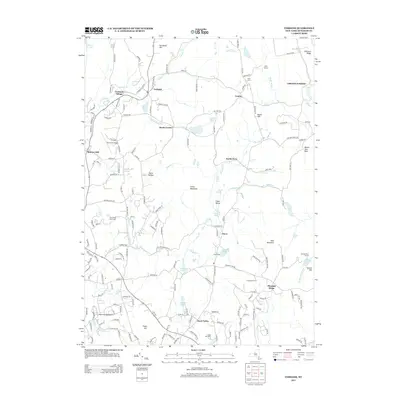
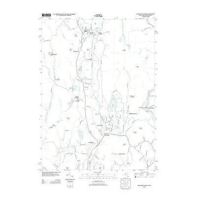
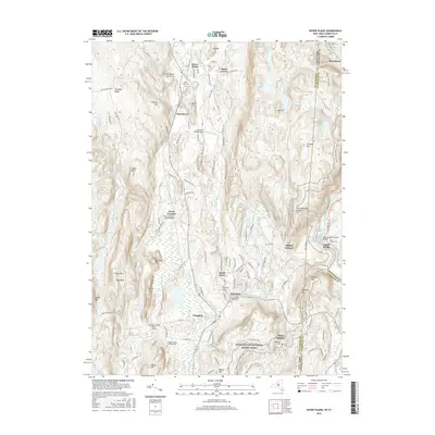
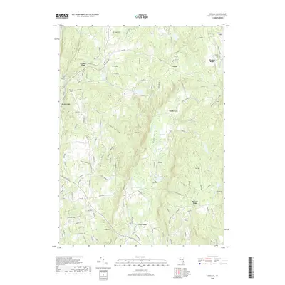
(25)- 2010 Map of Verbank, 2010 Print
 2010 Verbank2010 Print · USGSCovers Washington, including La Grange, Beekman, and other nearby areas
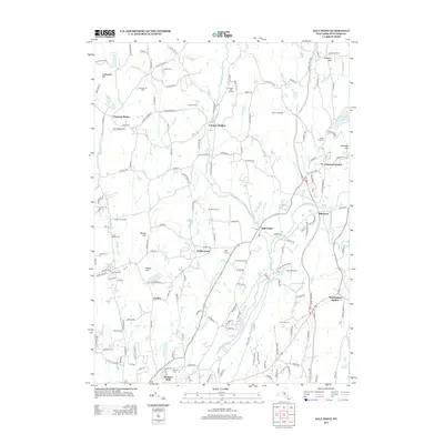
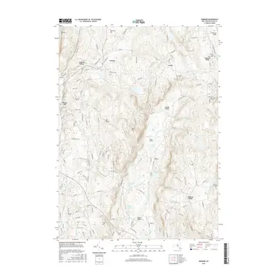
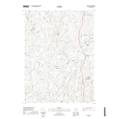
 - 2010 Map of Salt Point, 2010 Print
 2010 Salt Point2010 Print · USGSCovers Washington, including Hyde Park, Pleasant Valley, and other nearby areas
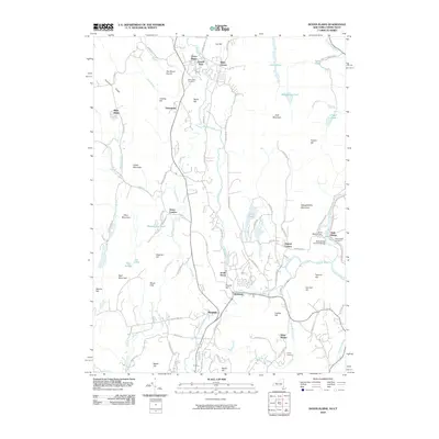
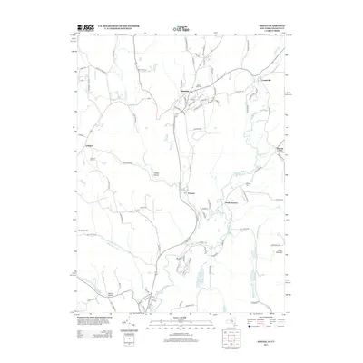
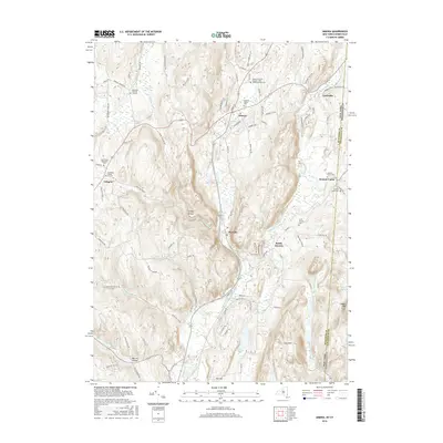
 - 2010 Map of Amenia, 2010 Print
 2010 Amenia2010 Print · USGSCovers Washington, including Dover, Amenia, and other nearby areas
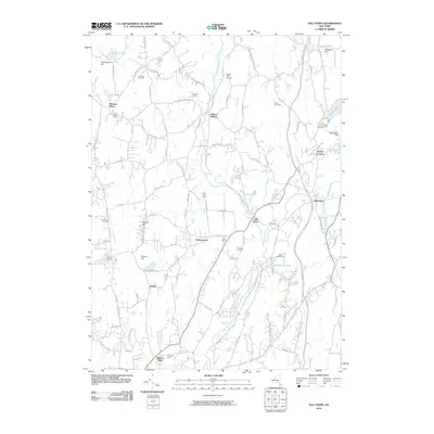
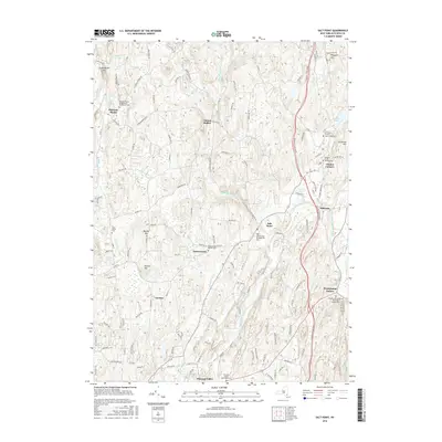
 - 2010 Map of Dover Plains, 2010 Print
 2010 Dover Plains2010 Print · USGSCovers Washington, including Dover, New Milford, and other nearby areas
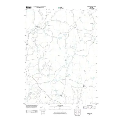
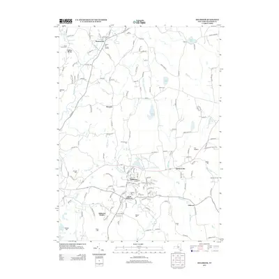
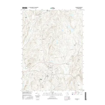
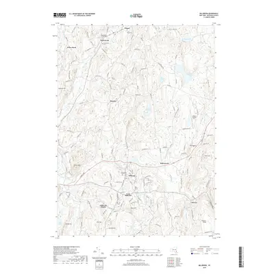
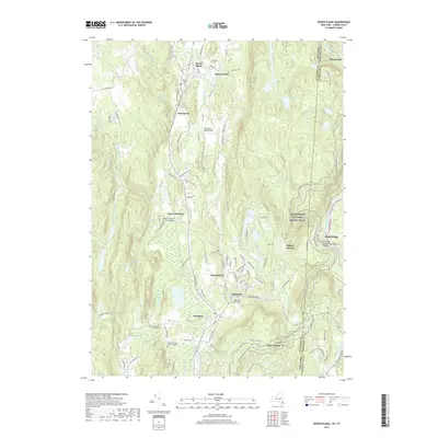
 - 2010 Map of Millbrook, 2010 Print
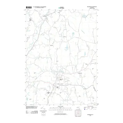 2010 Millbrook2010 Print · USGSCovers Washington, including Pleasant Valley, Stanford, and other nearby areas
 - 2013 Map of Verbank, 2013 Print
 2013 Verbank2013 Print · USGSCovers Washington, including La Grange, Beekman, and other nearby areas
 - 2013 Map of Salt Point, 2013 Print
 2013 Salt Point2013 Print · USGSCovers Washington, including Hyde Park, Pleasant Valley, and other nearby areas
 - 2013 Map of Millbrook, 2013 Print
 2013 Millbrook2013 Print · USGSCovers Washington, including Pleasant Valley, Stanford, and other nearby areas
 - 2013 Map of Amenia, 2013 Print
 2013 Amenia2013 Print · USGSCovers Washington, including Dover, Amenia, and other nearby areas
 - 2013 Map of Dover Plains, 2013 Print
 2013 Dover Plains2013 Print · USGSCovers Washington, including Dover, New Milford, and other nearby areas
 - 2016 Map of Verbank, 2016 Print
 2016 Verbank2016 Print · USGSCovers Washington, including La Grange, Beekman, and other nearby areas
 - 2016 Map of Millbrook, 2016 Print
 2016 Millbrook2016 Print · USGSCovers Washington, including Pleasant Valley, Stanford, and other nearby areas
 - 2016 Map of Salt Point, 2016 Print
 2016 Salt Point2016 Print · USGSCovers Washington, including Hyde Park, Pleasant Valley, and other nearby areas
 - 2016 Map of Dover Plains, 2016 Print
 2016 Dover Plains2016 Print · USGSCovers Washington, including Dover, New Milford, and other nearby areas
 - 2016 Map of Amenia, 2016 Print
 2016 Amenia2016 Print · USGSCovers Washington, including Dover, Amenia, and other nearby areas
 - 2019 Map of Amenia, 2019 Print
 2019 Amenia2019 Print · USGSCovers Washington, including Dover, Amenia, and other nearby areas
 - 2019 Map of Millbrook, 2019 Print
 2019 Millbrook2019 Print · USGSCovers Washington, including Pleasant Valley, Stanford, and other nearby areas
 - 2019 Map of Verbank, 2019 Print
 2019 Verbank2019 Print · USGSCovers Washington, including La Grange, Beekman, and other nearby areas
 - 2019 Map of Salt Point, 2019 Print
 2019 Salt Point2019 Print · USGSCovers Washington, including Hyde Park, Pleasant Valley, and other nearby areas
 - 2019 Map of Dover Plains, 2019 Print
 2019 Dover Plains2019 Print · USGSCovers Washington, including Dover, New Milford, and other nearby areas
 - 2023 Map of Dover Plains, 2023 Print
 2023 Dover Plains2023 Print · USGSThe Dutchess County borderlands come into focus in this contemporary survey of the Tenmile River valley. Genealogists and hikers can trace family roots at the Hoag Family Burial Ground or follow the Appalachian National Scenic Trail past Wingdale and Dover Plains.
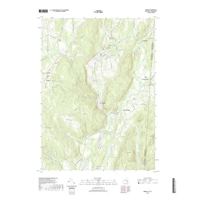
 - 2023 Map of Amenia, 2023 Print
 2023 Amenia2023 Print · USGSDutchess County's eastern borderlands remain defined by historic valley settlements and the winding Tenmile River. Genealogists can trace deep roots through numerous sites like the Amenia Island Cem, Northrup Burial Ground, and Amenia Union.
 - 2023 Map of Salt Point, 2023 Print
 2023 Salt Point2023 Print · USGSDutchess County's rural heartland is meticulously detailed in this recent survey of the Wappinger Creek watershed. Local historians can locate ancestral landmarks like the Orthodox Friends Meeting House, Crum Elbow Cem, and the settlement at Salt Point.
 - 2023 Map of Verbank, 2023 Print
 2023 Verbank2023 Print · USGSCentral Dutchess County near the turn of the century shows a landscape of upland ridges and narrow valleys. Genealogists can trace family names through the Chestnut Ridge Friends Cem and local hamlets like Moores Mill and Verbank Village.
 - 2023 Map of Millbrook, 2023 Print
 2023 Millbrook2023 Print · USGSIn the heart of Dutchess County during the 2020s, the village of Millbrook sits at the center of a landscape defined by rolling ridges and historic crossroads. Genealogists and local historians can trace family burial sites at Nine Partners Cem and Saint Mary's Cem or locate the quiet corners of Shunpike and Mabbettsville.
End of results
Showing maps 1-25 of 25
Top cities near Washington
- Poughkeepsie historical maps
- Poughkeepsie historical maps
- East Fishkill historical maps
- Wappinger historical maps
- Hyde Park historical maps
- La Grange historical maps
See more
Top neighborhoods of Washington
- Lithgow historical maps
- Littlerest historical maps
- Millbrook Heights historical maps
- Shunpike historical maps
- South Millbrook historical maps
- Mabbettsville historical maps
See more
Frequently asked questions
- What are the different types of historical maps available for Washington?
- What is the oldest map of Washington?
- Where can I purchase historical maps of Washington for my home or office?
- Where can I download high-res historical maps of Washington?
- Are there historical topographic maps available for Washington?
- Is there historical aerial imagery available for Washington?
- Where are historical maps of Washington sourced from?