2000s (21st Century) Maps of Seneca Babcock, Buffalo
Explore 10 historic maps of Seneca Babcock from the 2000s (21st Century). These maps offer a rare glimpse into what life looked like during the 2000s — showing old roads, neighborhoods, homes, and landmarks that have changed or disappeared over time.
Whether you're researching your family's past, planning a metal detecting trip, or studying how Seneca Babcock's landscape evolved across the 2000s, these high-resolution maps are a powerful tool for exploring the history of this region.
- Focus on a specific era: All maps on this page are from the 2000s, giving you a focused view of this time period.
- See what’s changed: Compare century-old streets, trails, and buildings to today's modern landscape using overlays and satellite layers.
- Research with precision: Use these maps for genealogy, historical research, land use analysis, or educational projects.
- View, download, or print: Maps are fully viewable online in high resolution, and can be downloaded or printed for your own records.
Start exploring Seneca Babcock's history through authentic maps from the 2000s. This is your window into the past.
Seneca Babcock, Buffalo maps
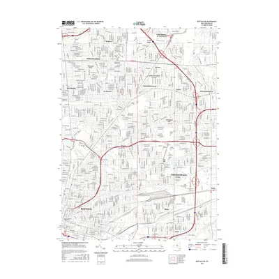
(10)- 2010 Map of Buffalo NE, 2010 Print
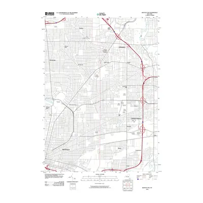 2010 Buffalo NE2010 Print · USGSCovers Seneca Babcock, including Buffalo, Amherst, and other nearby areas
 - 2010 Map of Buffalo SE, 2010 Print
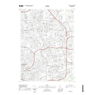
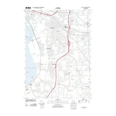 2010 Buffalo SE2010 Print · USGSCovers Seneca Babcock, including Buffalo, Cheektowaga, and other nearby areas
 - 2013 Map of Buffalo NE, 2013 Print
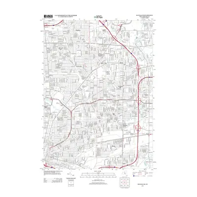 2013 Buffalo NE2013 Print · USGSCovers Seneca Babcock, including Buffalo, Amherst, and other nearby areas
 - 2013 Map of Buffalo SE, 2013 Print
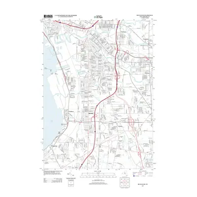 2013 Buffalo SE2013 Print · USGSCovers Seneca Babcock, including Buffalo, Cheektowaga, and other nearby areas
 - 2016 Map of Buffalo NE, 2016 Print
 2016 Buffalo NE2016 Print · USGSCovers Seneca Babcock, including Buffalo, Amherst, and other nearby areas
 - 2016 Map of Buffalo SE, 2016 Print
 2016 Buffalo SE2016 Print · USGSCovers Seneca Babcock, including Buffalo, Cheektowaga, and other nearby areas
 - 2019 Map of Buffalo NE, 2019 Print
 2019 Buffalo NE2019 Print · USGSCovers Seneca Babcock, including Buffalo, Amherst, and other nearby areas
 - 2019 Map of Buffalo SE, 2019 Print
 2019 Buffalo SE2019 Print · USGSCovers Seneca Babcock, including Buffalo, Cheektowaga, and other nearby areas
 - 2023 Map of Buffalo SE, 2023 Print
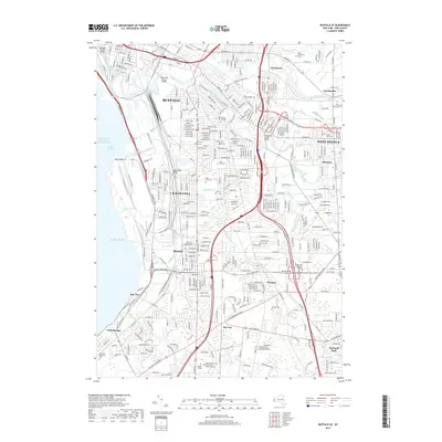
 2023 Buffalo SE2023 Print · USGSThe suburbs south of Buffalo are shown in detail during the early 2020s, highlighting the area's complex water and transit networks. Genealogists can trace family sites at Saint Matthew's Cem and Mount Hope Cem or explore the settlements of Blasdell and Windom.
 - 2023 Map of Buffalo NE, 2023 Print
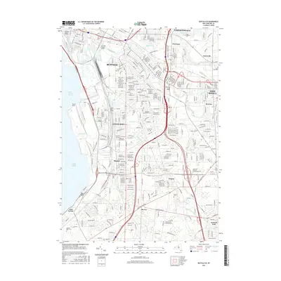
 2023 Buffalo NE2023 Print · USGSErie County's northeastern suburbs show a dense landscape of academic institutions and historic cemeteries in this recent survey. Genealogists and local historians can trace family plots at Mount Calvary Cem and Holy Sepulchre Cem or locate the sprawling University At Buffalo.
End of results
Showing maps 1-10 of 10
Frequently asked questions
- What are the different types of historical maps available for Seneca Babcock?
- What is the oldest map of Seneca Babcock?
- Where can I purchase historical maps of Seneca Babcock for my home or office?
- Where can I download high-res historical maps of Seneca Babcock?
- Are there historical topographic maps available for Seneca Babcock?
- Is there historical aerial imagery available for Seneca Babcock?
- Where are historical maps of Seneca Babcock sourced from?