Old Maps of Elizabethtown, New York
Explore 46 old maps of Elizabethtown, spanning from 1894 to today. These high-resolution historic maps reveal how streets, neighborhoods, landmarks, and natural features evolved over time — perfect for genealogy, metal detecting, research, and local history exploration.
What you can do with these maps:
- See how Elizabethtown changed over time: Compare historical maps to modern-day views to trace roads, homesites, rail lines & more.
- View detailed metadata: Each map includes creators, publishers, year, scale, and archive source.
- Overlay maps with satellite & LiDAR: Visualize the past alongside modern tools to explore terrain & human change.
- Trusted historical sources: Maps sourced from the USGS, Library of Congress, and other archives.
- Access maps your way: View online, download high-res files, or order prints for personal or research use.
Start exploring old maps of Elizabethtown to uncover forgotten places, hidden landmarks, and the deep history beneath your feet.
Elizabethtown, NY maps
(46)- 1894 Map of Elizabethtown
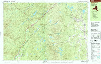
 1894 Elizabethtown1894 Print · USGSThe Adirondack high country of Essex County is captured here in the 1890s, showcasing a landscape defined by mountain peaks and the iron industry. Trace the early rail lines of the L. C. & M. R. R. into Mineville or locate vanished sites like Euba Mills and New Russia.2 unique versions available
 - 1895 Map of Elizabethtown
 1895 Elizabethtown1895 Print · USGSEssex County in the 1890s is shown here as a landscape of timber, iron ore, and river-valley hamlets. Genealogists and historians can trace the early rail corridor of the L.C. & M. R.R. or locate family sites in Mineville, New Russia, and Moriah Center.
 - 1895 Map of Ausable
 1895 Ausable1895 Print · USGSThe Adirondack foothills come alive in the late nineteenth century as the river-and-rail economy takes hold. Trace the industrial footprint of Ausable Forks and find vanished landmarks like Towers Forge and the historic Stickney Bridge.2 unique versions available
 - 1901 Map of Elizabethtown
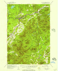
 1901 Elizabethtown1901 Print · USGSEssex County's high peaks and mining districts are captured here at the turn of the century, when the valley roads and mountain notches were the primary arteries of travel. Genealogists and historians can trace old community life in Elizabethtown, the industrial roots of Mineville, and the remote logging and mill sites at Euba Mills.9 unique versions available
 - 1903 Map of Ausable
 1903 Ausable1903 Print · USGSThe Adirondack foothills come to life at the turn of the century as industrial hamlets and mountain outposts follow the river forks. Researchers can trace the D. and H. C. Co. R. R. through Ausable Forks and find family-named landmarks like Towers Forge and the Willey House.7 unique versions available
 - 1950 Map of Lake Champlain
 1950 Lake Champlain1950 Print · USGSThe Lake Champlain valley and its surrounding peaks are captured in detail during the late 1940s, showing the vital rail and road connections between New York and Vermont. Researchers can trace the routes of the Central Vermont Railway or locate old industrial centers like Mineville and Witherbee.2 unique versions available
 - 1953 Map of Au Sable Forks, 1957 Print
 1953 Au Sable Forks1957 Print · USGSThe Adirondack foothills in the early fifties reveal a landscape where river industry meets mountain wilderness. Researchers can trace historic iron-working sites like Ore Mines and Soper Kiln, or locate family landmarks such as Stevens Landing and North Jay Cem.3 unique versions available
 - 1955 Map of Elizabethtown, 1957 Print
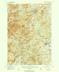 1955 Elizabethtown1957 Print · USGSThe Adirondack iron mining district and the high peaks of Essex County are captured here in the mid-fifties. Researchers can trace the industrial footprint of the Fisher Hill Iron Mine and the mining communities of Witherbee and Mineville alongside the wilderness of Giant Mtn.5 unique versions available
 - 1958 Map of Lake Champlain
 1958 Lake Champlain1958 Print · USGSThe Champlain Valley and surrounding high peaks are captured here in the late fifties, showcasing the cross-border region from the Adirondacks to the Green Mountains. Researchers can trace historic rail routes like the Rutland Railway or locate old valley settlements such as Keeseville and Vergennes.2 unique versions available
 - 1962 Map of Lake Champlain, 1975 Print
 1962 Lake Champlain1975 Print · USGSLake Champlain and the high peaks of the Adirondacks and Green Mountains are captured here during the mid-twentieth century. Researchers can trace the industrial legacy of the Lyon Mountain Mine and the rail corridors of the Central Vermont RR and Delaware & Hudson RR.3 unique versions available
 - 1978 Map of Witherbee, 1979 Print
 1978 Witherbee1979 Print · USGSMining and mountain life in the eastern Adirondacks intersect during the late seventies, showing the industrial pulse of these upland towns. Genealogists and hikers can trace the Lake Champlain and Moriah Railroad, find the SS Peter and Paul Cem, and locate the Belfry Mtn Lookout Tower.
 - 1978 Map of Elizabethtown, 1979 Print
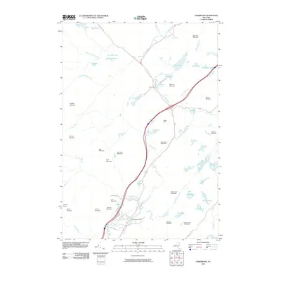
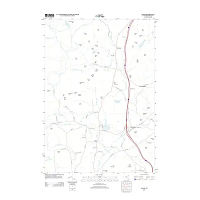
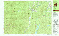 1978 Elizabethtown1979 Print · USGSElizabethtown and the Bouquet River valley are captured in the late seventies as the Adirondack Northway reshaped regional travel. Genealogists and historians can locate the Black River Cem, the Central School, and the Court House at the heart of this mountain community.2 unique versions available
 - 1978 Map of Lewbeach, 1979 Print
 1978 Lewbeach1979 Print · USGSThe High Peaks region in the late seventies reveals a landscape of high summits and small valley hamlets. Trace the family names of Stowersville and Deerhead, or locate the Central Cemetery and the Covered Bridge along the Ausable River East Branch.
 - 1986 Map of Lake Champlain South
 1986 Lake Champlain South1986 Print · USGSIn the mid-1980s, the shores of Lake Champlain linked the Adirondack high peaks with the Vermont valley. Genealogists and researchers can trace the rail lines of the Delaware & Hudson RR or locate historic settlements like Mineville and Au Sable Forks.2 unique versions available
 - 1999 Map of Lewis, 2000 Print
 1999 Lewis2000 Print · USGSThe eastern Adirondack wilderness meets the valley settlements of Essex County during the late twentieth century. Genealogists and local historians can trace family locations near the Boquet River, find burials at Central Cemetery, or locate the historic community of Stowersville.
 - 1999 Map of Witherbee, 2000 Print
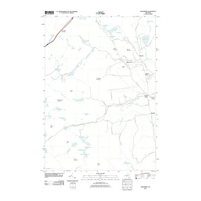
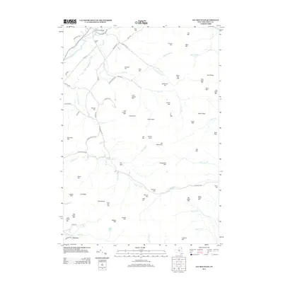
 1999 Witherbee2000 Print · USGSThe Adirondack mining district at the close of the twentieth century shows a landscape shaped by iron and industry. Researchers can trace the Lake Champlain and Moriah Railroad as it connects Witherbee and Mineville near the Belfry Mtn Lookout Tower.
 - 2010 Map of Underwood, 2010 Print
 2010 Underwood2010 Print · USGSCovers Elizabethtown, including Moriah, Keene, and other nearby areas
 - 2010 Map of Elizabethtown, 2010 Print
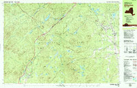
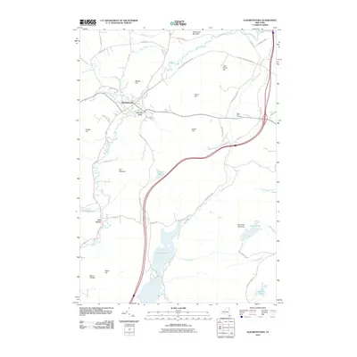 2010 Elizabethtown2010 Print · USGSCovers Elizabethtown, including Westport, Lewis, and other nearby areas
 - 2010 Map of Lewis, 2010 Print
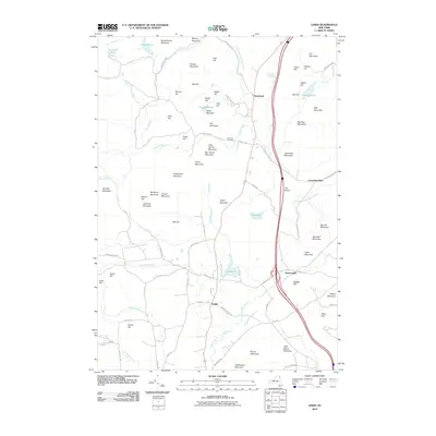 2010 Lewis2010 Print · USGSCovers Elizabethtown, including Chesterfield, Lewis, and other nearby areas
 - 2010 Map of Jay Mountain, 2010 Print
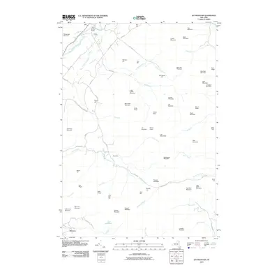 2010 Jay Mountain2010 Print · USGSCovers Elizabethtown, including Jay, Chesterfield, and other nearby areas
 - 2010 Map of Witherbee, 2010 Print
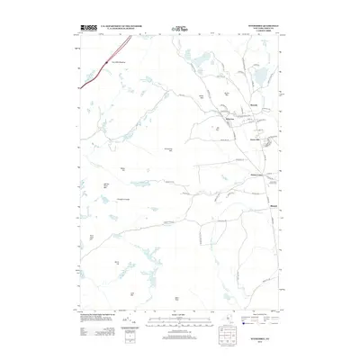
 2010 Witherbee2010 Print · USGSCovers Elizabethtown, including Moriah, Crown Point, and other nearby areas
 - 2011 Map of Rocky Peak Ridge, 2011 Print
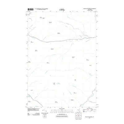 2011 Rocky Peak Ridge2011 Print · USGSCovers Elizabethtown, including Lewis, Keene, and other nearby areas
 - 2013 Map of Lewis, 2013 Print
 2013 Lewis2013 Print · USGSCovers Elizabethtown, including Chesterfield, Lewis, and other nearby areas
 - 2013 Map of Witherbee, 2013 Print
 2013 Witherbee2013 Print · USGSCovers Elizabethtown, including Moriah, Crown Point, and other nearby areas
 - 2013 Map of Jay Mountain, 2013 Print
 2013 Jay Mountain2013 Print · USGSCovers Elizabethtown, including Jay, Chesterfield, and other nearby areas
Showing maps 1-25 of 46
Top cities near Elizabethtown
- Moriah historical maps
- Ferrisburgh historical maps
- Jay historical maps
- Chesterfield historical maps
- Crown Point historical maps
- Willsboro historical maps
See more
Top neighborhoods of Elizabethtown
Frequently asked questions
- What are the different types of historical maps available for Elizabethtown?
- What is the oldest map of Elizabethtown?
- Where can I purchase historical maps of Elizabethtown for my home or office?
- Where can I download high-res historical maps of Elizabethtown?
- Are there historical topographic maps available for Elizabethtown?
- Is there historical aerial imagery available for Elizabethtown?
- Where are historical maps of Elizabethtown sourced from?