Old Maps of Averyville, North Elba for Metal Detecting
Plan your next treasure hunt with 14 historic maps of Averyville. Find old homesites, ghost towns, trails, and gathering spots that may be lost to time — perfect for identifying promising metal detecting locations.
- Locate forgotten sites: Uncover places like long-lost settlements, abandoned rail lines, or gathering spots.
- Plan better hunts: Use map overlays combined with LiDAR or satellite views to narrow in on historically rich areas.
- Made for detectorists: Thousands of hobbyists use these maps to discover relics, coins, and hidden history.
Use these historic maps to boost your research and find new opportunities beneath the surface of Averyville.
Averyville, North Elba maps
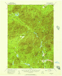
(14)- 1904 Map of Santanoni
 1904 Santanoni1904 Print · USGSThe Adirondack High Peaks are shown in the early twentieth century, an era of private sporting clubs and heavy iron mining. Trace early trails and remote outposts like Mac Intyre Ironworks, Camp Santanoni, and the Tahawus Club.10 unique versions available
 - 1948 Map of Ogdensburg, 1973 Print
 1948 Ogdensburg1973 Print · USGSThe international border along the St Lawrence River comes to life in the late 1940s, showing the vital rail and water connections between New York and Ontario. Researchers can trace the grounds of St Lawrence University, the massive Camp Drum military reservation, and the historic Rideau River and Canal.2 unique versions available
 - 1951 Map of Ogdensburg
 1951 Ogdensburg1951 Print · USGSThe St. Lawrence frontier and the North Country are captured here during the post-war era, from the river ports to the high Adirondacks. Genealogists and historians can trace the rail-and-river economy through Ogdensburg, the Rutland rail lines, and Potsdam.
 - 1953 Map of Ogdensburg
 1953 Ogdensburg1953 Print · USGSThe North Country and St. Lawrence Valley are shown here in the early fifties, just as the region’s rail-and-river economy remained in full swing. Genealogists and historians can trace family-named corners and rural hubs along the Rutland railroad or locate heritage sites near Ogdensburg, Potsdam, and the St Regis Indian Reservation.
 - 1953 Map of Santanoni, 1957 Print
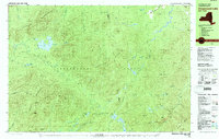
 1953 Santanoni1957 Print · USGSThe High Peaks of Essex County are documented in the early 1950s, showing a landscape defined by deep wilderness and early industrial outposts. Researchers can trace the Northville Placid Trail or locate the Old MacIntyre Furnace and the settlement at Tahawus.5 unique versions available
 - 1961 Map of Ogdensburg
 1961 Ogdensburg1961 Print · USGSThe St. Lawrence valley and the Adirondack high country meet in this early sixties survey during a peak era for rail and river commerce. Genealogists and historians can trace the paths of the New York Central railroad through remote settlements like Wanakena, Conifer, and Piercefield.
 - 1978 Map of Ampersand Lake, 1979 Print
 1978 Ampersand Lake1979 Print · USGSThe High Peaks wilderness in the late seventies is captured here at the junction of Franklin and Essex Counties. Outdoor historians and researchers can trace the Northville Placid Trail to landmarks like Wanika Falls Shelter, Duck Hole, and the peaks of Seward Mountain.2 unique versions available
 - 1985 Map of Tupper Lake, 1986 Print
 1985 Tupper Lake1986 Print · USGSThe Adirondacks in the mid-1980s reveal a network of mountain villages and timber-connected outposts. Researchers can trace the Adirondack RR through Saranac Lake or locate old industrial hamlets like Newton Falls and Gleasons Mill.2 unique versions available
 - 1999 Map of Ampersand Lake, 2001 Print
 1999 Ampersand Lake2001 Print · USGSThe Adirondack wilderness remained largely untouched by development at the end of the century, defined by remote peaks and the Northville Placid Trail. Hikers and historians can trace routes through Indian Pass or locate backcountry landmarks like Duck Hole and Wanika Falls.
 - 2010 Map of Street Mountain, 2010 Print
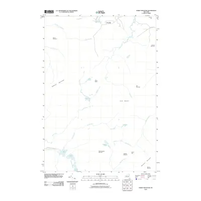 2010 Street Mountain2010 Print · USGSCovers Averyville, including North Elba, Harrietstown, and other nearby areas
 - 2013 Map of Street Mountain, 2013 Print
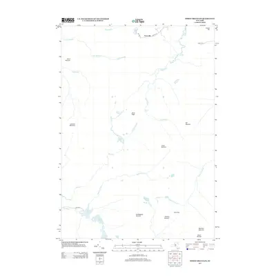 2013 Street Mountain2013 Print · USGSCovers Averyville, including North Elba, Harrietstown, and other nearby areas
 - 2016 Map of Street Mountain, 2016 Print
 2016 Street Mountain2016 Print · USGSCovers Averyville, including North Elba, Harrietstown, and other nearby areas
 - 2019 Map of Street Mountain, 2019 Print
 2019 Street Mountain2019 Print · USGSCovers Averyville, including North Elba, Harrietstown, and other nearby areas
 - 2023 Map of Street Mountain, 2023 Print
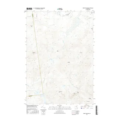
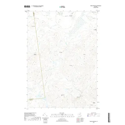
 2023 Street Mountain2023 Print · USGSThe High Peaks region of Essex County is shown here in the 2020s, highlighting the intricate network of backcountry trails and remote summits. Trace the paths to Indian Pass, identify the location of Wanika Falls, or study the shorelines of Duck Hole and Scott Pond.
End of results
Showing maps 1-14 of 14
Top cities near Averyville
- North Elba historical maps
- Harrietstown historical maps
- Saranac Lake historical maps
- Lake Placid historical maps
- Black Brook historical maps
- Saint Armand historical maps
See more
Frequently asked questions
- What are the different types of historical maps available for Averyville?
- What is the oldest map of Averyville?
- Where can I purchase historical maps of Averyville for my home or office?
- Where can I download high-res historical maps of Averyville?
- Are there historical topographic maps available for Averyville?
- Is there historical aerial imagery available for Averyville?
- Where are historical maps of Averyville sourced from?