
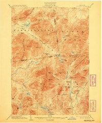
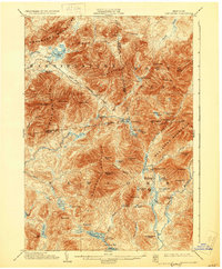
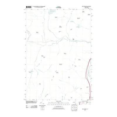
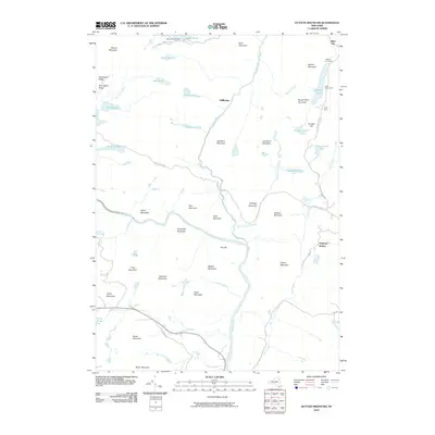
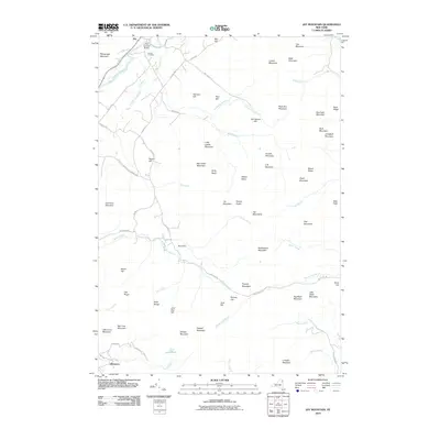
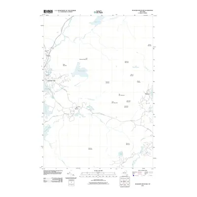
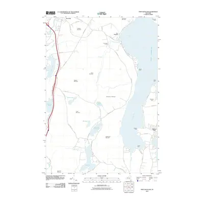
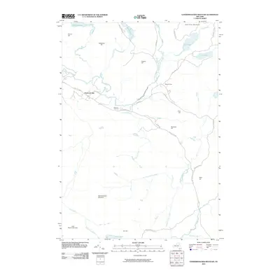
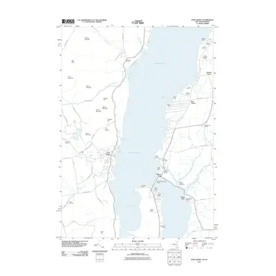
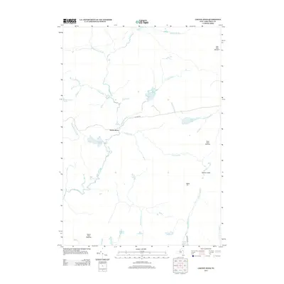
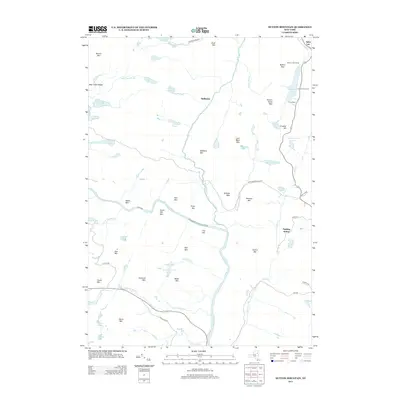
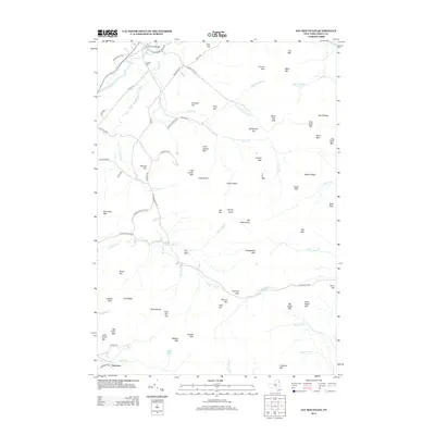
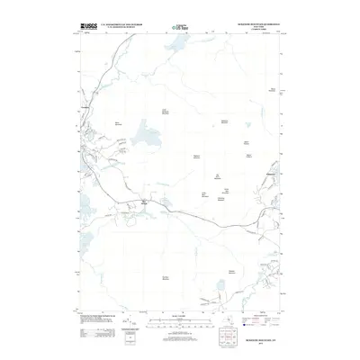
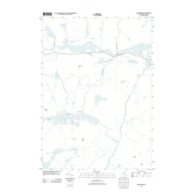
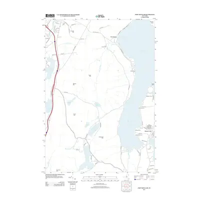
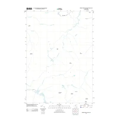
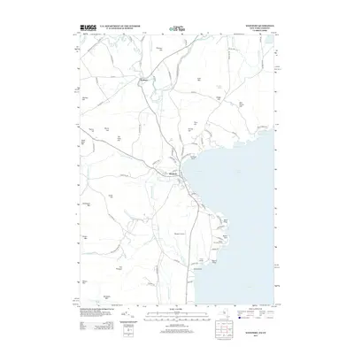
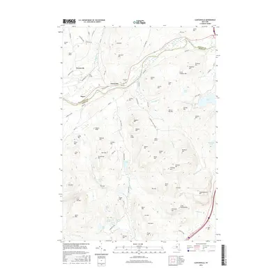
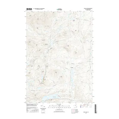
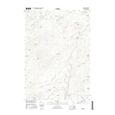
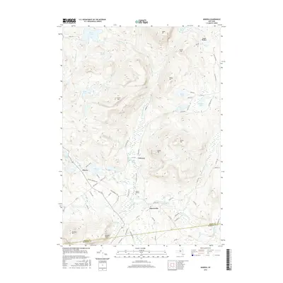
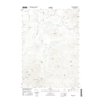
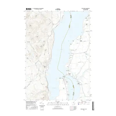
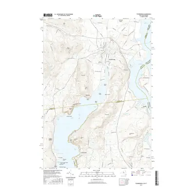
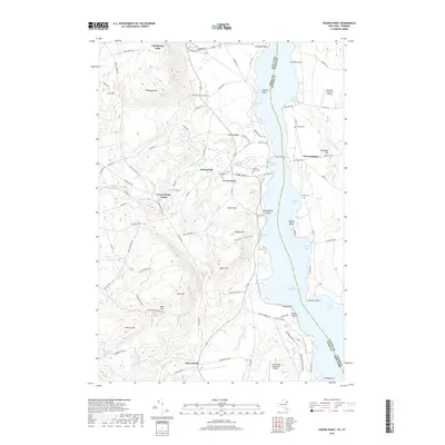
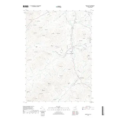
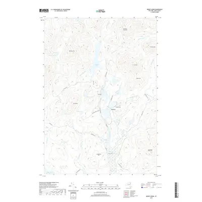
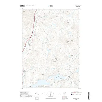
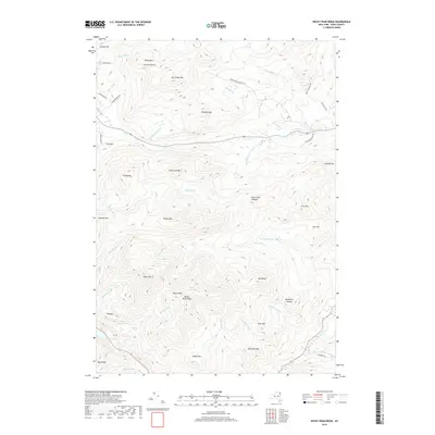
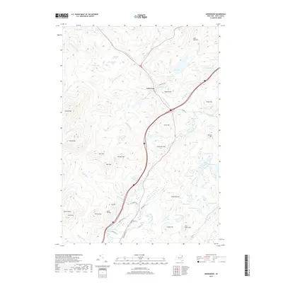
1904 Map of Santanoni
USGS Topo · Published 1904About this map
Mac Intyre Ironworks and the Tahawus Club anchor the industrial and social history of this Adirondack region at the turn of the century. The landscape is dominated by massive massifs including the Ampersand Mountains, Seward Mountains, and the Mac Intyre Mountains, with high peaks like Santanoni Peak and Panther Peak rising above a dense network of water bodies.
Find a feature on this map
71 named features on this map. Tap any name to fly to it.
Don’t see what you’re looking for? This feature index may not catch every label — zoom into the map to look around manually.
Map Details
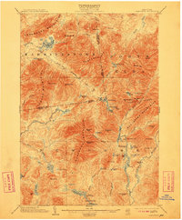
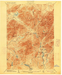
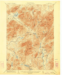
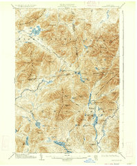
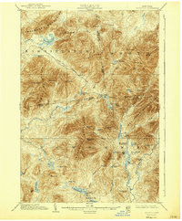
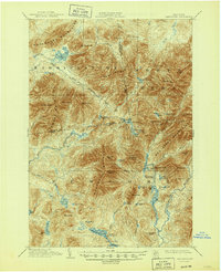
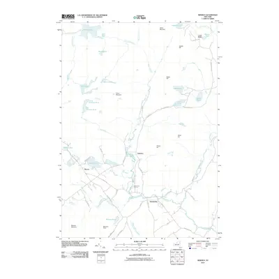
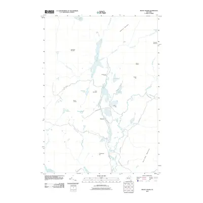
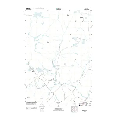
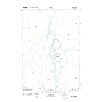
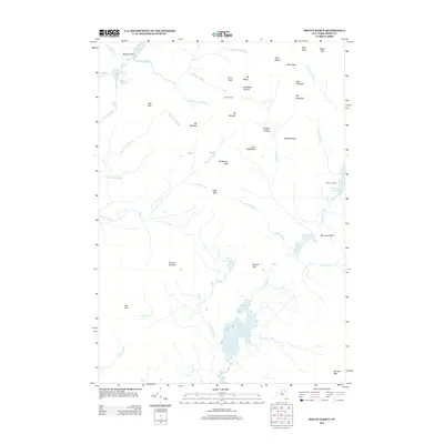
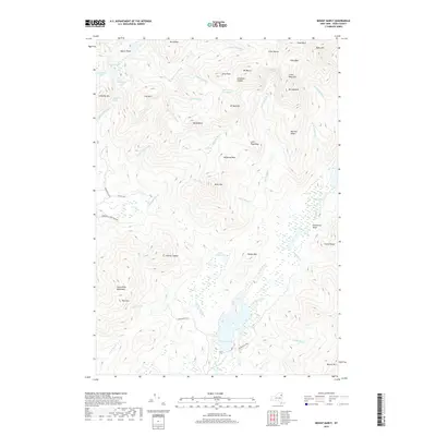
Editions of this 1904 Santanoni Map
10 editions found
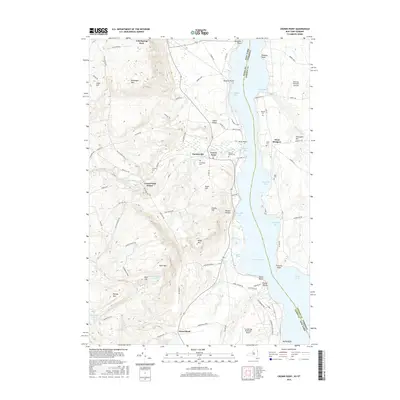
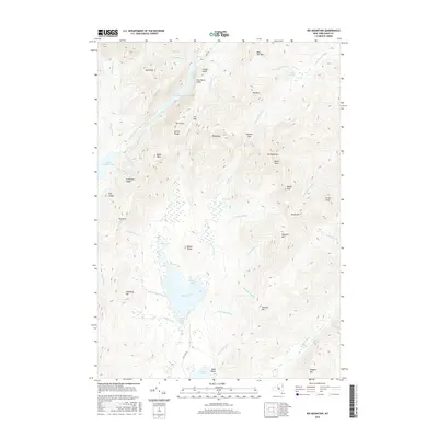
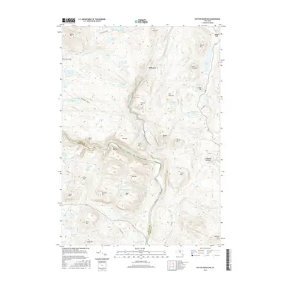
Historical Maps of North Elba Through Time
213 maps found

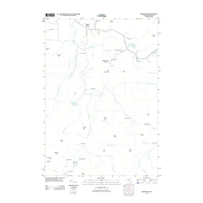
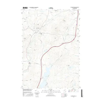
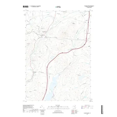
1894 Elizabethtown
Essex County, NY

1894 Port Henry
Essex County, NY

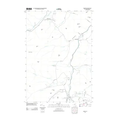
1895 Ausable
Essex County, NY

1895 Elizabethtown
Essex County, NY

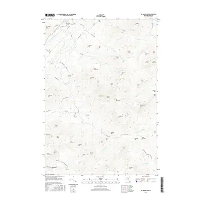
1895 Mt. Marcy
Essex County, NY

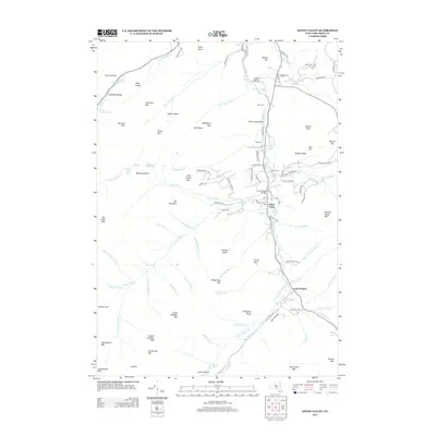
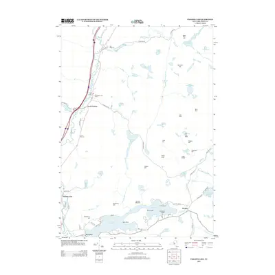
1895 Paradox Lake
Essex County, NY

1895 Willsboro
Essex County, NY

1897 Paradox Lake
Essex County, NY

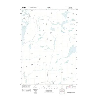
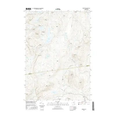
1898 Newcomb
Essex County, NY

1898 Port Henry
Essex County, NY

1901 Elizabethtown
Essex County, NY

1901 Newcomb
Essex County, NY

1902 Mt. Marcy
Essex County, NY

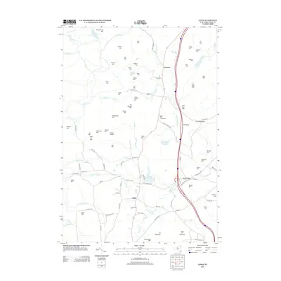
1903 Ausable
Essex County, NY

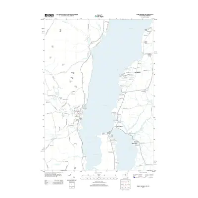
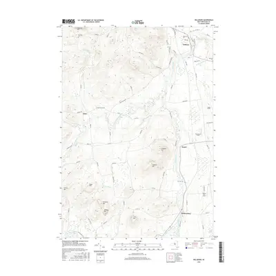
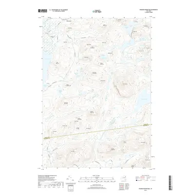
1904 Santanoni
Essex County, NY

1941 Willsboro
Essex County, NY

1943 Willsboro
Essex County, NY

1945 Port Henry
Essex County, NY

1947 Port Henry
Essex County, NY

1950 Crown Point
Essex County, NY

1950 Lake Champlain
Essex County, NY

1950 Ticonderoga
Essex County, NY

1953 Mount Marcy
Essex County, NY

1953 Paradox Lake
Essex County, NY

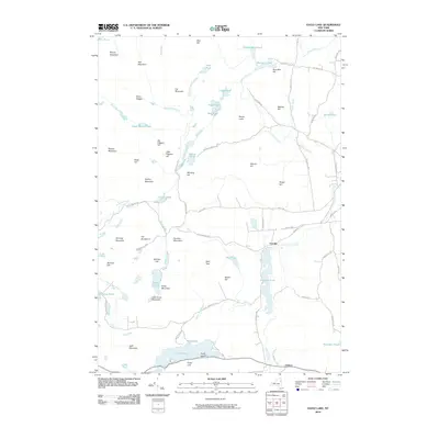
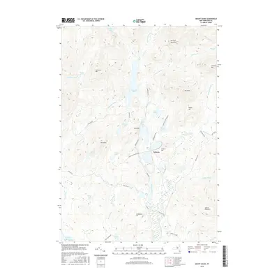
1953 Santanoni
Essex County, NY

1954 Newcomb
Essex County, NY

1955 Elizabethtown
Essex County, NY

1956 Willsboro
Essex County, NY

1958 Lake Champlain
Essex County, NY

1962 Lake Champlain
Essex County, NY

1973 Eagle Lake
Essex County, NY

1973 Graphite
Essex County, NY

1973 Paradox Lake
Essex County, NY

1973 Pharaoh Mountain
Essex County, NY

1978 Elizabethtown
Essex County, NY

1978 Lewbeach
Essex County, NY

1978 Wilmington
Essex County, NY

1979 Keene Valley
Essex County, NY

1979 Mount Marcy
Essex County, NY

1979 Santanoni Peak
Essex County, NY

1980 Port Henry
Essex County, NY

1980 Westport
Essex County, NY

1980 Willsboro Bay
Essex County, NY

1980 Willsboro
Essex County, NY

1986 Lake Champlain South
Essex County, NY

1986 Ticonderoga
Essex County, NY

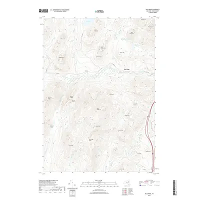
1989 Blue Ridge
Essex County, NY

1989 Dutton Mountain
Essex County, NY

1989 Newcomb
Essex County, NY

1989 Ticonderoga
Essex County, NY

1997 Dutton Mountain
Essex County, NY

1997 Newcomb
Essex County, NY

1999 Keene Valley
Essex County, NY

1999 Lewis
Essex County, NY

1999 Mount Marcy
Essex County, NY

1999 Santanoni Peak
Essex County, NY

1999 Westport
Essex County, NY

1999 Willsboro
Essex County, NY
2010 Blue Ridge
Essex County, NY
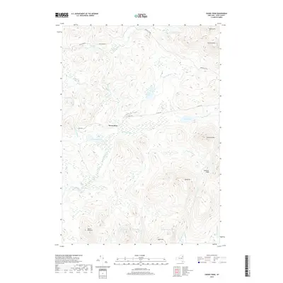
2010 Cheney Pond
Essex County, NY
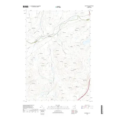
2010 Clintonville
Essex County, NY
2010 Dix Mountain
Essex County, NY
2010 Dutton Mountain
Essex County, NY
2010 Eagle Lake
Essex County, NY
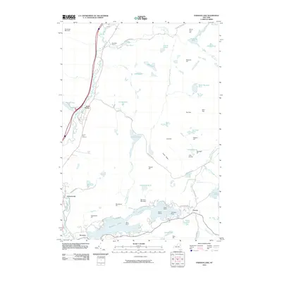
2010 Elizabethtown
Essex County, NY
2010 Graphite
Essex County, NY
2010 Jay Mountain
Essex County, NY
2010 Keene
Essex County, NY
2010 Keene Valley
Essex County, NY
2010 Lewis
Essex County, NY
2010 McKenzie Mountain
Essex County, NY
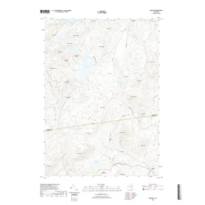
2010 Minerva
Essex County, NY
2010 Mount Adams
Essex County, NY
2010 Mount Marcy
Essex County, NY
2010 Newcomb
Essex County, NY
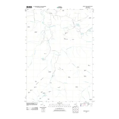
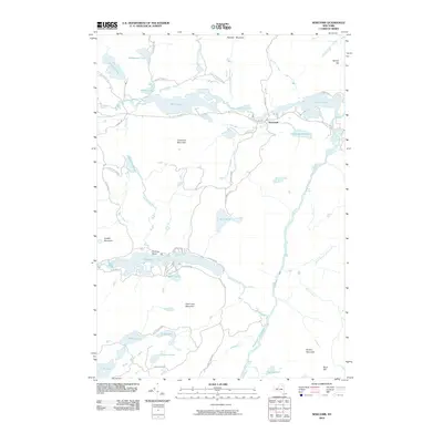
2010 North Elba
Essex County, NY
2010 Paradox Lake
Essex County, NY
2010 Pharaoh Mountain
Essex County, NY
2010 Port Douglass
Essex County, NY
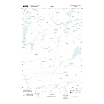
2010 Santanoni Peak
Essex County, NY
2010 Street Mountain
Essex County, NY
2010 Underwood
Essex County, NY
2010 Vanderwhacker Mountain
Essex County, NY
2010 Willsboro
Essex County, NY
2011 Rocky Peak Ridge
Essex County, NY
2012 Crown Point
Essex County, NY
2012 Port Henry
Essex County, NY
2012 Ticonderoga
Essex County, NY
2012 Westport
Essex County, NY
2013 Blue Ridge
Essex County, NY
2013 Cheney Pond
Essex County, NY
2013 Clintonville
Essex County, NY
2013 Crown Point
Essex County, NY
2013 Dix Mountain
Essex County, NY
2013 Dutton Mountain
Essex County, NY
2013 Eagle Lake
Essex County, NY
2013 Elizabethtown
Essex County, NY
2013 Graphite
Essex County, NY
2013 Jay Mountain
Essex County, NY
2013 Keene
Essex County, NY
2013 Keene Valley
Essex County, NY
2013 Lewis
Essex County, NY
2013 McKenzie Mountain
Essex County, NY
2013 Minerva
Essex County, NY
2013 Mount Adams
Essex County, NY
2013 Mount Marcy
Essex County, NY
2013 Newcomb
Essex County, NY
2013 North Elba
Essex County, NY
2013 Paradox Lake
Essex County, NY
2013 Pharaoh Mountain
Essex County, NY
2013 Port Douglass
Essex County, NY
2013 Port Henry
Essex County, NY
2013 Rocky Peak Ridge
Essex County, NY
2013 Santanoni Peak
Essex County, NY
2013 Street Mountain
Essex County, NY
2013 Ticonderoga
Essex County, NY
2013 Underwood
Essex County, NY
2013 Vanderwhacker Mountain
Essex County, NY
2013 Westport
Essex County, NY
2013 Willsboro
Essex County, NY
2016 Blue Ridge
Essex County, NY
2016 Cheney Pond
Essex County, NY
2016 Clintonville
Essex County, NY
2016 Crown Point
Essex County, NY
2016 Dix Mountain
Essex County, NY
2016 Dutton Mountain
Essex County, NY
2016 Eagle Lake
Essex County, NY
2016 Elizabethtown
Essex County, NY
2016 Graphite
Essex County, NY
2016 Jay Mountain
Essex County, NY
2016 Keene
Essex County, NY
2016 Keene Valley
Essex County, NY
2016 Lewis
Essex County, NY
2016 McKenzie Mountain
Essex County, NY
2016 Minerva
Essex County, NY
2016 Mount Adams
Essex County, NY
2016 Mount Marcy
Essex County, NY
2016 Newcomb
Essex County, NY
2016 North Elba
Essex County, NY
2016 Paradox Lake
Essex County, NY
2016 Pharaoh Mountain
Essex County, NY
2016 Port Douglass
Essex County, NY
2016 Port Henry
Essex County, NY
2016 Rocky Peak Ridge
Essex County, NY
2016 Santanoni Peak
Essex County, NY
2016 Street Mountain
Essex County, NY
2016 Ticonderoga
Essex County, NY
2016 Underwood
Essex County, NY
2016 Vanderwhacker Mountain
Essex County, NY
2016 Westport
Essex County, NY
2016 Willsboro
Essex County, NY
2019 Blue Ridge
Essex County, NY
2019 Cheney Pond
Essex County, NY
2019 Clintonville
Essex County, NY
2019 Crown Point
Essex County, NY
2019 Dix Mountain
Essex County, NY
2019 Dutton Mountain
Essex County, NY
2019 Eagle Lake
Essex County, NY
2019 Elizabethtown
Essex County, NY
2019 Graphite
Essex County, NY
2019 Jay Mountain
Essex County, NY
2019 Keene
Essex County, NY
2019 Keene Valley
Essex County, NY
2019 Lewis
Essex County, NY
2019 McKenzie Mountain
Essex County, NY
2019 Minerva
Essex County, NY
2019 Mount Adams
Essex County, NY
2019 Mount Marcy
Essex County, NY
2019 Newcomb
Essex County, NY
2019 North Elba
Essex County, NY
2019 Paradox Lake
Essex County, NY
2019 Pharaoh Mountain
Essex County, NY
2019 Port Douglass
Essex County, NY
2019 Port Henry
Essex County, NY
2019 Rocky Peak Ridge
Essex County, NY
2019 Santanoni Peak
Essex County, NY
2019 Street Mountain
Essex County, NY
2019 Ticonderoga
Essex County, NY
2019 Underwood
Essex County, NY
2019 Vanderwhacker Mountain
Essex County, NY
2019 Westport
Essex County, NY
2019 Willsboro
Essex County, NY

2023 Blue Ridge
Essex County, NY

2023 Cheney Pond
Essex County, NY

2023 Clintonville
Essex County, NY

2023 Crown Point
Essex County, NY

2023 Dix Mountain
Essex County, NY

2023 Dutton Mountain
Essex County, NY

2023 Eagle Lake
Essex County, NY

2023 Elizabethtown
Essex County, NY

2023 Graphite
Essex County, NY

2023 Jay Mountain
Essex County, NY

2023 Keene
Essex County, NY

2023 Keene Valley
Essex County, NY

2023 Lewis
Essex County, NY

2023 McKenzie Mountain
Essex County, NY

2023 Minerva
Essex County, NY

2023 Mount Adams
Essex County, NY

2023 Mount Marcy
Essex County, NY

2023 Newcomb
Essex County, NY

2023 North Elba
Essex County, NY

2023 Paradox Lake
Essex County, NY

2023 Pharaoh Mountain
Essex County, NY

2023 Port Douglass
Essex County, NY

2023 Port Henry
Essex County, NY

2023 Rocky Peak Ridge
Essex County, NY

2023 Santanoni Peak
Essex County, NY

2023 Street Mountain
Essex County, NY

2023 Ticonderoga
Essex County, NY

2023 Underwood
Essex County, NY

2023 Vanderwhacker Mountain
Essex County, NY

2023 Westport
Essex County, NY

2023 Willsboro
Essex County, NY