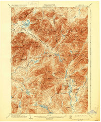
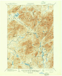
1904 Map of Santanoni
USGS Topo · Published 1930About this map
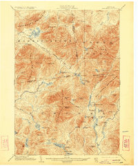
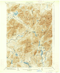
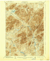
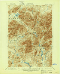
Mac Intyre Ironworks and the Tahawus Club anchor the southeastern portion of this landscape, marking a transition from industrial exploitation to private recreational use. The survey reveals a region defined by high peaks and remote water bodies, including Henderson Lake and Newcomb Lake, where human presence is largely limited to established camps like Camp Santanoni and Camp No. 4. The network of travel is dictated by natural corridors such as the Indian Pass and the Government Trail, which connects remote drainages across the Franklin Co Essex Co boundary.
Find a feature on this map
74 named features on this map. Tap any name to fly to it.
Don’t see what you’re looking for? This feature index may not catch every label — zoom into the map to look around manually.
Map Details
Editions of this 1904 Santanoni Map
10 editions found

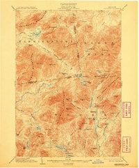
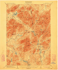
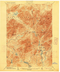
Other maps of this area

1895 · Mt. Marcy
USGS Topo · 1:62,500

1896 · Lake Placid
USGS Topo · 1:62,500

1897 · Schroon Lake
USGS Topo · 1:62,500

1898 · Newcomb
USGS Topo · 1:62,500

1898 · Lake Placid
USGS Topo · 1:62,500

1901 · Newcomb
USGS Topo · 1:62,500

1902 · Mt. Marcy
USGS Topo · 1:62,500

1902 · Saranac
USGS Topo · 1:62,500

1903 · Blue Mountain
USGS Topo · 1:62,500

1904 · Saranac
USGS Topo · 1:62,500