
1901 Map of Newcomb
USGS Topo · Published 1901About this map
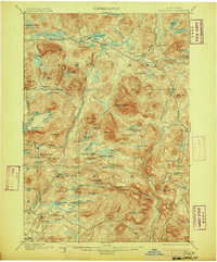
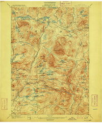
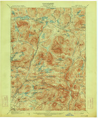
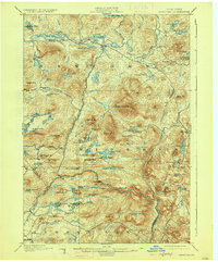
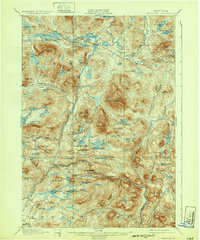
The upper reaches of the Hudson River flow through this 1896 survey, defining a high-elevation landscape where small settlements like Newcomb and Tahawus serve as anchors in a terrain of dense peaks and interconnected waters. The map illustrates the early geography of Adirondack recreation and industry, centering on landmarks such as the Northwoods Club and a Clubhouse near Moose Pond. While most of the area is dominated by significant peaks like Vanderwhacker Mt. and Goodenow Mt., the river corridors provided essential pathways for early travel and timber. To the south, the junction of the Hudson River and Boreas River near Gooley marks a major confluence. From the eastern outposts at Aiden Lair to the western waters of the Chain Lakes, the map records the specific names of ponds and streams that supported the region's hunting, fishing, and logging heritage at the turn of the century.
Find a feature on this map
95 named features on this map. Tap any name to fly to it.
Don’t see what you’re looking for? This feature index may not catch every label — zoom into the map to look around manually.
Map Details
Editions of this 1901 Newcomb Map
9 editions found
Other maps of this area

1895 · North Creek
USGS Topo · 1:62,500

1895 · Mt. Marcy
USGS Topo · 1:62,500

1897 · North Creek
USGS Topo · 1:62,500

1897 · Schroon Lake
USGS Topo · 1:62,500

1898 · Newcomb
USGS Topo · 1:62,500

1898 · Thirteenth Lake
USGS Topo · 1:62,500

1899 · Indian Lake
USGS Topo · 1:62,500

1902 · Mt. Marcy
USGS Topo · 1:62,500

1902 · Indian Lake
USGS Topo · 1:62,500

1903 · Blue Mountain
USGS Topo · 1:62,500