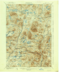
1901 Map of Newcomb
USGS Topo · Published 1938About this map
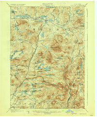
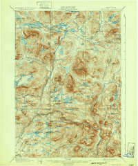
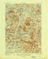
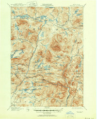
The upper reaches of the Hudson River define this high-country landscape at the turn of the century, where the river meets the Newcomb River amidst a dense network of lakes and glacial ponds. Settlement is sparse, anchored by the town of Newcomb and the industrial outpost at Tahawus, with much of the interior territory utilized for logging and private recreational camps. Notable amongst these are the Northwoods Club and the Clubhouse near Moose Pond, reflecting the era's emerging outdoor tourism economy. The map illustrates a transitional period in Adirondack history, recording remote outposts like Aiden Lair and Gooley before modern accessibility. Between peaks like Vanderwhacker Mt. and Goodnow Mt., the terrain is marked by numerous water bodies including Rich Lake, Harris Lake, and Balfour Pond, connected by narrow streams and seasonal trails like Ord Falls.
Find a feature on this map
89 named features on this map. Tap any name to fly to it.
Don’t see what you’re looking for? This feature index may not catch every label — zoom into the map to look around manually.
Map Details
Editions of this 1901 Newcomb Map
9 editions found
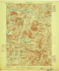
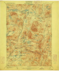
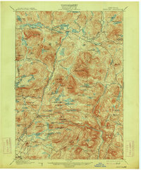
Other maps of this area

1895 · North Creek
USGS Topo · 1:62,500

1895 · Mt. Marcy
USGS Topo · 1:62,500

1897 · North Creek
USGS Topo · 1:62,500

1897 · Schroon Lake
USGS Topo · 1:62,500

1898 · Newcomb
USGS Topo · 1:62,500

1898 · Thirteenth Lake
USGS Topo · 1:62,500

1899 · Indian Lake
USGS Topo · 1:62,500

1901 · Newcomb
USGS Topo · 1:62,500

1902 · Mt. Marcy
USGS Topo · 1:62,500

1902 · Indian Lake
USGS Topo · 1:62,500